

New Hampshire
Mount Lincoln
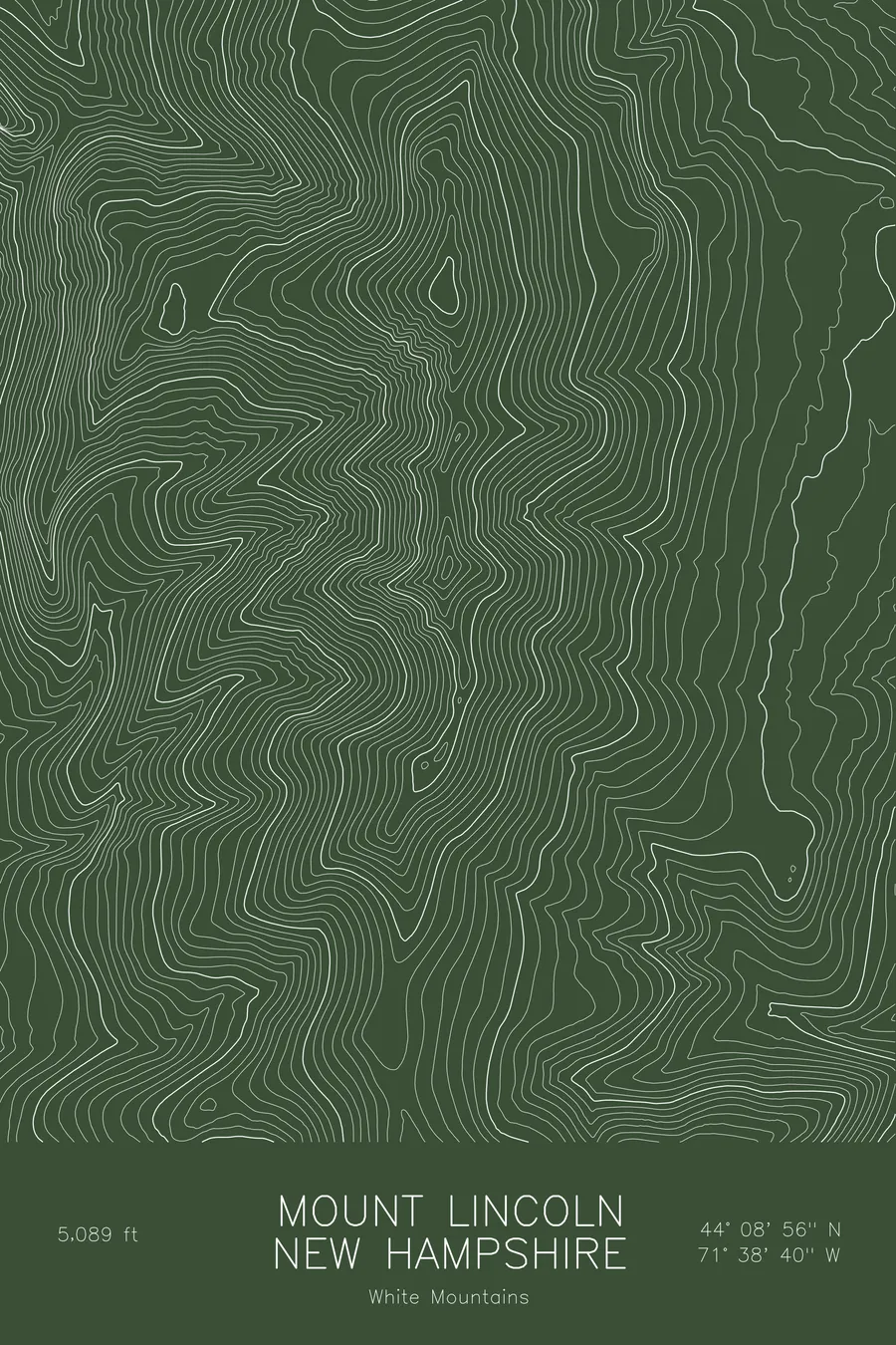
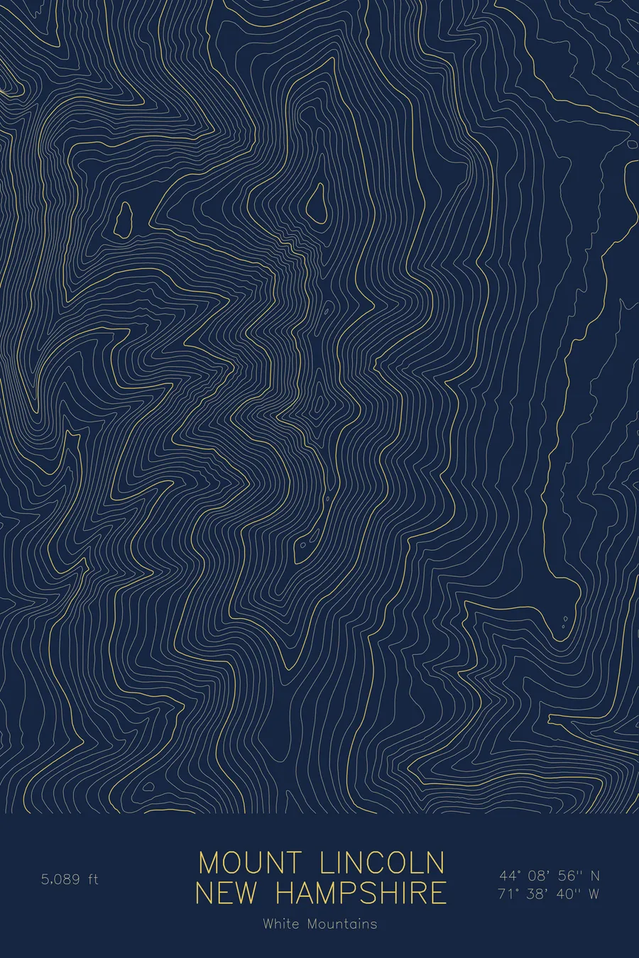
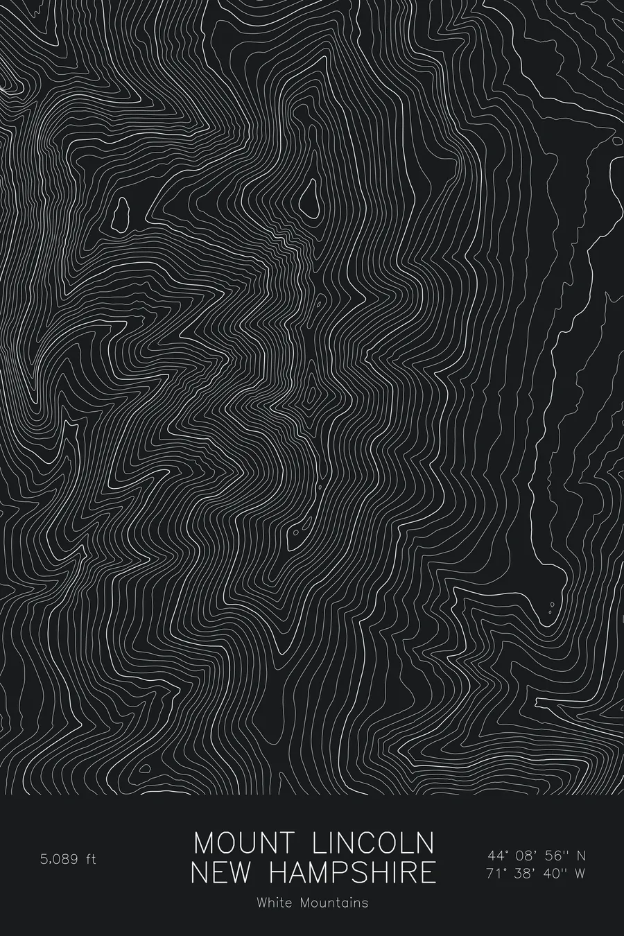
A pen-plotted topographic map of Mount Lincoln in the White Mountains, New Hampshire, drawn from real elevation contour data.
Franconia Ridge summit between Lafayette and Little Haystack, NH 4000-footer. 5,089 feet above sea level.
$54
Ink & paper: Blue
Size: 12×18"
+Personalize this map
+ Details
- 12 × 18 inches
- Drawn on 98 lb (160 gsm) archival cotton paper
- Precision technical pens and archival inks
- Signed and dated on the back
- Ships flat, protected, ready to frame
Each map begins with elevation data and is drawn by a pen plotter in our Vermont studio. Mechanical precision, plus the texture and small imperfections of real ink on paper.
Off the screen
In real rooms


+ About this map
Mount Lincoln rises to 5,089 feet on Franconia Ridge in the White Mountains of New Hampshire, the middle summit of the exposed alpine crest that runs from Little Haystack north to Mount Lafayette. The ridge walk across it, part of the Franconia Ridge loop, is one of the most travelled above-treeline routes in the eastern United States, with the floor of Franconia Notch more than 3,000 feet below on one side and the Pemigewasset Wilderness on the other.
This map traces the knife-edge geometry of the ridge. The contour lines pinch to a narrow crest between Lincoln and Lafayette, whose summit anchors the northern edge of the frame, and fall away sharply on both sides: west into Franconia Notch and east into the deep valley of Lincoln Brook. The east face is the steeper of the two, drawn as tight parallel bands with the slide scars that give the mountain its texture. Within this frame the terrain covers about 3,000 feet, compressed into a very small horizontal distance.
+ Map details
- Mount Lincoln
- New Hampshire
- United States
- White Mountains
- White Mountains
- 5,089 ft / 1,551 m
- 44.1489N 71.6445W
- Mountain topographic map
- Original pen plot, archival ink on cotton paper
- 8 × 12 in · 12 × 18 in · 18 × 24 in
- Franconia Ridge summit between Lafayette and Little Haystack, NH 4000-footer
More maps