

New Hampshire
Mount Madison
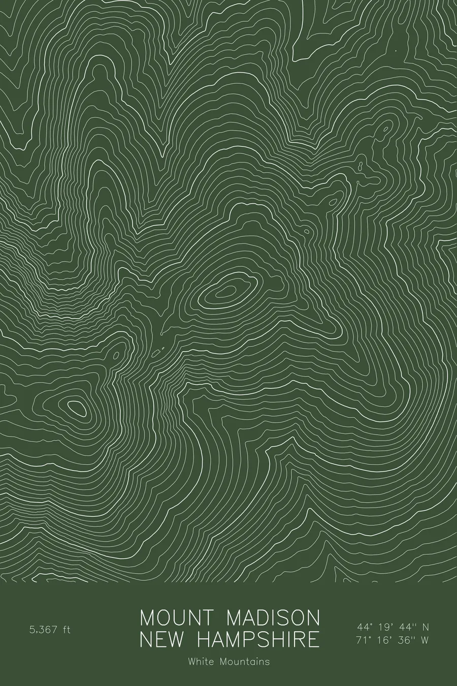
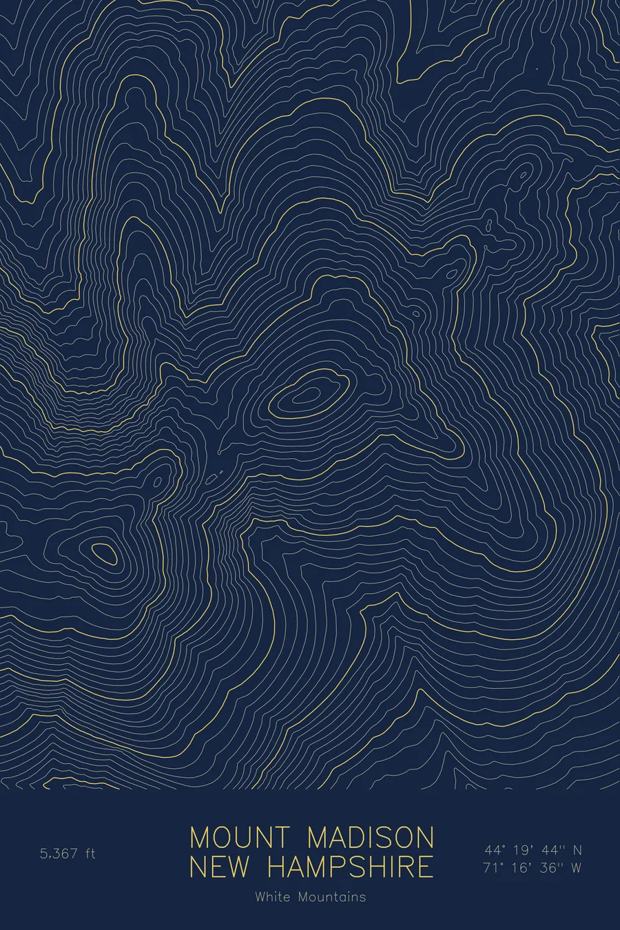
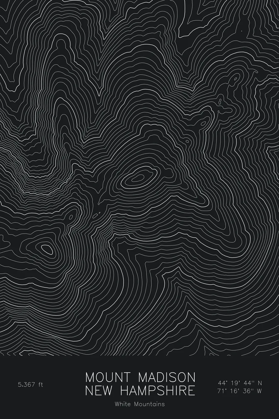
A pen-plotted topographic map of Mount Madison in the White Mountains, New Hampshire, drawn from real elevation contour data.
Northern Presidential Range summit above Madison Spring Hut. 5,367 feet above sea level.
$54
Ink & paper: Blue
Size: 12×18"
+Personalize this map
+ Details
- 12 × 18 inches
- Drawn on 98 lb (160 gsm) archival cotton paper
- Precision technical pens and archival inks
- Signed and dated on the back
- Ships flat, protected, ready to frame
Each map begins with elevation data and is drawn by a pen plotter in our Vermont studio. Mechanical precision, plus the texture and small imperfections of real ink on paper.
Off the screen
In real rooms


+ About this map
Mount Madison rises to 5,367 feet at the northern end of New Hampshire’s Presidential Range, the last major summit before the ridge drops toward the Androscoggin Valley. Madison Spring Hut sits in the col just below the summit, the oldest of the Appalachian Mountain Club’s high huts, and from the top the whole northern range is laid out: Adams close at hand, Jefferson beyond, and Washington at the far end of the crest.
This map traces the sharp, rocky cone of Madison and the deep valleys on either side of it. The contour lines tighten on the south side, where the mountain drops into Madison Gulf and the Great Gulf, the largest glacial cirque in the range, and run in long ridges to the north and east, including the Osgood Ridge that carries the Appalachian Trail to the summit. Mount Adams fills the southwest of the frame, joined to Madison by the high saddle at the hut. Within this frame the terrain covers about 3,400 feet from the valley floors to the crest of the range.
+ Map details
- Mount Madison
- New Hampshire
- United States
- White Mountains
- White Mountains
- 5,367 ft / 1,636 m
- 44.3288N 71.2768W
- Mountain topographic map
- Original pen plot, archival ink on cotton paper
- 8 × 12 in · 12 × 18 in · 18 × 24 in
- Northern Presidential Range summit above Madison Spring Hut
More maps