New York
Mount Marcy
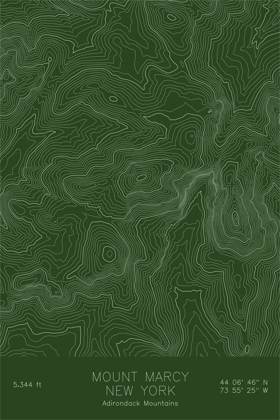
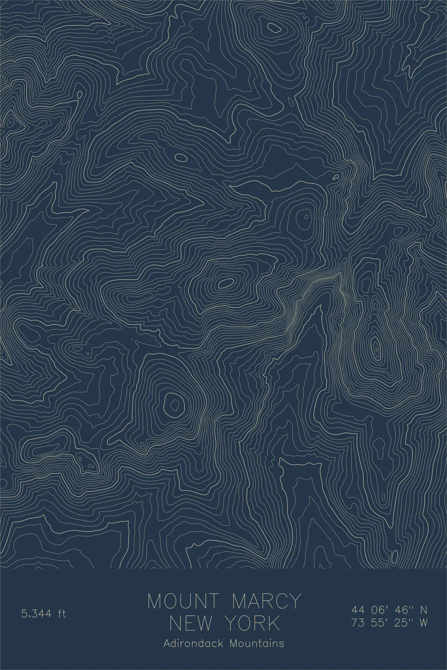
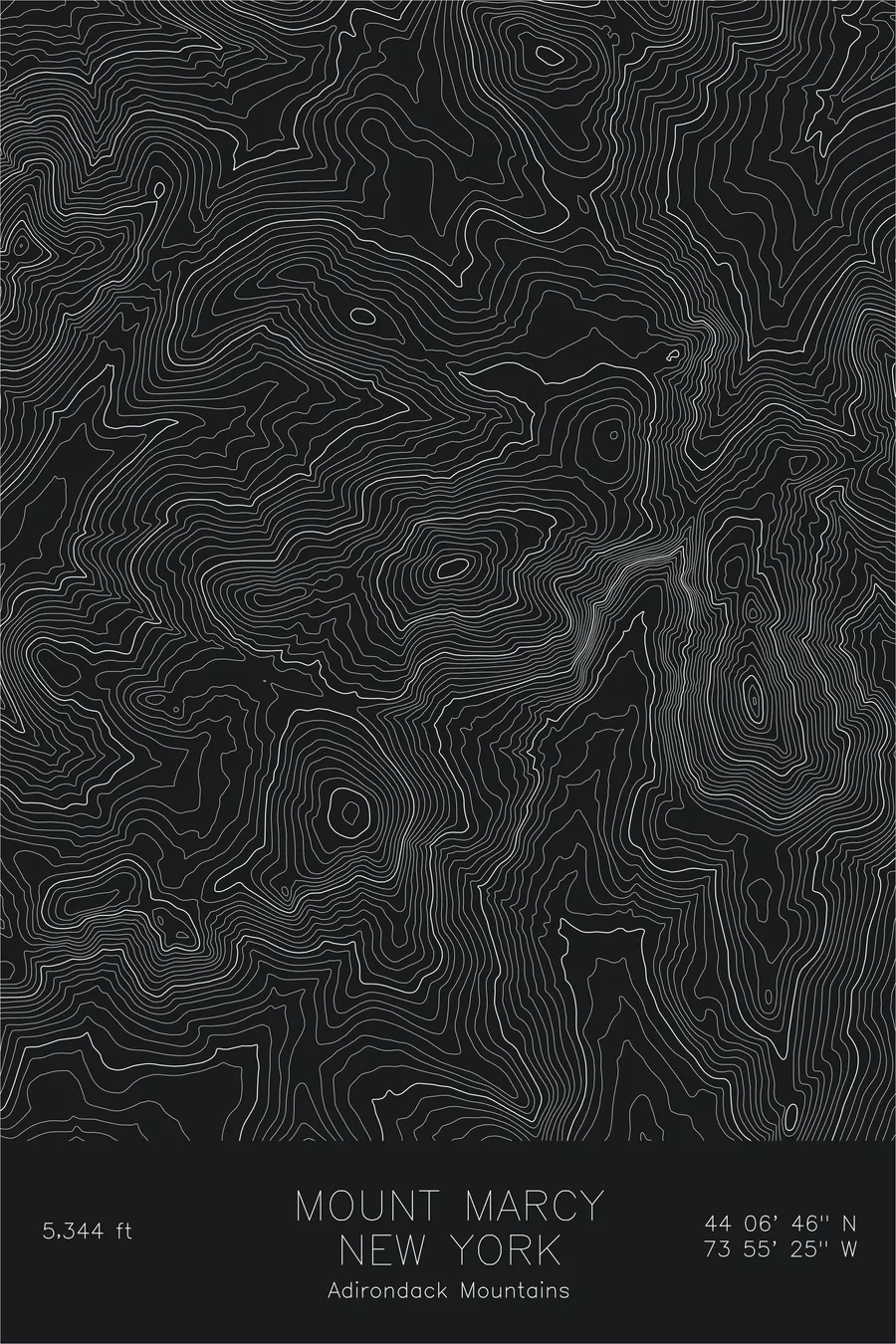
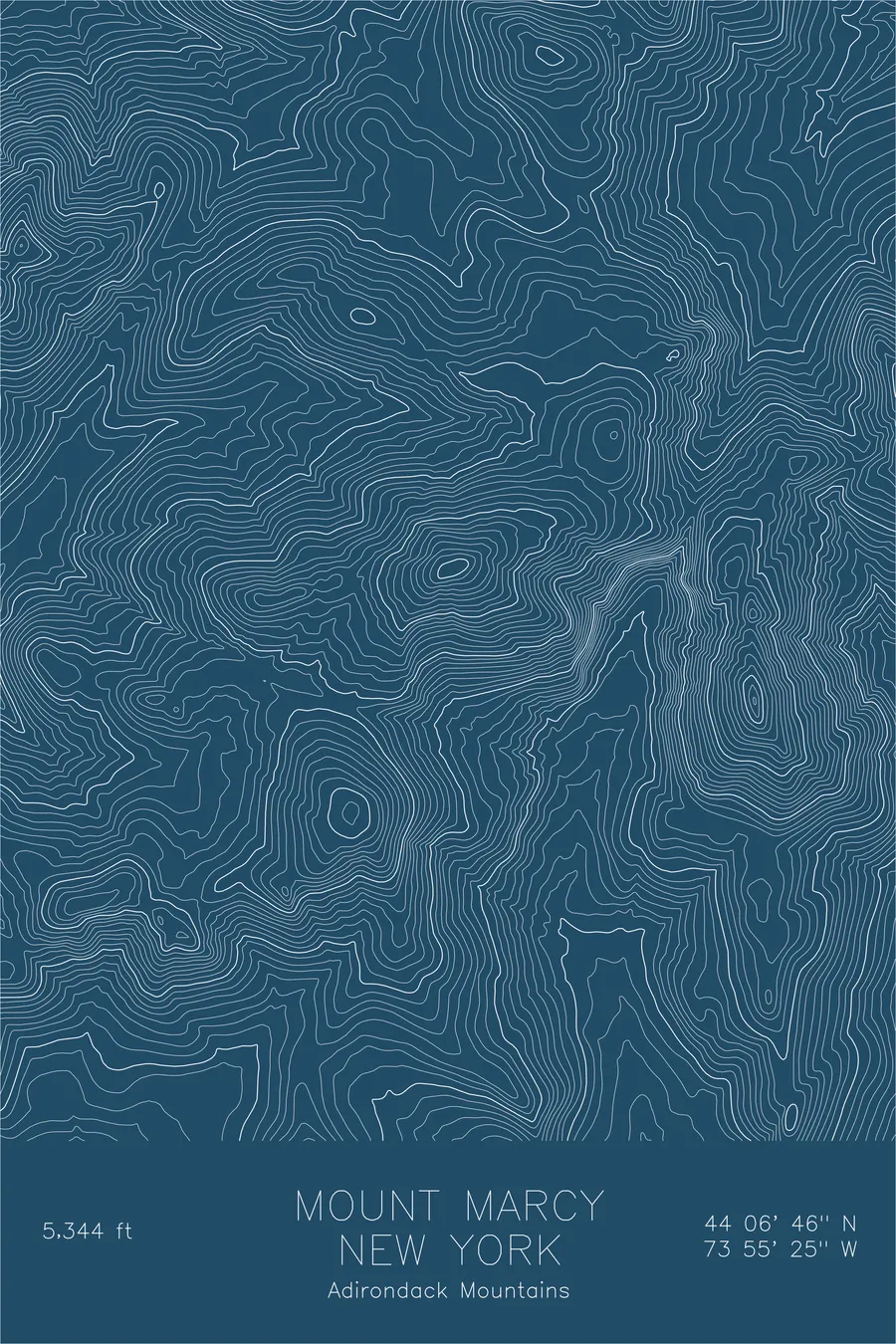
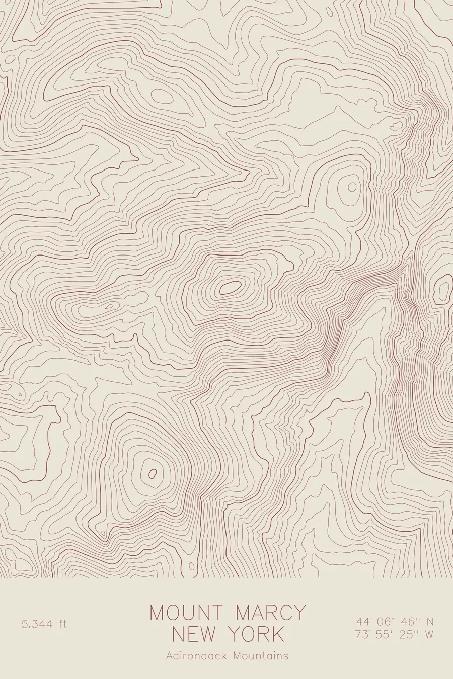
A pen-plotted topographic map of Mount Marcy in the Adirondack High Peaks, New York, drawn from real elevation contour data.
New York's highest peak and the source of the Hudson River. 5,344 feet above sea level.
$54
Ink & paper: Green
Size: 12×18"
+Personalize this map
+ Details
- 12 × 18 inches
- Drawn on 98 lb (160 gsm) archival cotton paper
- Precision technical pens and archival inks
- Signed and dated on the back
- Ships flat, protected, ready to frame
Each map begins with elevation data and is drawn by a pen plotter in our Vermont studio. Mechanical precision, plus the texture and small imperfections of real ink on paper.
Off the screen
In real rooms


+ About this map
Mount Marcy stands at 5,344 feet in the heart of the Adirondack High Peaks, the highest point in New York State. Lake Tear of the Clouds, a small alpine pond on its southwestern flank, is the highest source of the Hudson River. The peak is the centerpiece of the 46 High Peaks that draw hikers working toward the Adirondack 46er list. The approach from any direction is long, with the most popular route from the Adirondak Loj covering over 14 miles round trip.
This map captures the rugged terrain of the High Peaks Wilderness. Marcy sits at the hub of several radiating ridgelines, each leading to neighboring summits like Haystack, Skylight, and Gray Peak. The contour lines reveal the deep notches between peaks, with Panther Gorge on the south side showing as an especially dramatic compression of elevation. The surrounding valleys hold some of the wildest and most remote terrain in the northeastern United States.
+ Map details
- Mount Marcy
- New York
- United States
- Adirondack High Peaks
- Northeast
- 5,344 ft / 1,629 m
- 44.1127N 73.9237W
- Mountain topographic map
- Original pen plot, archival ink on cotton paper
- 8 × 12 in · 12 × 18 in · 18 × 24 in
- New York's highest peak and the source of the Hudson River
More maps