
Colorado
Mount Massive
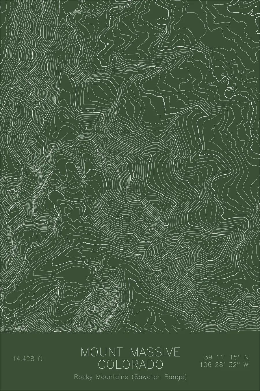
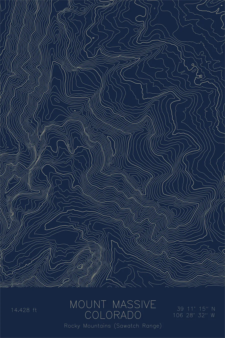
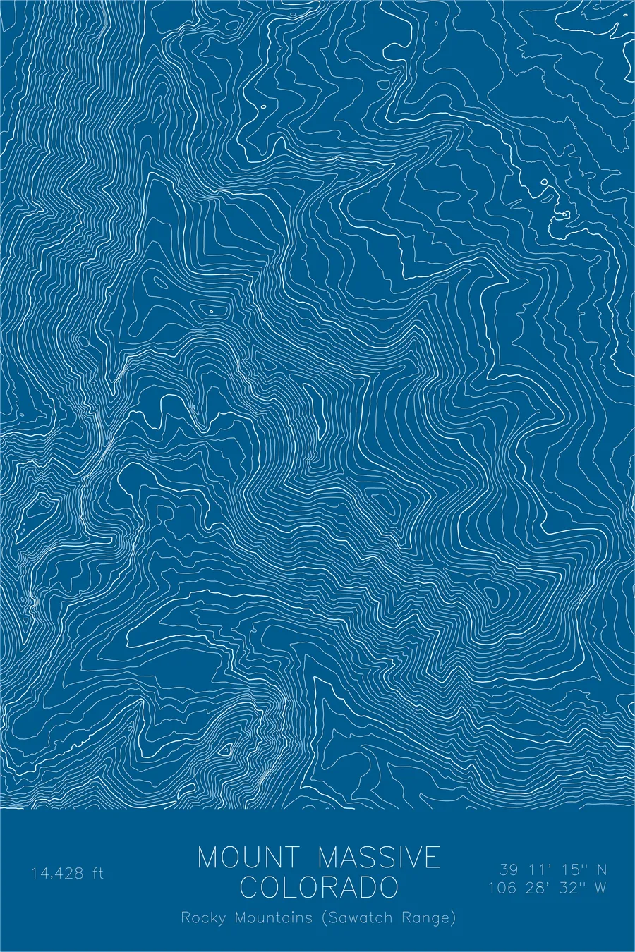
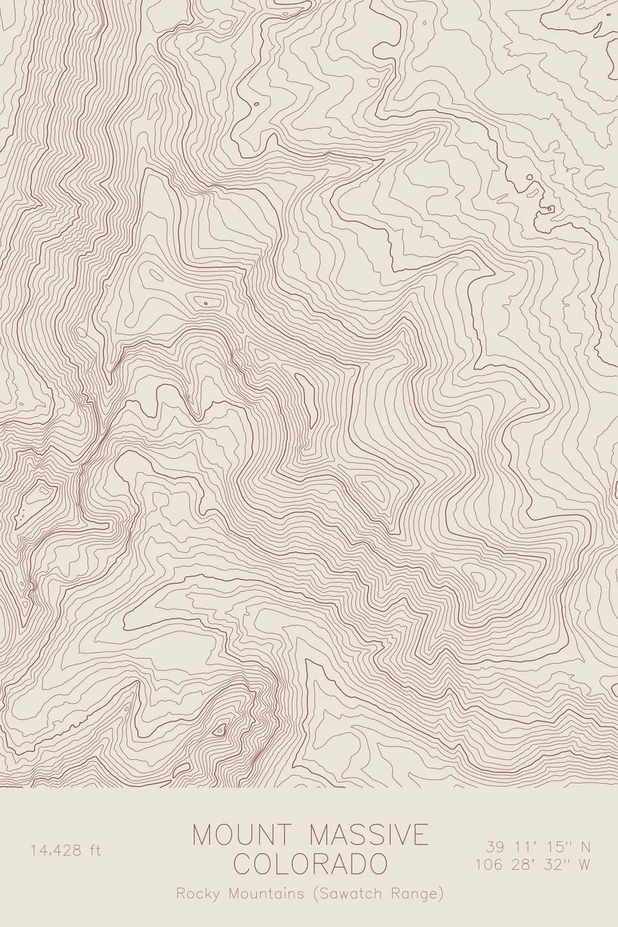
A pen-plotted topographic map of Mount Massive in the Sawatch Range, Colorado, drawn from real elevation contour data.
Second highest peak in the Rocky Mountains. 14,428 feet above sea level.
$54
Ink & paper: Black
Size: 12×18"
+Personalize this map
+ Details
- 12 × 18 inches
- Drawn on 98 lb (160 gsm) archival cotton paper
- Precision technical pens and archival inks
- Signed and dated on the back
- Ships flat, protected, ready to frame
Each map begins with elevation data and is drawn by a pen plotter in our Vermont studio. Mechanical precision, plus the texture and small imperfections of real ink on paper.
Off the screen
In real rooms


+ About this map
Mount Massive rises 14,428 feet in Colorado’s Sawatch Range, the second highest peak in the Rocky Mountains, trailing only its neighbor Mount Elbert. The name is earned. The mountain holds more terrain above 14,000 feet than any other peak in the contiguous United States, a summit ridge roughly three miles long that carries five distinct high points. From the old mining town of Leadville, it fills the western horizon.
This map shows why the mountain reads as a wall rather than a point. The contour lines run long and parallel along the great summit ridge, linking the main summit with North Massive and its other subsidiary tops. On the east side, the lines gather into the drainages that feed the Arkansas River valley, while the western slopes fall toward Halfmoon Creek. The print captures a peak defined not by a single dramatic spire but by sheer sustained bulk, a crest that stays near the top of the continent for mile after mile.
+ Map details
- Mount Massive
- Colorado
- United States
- Rocky Mountains (Sawatch Range)
- Rocky Mountains
- 14,428 ft / 4,398 m
- 39.1875N 106.4756W
- Mountain topographic map
- Original pen plot, archival ink on cotton paper
- 8 × 12 in · 12 × 18 in · 18 × 24 in
- Second highest peak in the Rocky Mountains
More maps