North Carolina
Mount Mitchell
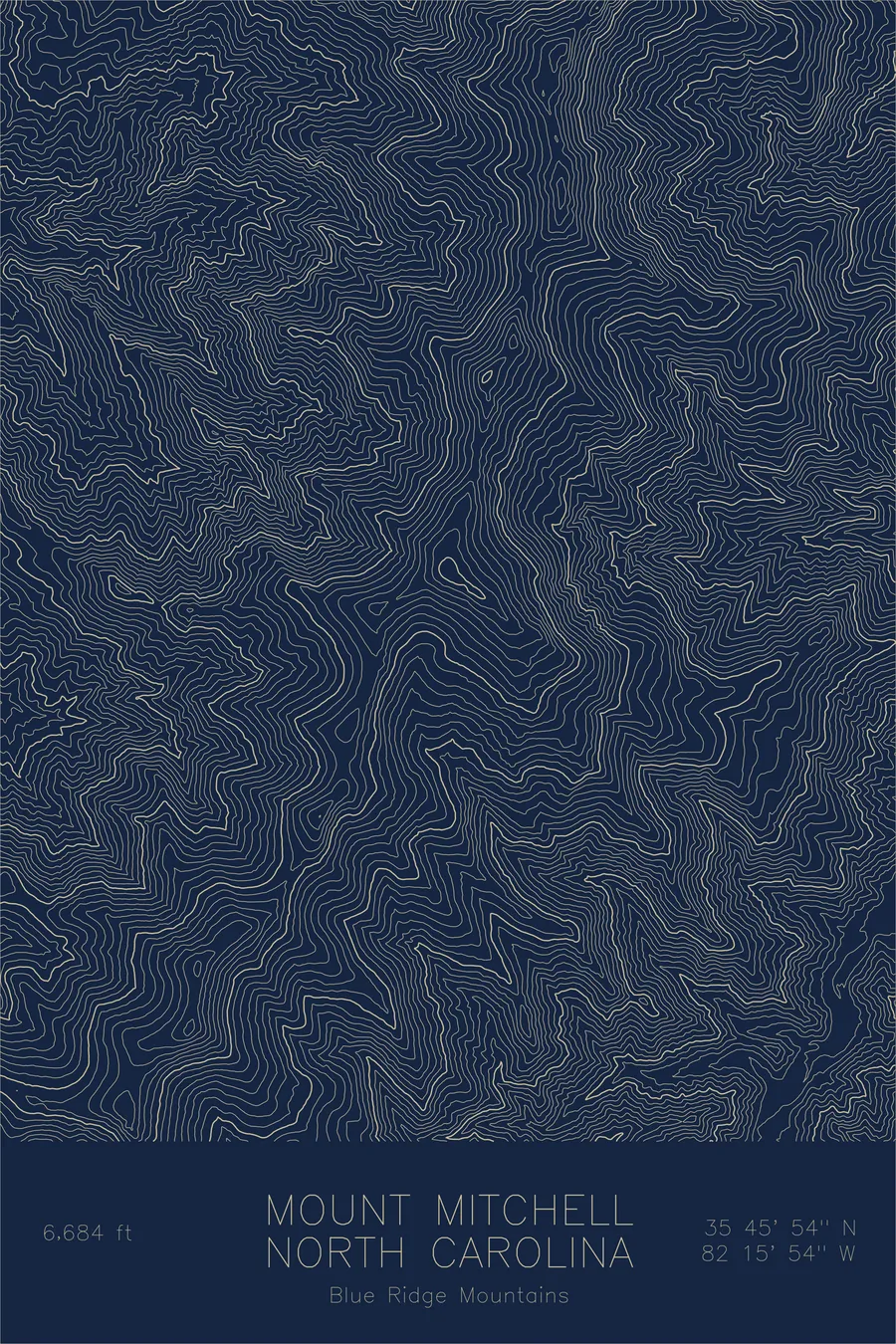
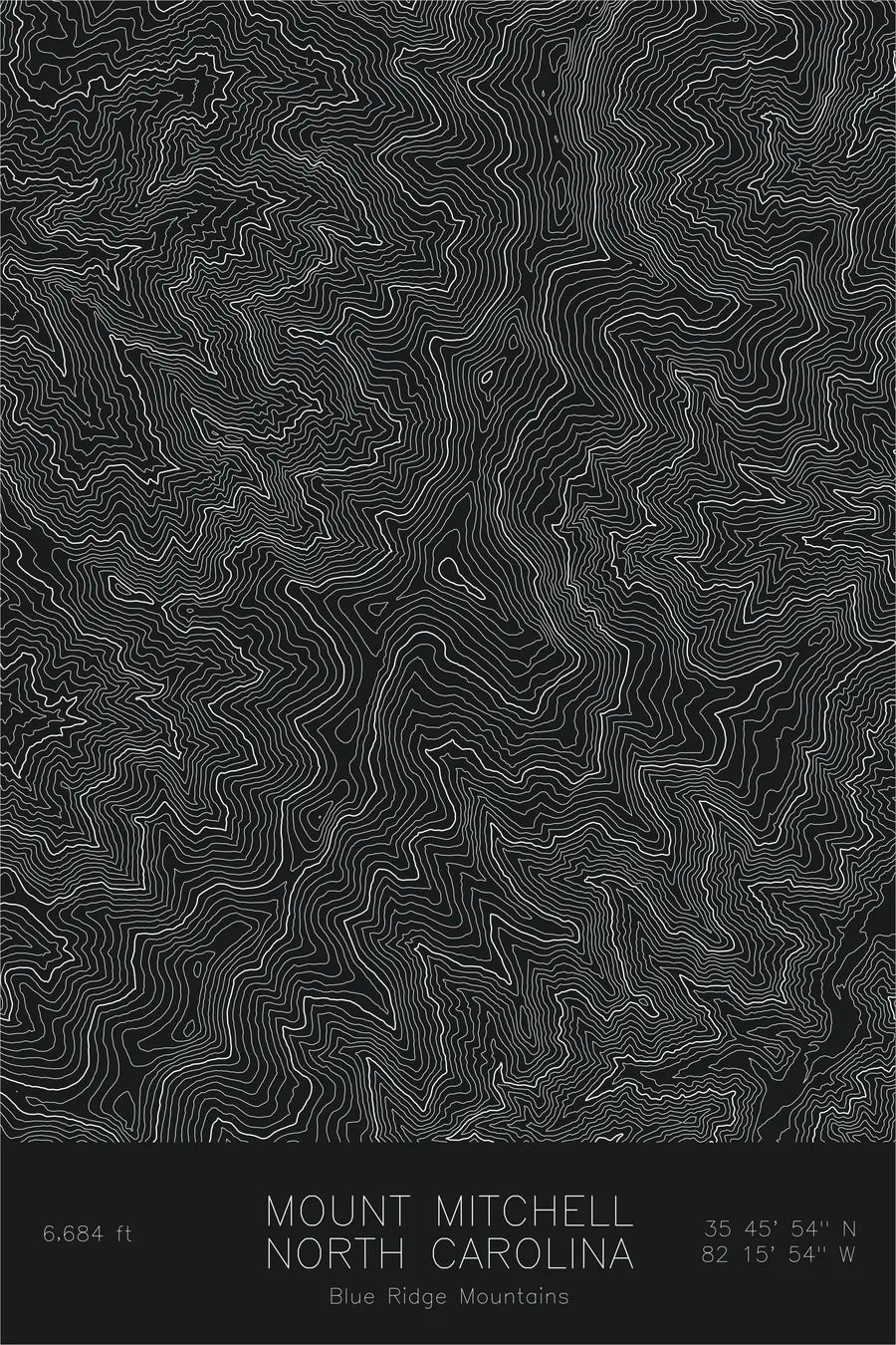
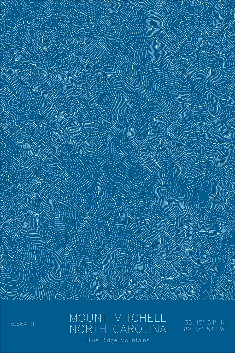
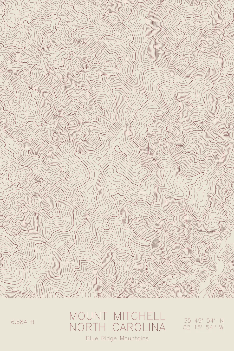
A pen-plotted topographic map of Mount Mitchell in the Blue Ridge Mountains, North Carolina, drawn from real elevation contour data.
Highest peak east of the Mississippi River. 6,684 feet above sea level.
$54
Ink & paper: Green
Size: 12×18"
+Personalize this map
+ Details
- 12 × 18 inches
- Drawn on 98 lb (160 gsm) archival cotton paper
- Precision technical pens and archival inks
- Signed and dated on the back
- Ships flat, protected, ready to frame
Each map begins with elevation data and is drawn by a pen plotter in our Vermont studio. Mechanical precision, plus the texture and small imperfections of real ink on paper.
Off the screen
In real rooms


+ About this map
Mount Mitchell rises 6,684 feet in the Black Mountains, a compact subrange of North Carolina’s Blue Ridge, and it is the highest point east of the Mississippi River. The summit carries a spruce-fir forest more typical of Canada than the American South, a relic of the last ice age stranded at altitude. The mountain is named for Elisha Mitchell, the professor who measured it in the 1830s and died on its slopes in 1857 while defending his claim. He is buried at the summit.
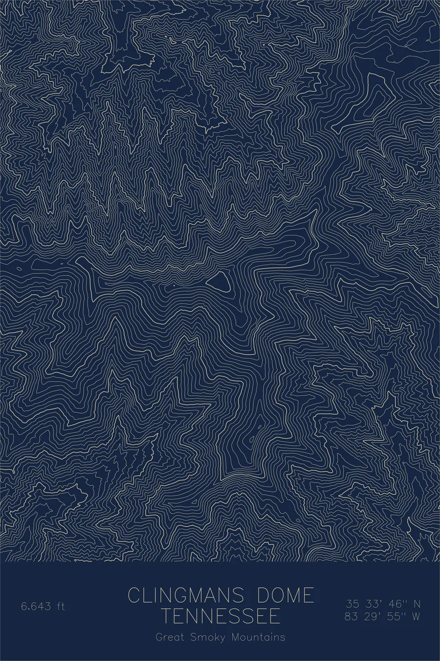
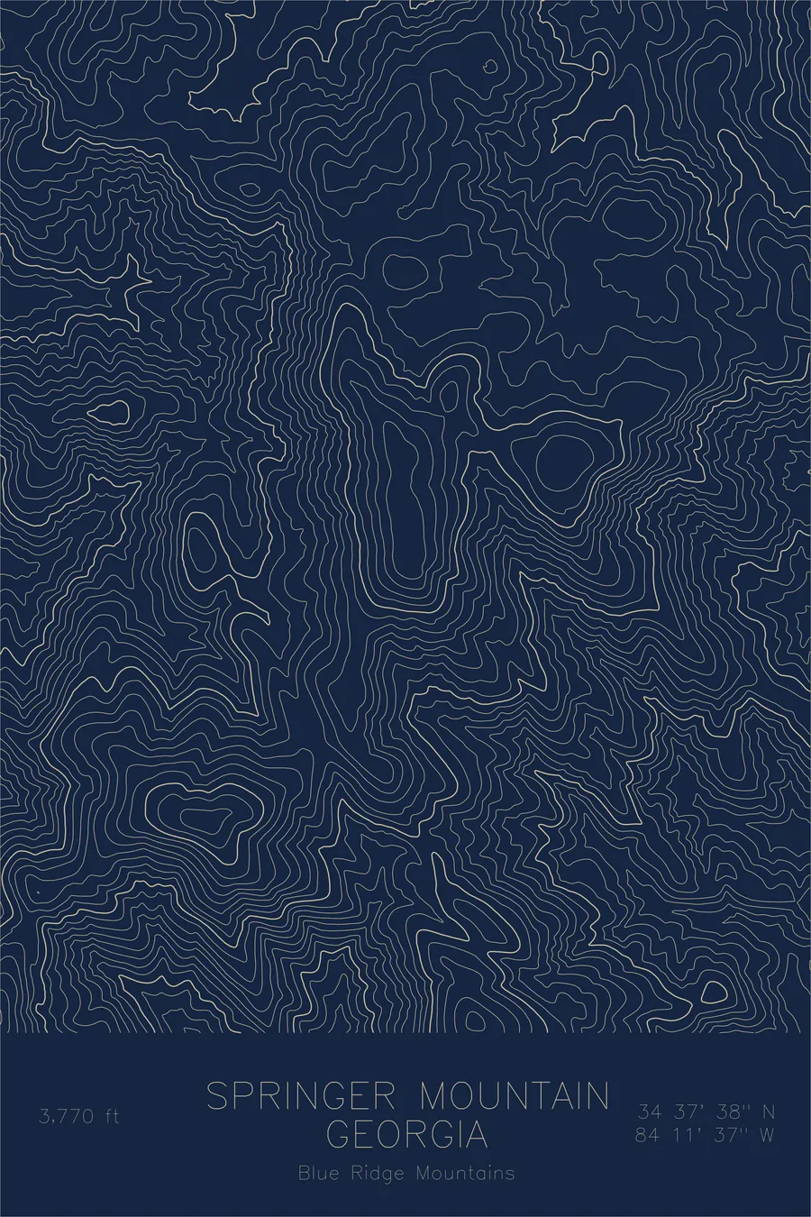
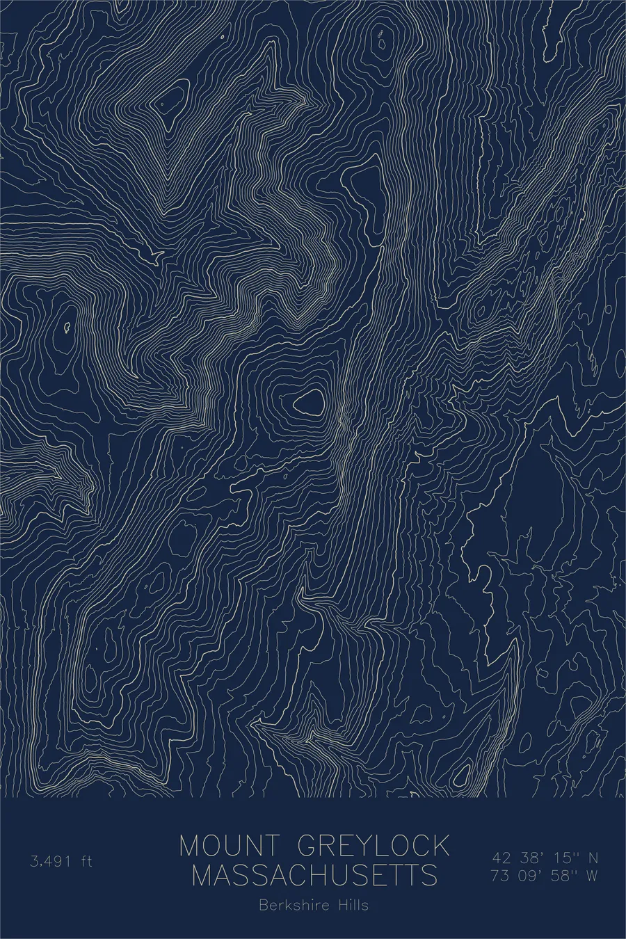
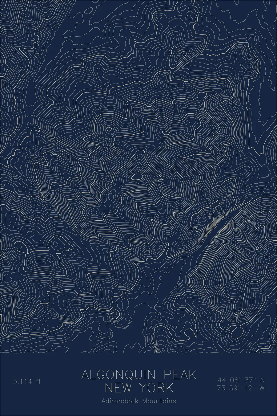
This map shows a different kind of high country from the western ranges. The contour lines trace a long crest running north from Mitchell toward Mount Craig, the second highest peak in the East, with the ridgeline holding above 6,000 feet for miles. There are no cirques or knife edges here: the lines flow in smooth, closely nested curves, the signature of ancient mountains worn round by hundreds of millions of years of erosion.
+ Map details
- Mount Mitchell
- North Carolina
- United States
- Blue Ridge Mountains
- Appalachian Mountains
- 6,684 ft / 2,037 m
- 35.7649N 82.2651W
- Mountain topographic map
- Original pen plot, archival ink on cotton paper
- 8 × 12 in · 12 × 18 in · 18 × 24 in
- Highest peak east of the Mississippi River
More maps