
Washington
Mount Olympus
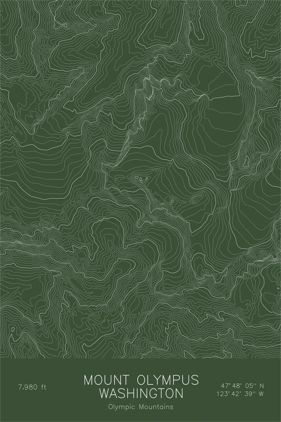
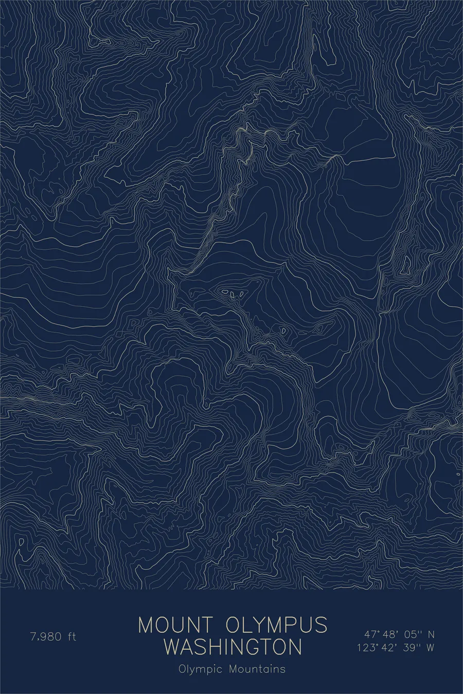
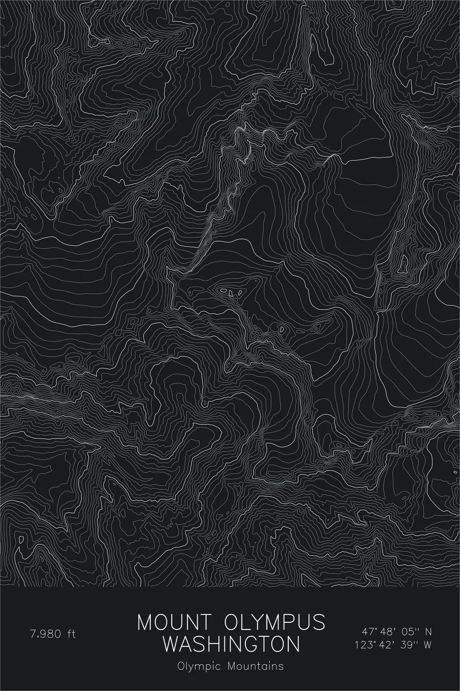
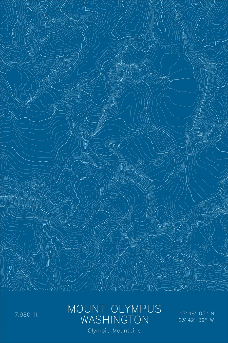
A pen-plotted topographic map of Mount Olympus in the Olympic Mountains, Washington, drawn from real elevation contour data.
The wettest spot in the contiguous US and highest peak in the Olympic Range. 7,980 feet above sea level.
$54
Ink & paper: Navy
Size: 12×18"
+Personalize this map
+ Details
- 12 × 18 inches
- Drawn on 98 lb (160 gsm) archival cotton paper
- Precision technical pens and archival inks
- Signed and dated on the back
- Ships flat, protected, ready to frame
Each map begins with elevation data and is drawn by a pen plotter in our Vermont studio. Mechanical precision, plus the texture and small imperfections of real ink on paper.
Off the screen
In real rooms


+ About this map
Mount Olympus sits deep in the heart of the Olympic Peninsula, a 7,980-foot peak that receives more precipitation than almost anywhere else in the contiguous United States. The moisture feeds a network of glaciers that cling to the upper mountain despite its relatively modest elevation. Reaching the summit requires a long approach through old-growth rainforest, river crossings, and glacier travel, keeping it far quieter than the Cascades volcanoes visible across Puget Sound.
This map reveals the complex drainage pattern that defines the Olympic massif. Ridgelines radiate outward from the summit in multiple directions, each separating deep, glacier-carved valleys. The Blue Glacier on the northeast side is the most prominent feature, its contour lines tracing a broad tongue of ice that descends from the summit plateau. The surrounding terrain is steep and deeply incised, with the Hoh, Queets, and Quinault river valleys fanning out toward the coast.
+ Map details
- Mount Olympus
- Washington
- United States
- Olympic Mountains
- Pacific Northwest
- 7,980 ft / 2,432 m
- 47.8013N 123.7108W
- Mountain topographic map
- Original pen plot, archival ink on cotton paper
- 8 × 12 in · 12 × 18 in · 18 × 24 in
- The wettest spot in the contiguous US and highest peak in the Olympic Range
More maps