California
Mount Shasta
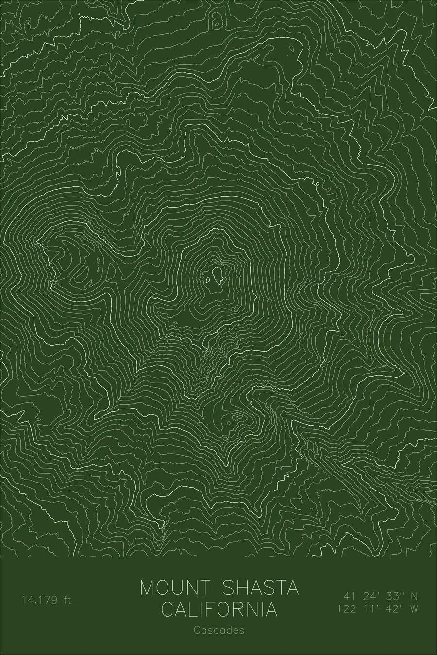
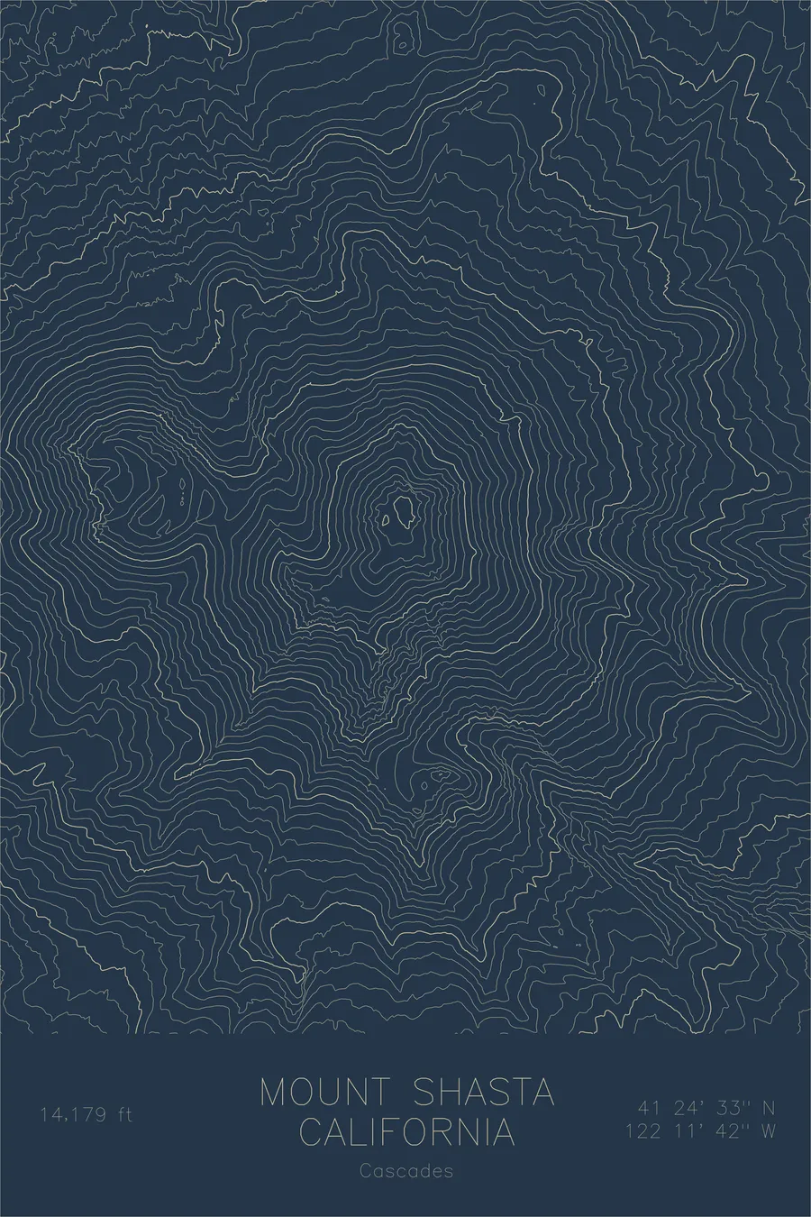
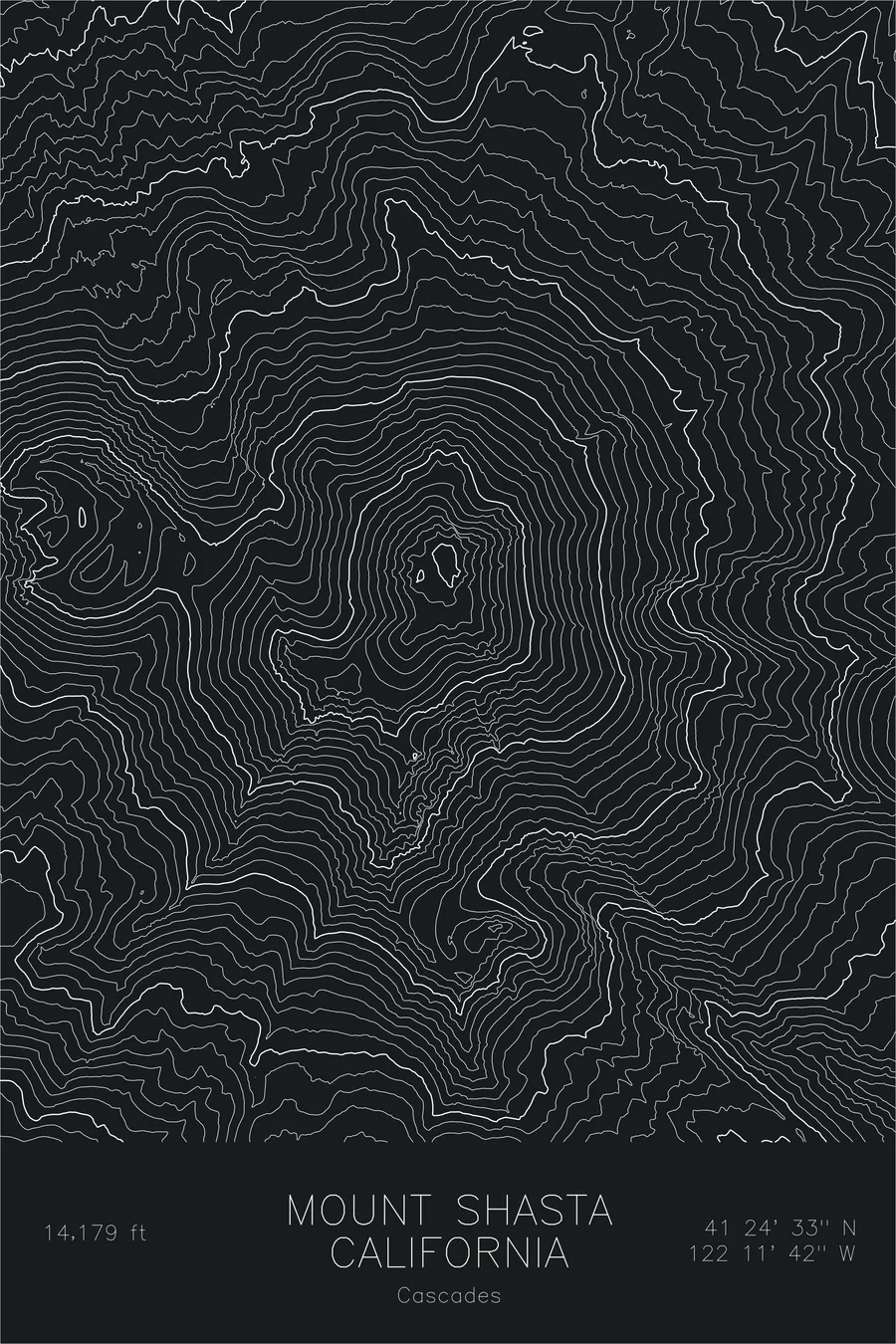
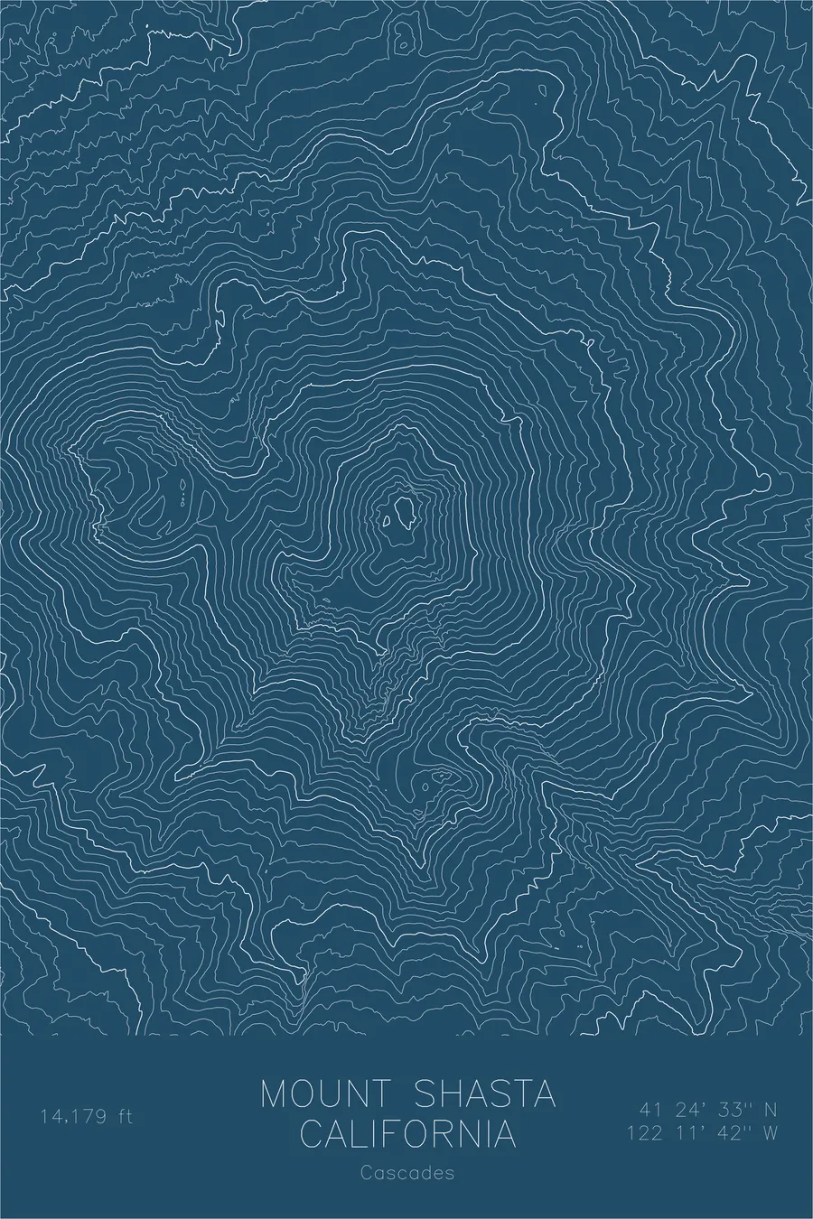
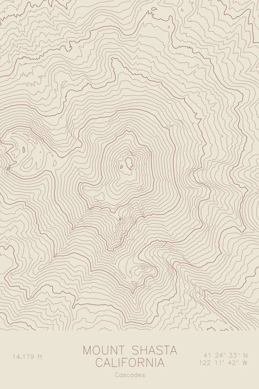
A pen-plotted topographic map of Mount Shasta in the Cascades, California, drawn from real elevation contour data.
The most voluminous stratovolcano in the Cascades: a double-coned giant with seven named glaciers. 14,179 feet above sea level.
$54
Ink & paper: Navy
Size: 12×18"
+Personalize this map
+ Details
- 12 × 18 inches
- Drawn on 98 lb (160 gsm) archival cotton paper
- Precision technical pens and archival inks
- Signed and dated on the back
- Ships flat, protected, ready to frame
Each map begins with elevation data and is drawn by a pen plotter in our Vermont studio. Mechanical precision, plus the texture and small imperfections of real ink on paper.
Off the screen
In real rooms


+ About this map
Mount Shasta stands 14,179 feet in Northern California, the most voluminous stratovolcano in the Cascade Range and one of the largest volcanoes in the world by sheer mass. It is a compound volcano, built from overlapping cones, the most prominent being the satellite peak Shastina on the western flank, itself a mountain-sized formation at over 12,000 feet. Seven named glaciers cling to the upper slopes, remnants of far larger ice fields that once covered the mountain.
This map reveals the double-coned structure that sets Shasta apart. The contour lines form two distinct concentric patterns, one around the main summit and one around Shastina, merging on the western slopes into a single enormous base. The glacial valleys of Whitney and Bolam glaciers cut deep notches into the north face, while the Hotlum Glacier on the northeast, the largest in California, shows as a broad depression in the otherwise tightly packed contours.
+ Map details
- Mount Shasta
- California
- United States
- Cascades
- Pacific Northwest
- 14,179 ft / 4,322 m
- 41.4092N 122.1949W
- Mountain topographic map
- Original pen plot, archival ink on cotton paper
- 8 × 12 in · 12 × 18 in · 18 × 24 in
- The most voluminous stratovolcano in the Cascades: a double-coned giant with seven named glaciers
More maps