

Colorado
Mount Shavano
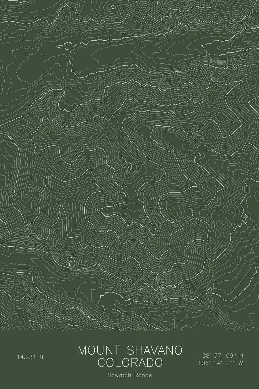
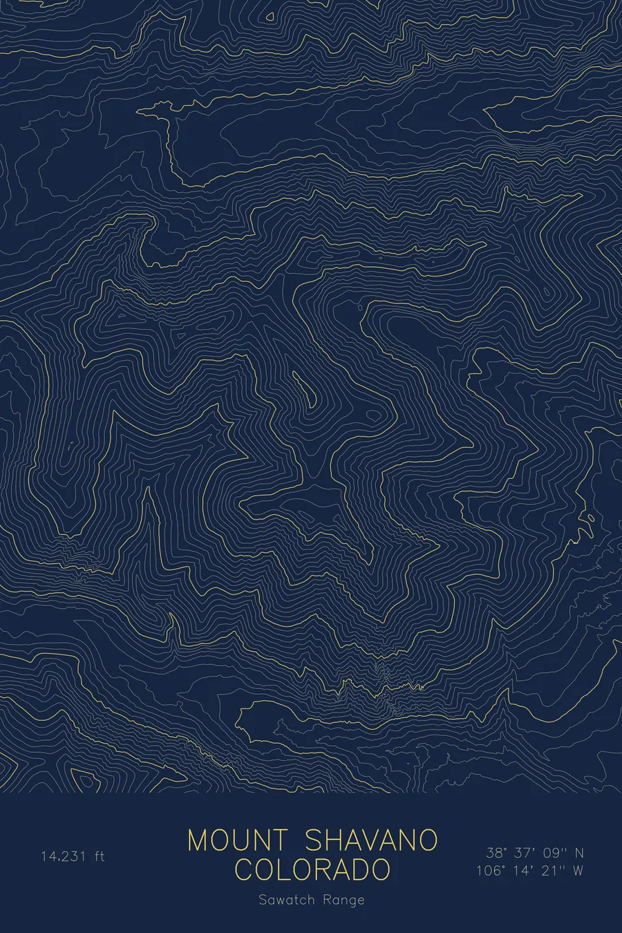
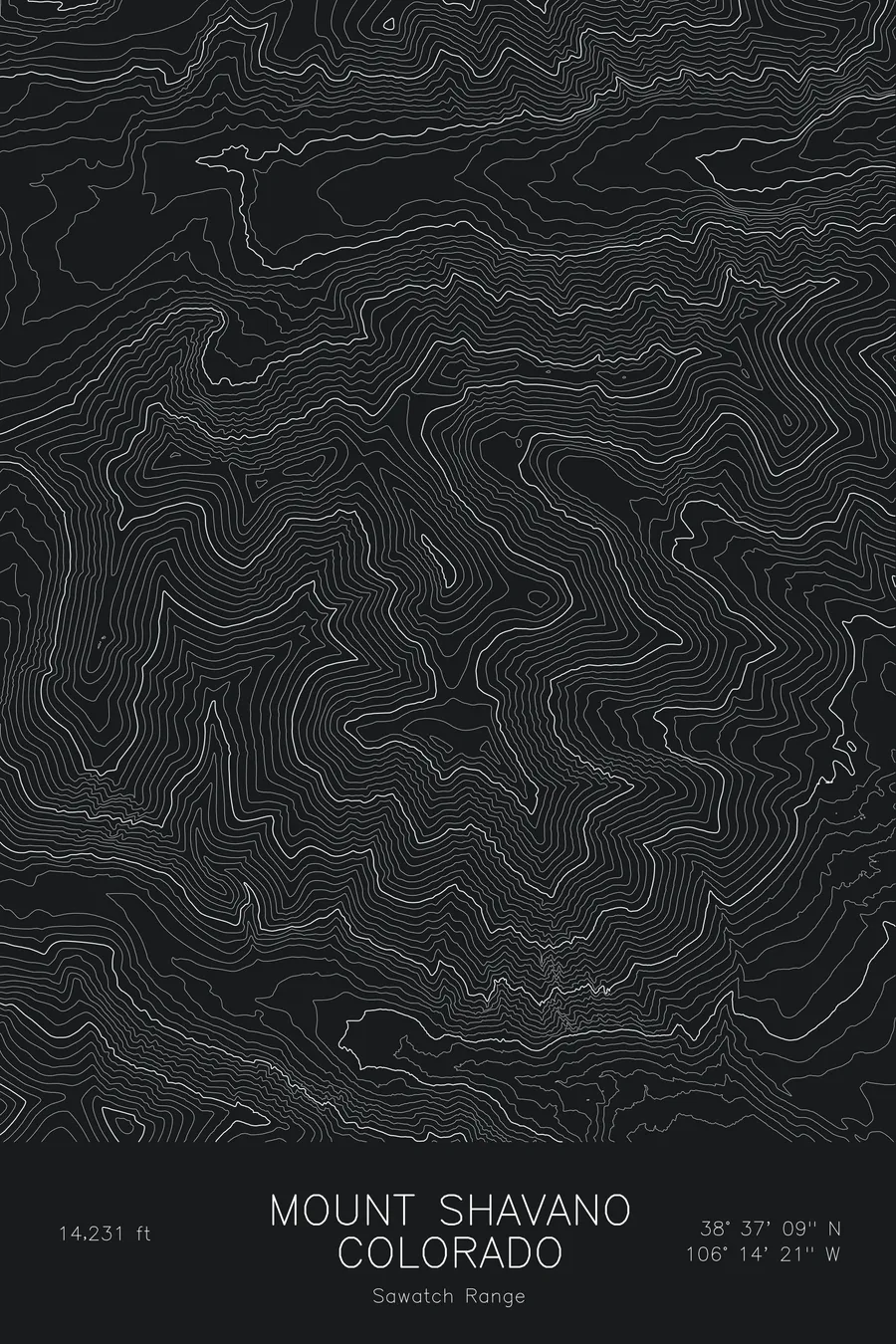
A pen-plotted topographic map of Mount Shavano in the Sawatch Range, Colorado, drawn from real elevation contour data.
Southernmost Sawatch 14er, famed for the Angel of Shavano snow formation. 14,231 feet above sea level.
$54
Ink & paper: Blue
Size: 12×18"
+Personalize this map
+ Details
- 12 × 18 inches
- Drawn on 98 lb (160 gsm) archival cotton paper
- Precision technical pens and archival inks
- Signed and dated on the back
- Ships flat, protected, ready to frame
Each map begins with elevation data and is drawn by a pen plotter in our Vermont studio. Mechanical precision, plus the texture and small imperfections of real ink on paper.
Off the screen
In real rooms


+ About this map
Mount Shavano rises to 14,231 feet at the southern end of Colorado’s Sawatch Range, the last fourteener in the chain before the range drops to the Arkansas River. It is best known for the Angel of Shavano, the snow-filled gullies on its east face that form a winged figure each spring and can be seen from Salida and much of the upper Arkansas Valley. Tabeguache Peak, its slightly lower twin, sits just to the northwest across a high connecting saddle.
This map traces the broad east face that carries the Angel. The contour lines run in long, even bands down toward the valley, interrupted by the shallow couloirs where the snow collects, while the ridge to Tabeguache runs off the northwest corner of the frame. The western side drops more sharply into the drainages behind the ridge. Within this frame the terrain covers more than 5,000 feet, one of the larger vertical spans among the Sawatch peaks, because the mountain stands at the very edge of the range with the valley floor close below.
+ Map details
- Mount Shavano
- Colorado
- United States
- Sawatch Range
- Sawatch Range
- 14,231 ft / 4,338 m
- 38.6192N 106.2393W
- Mountain topographic map
- Original pen plot, archival ink on cotton paper
- 8 × 12 in · 12 × 18 in · 18 × 24 in
- Southernmost Sawatch 14er, famed for the Angel of Shavano snow formation
More maps