Washington
Mount St. Helens
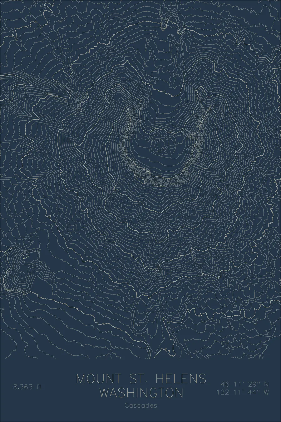
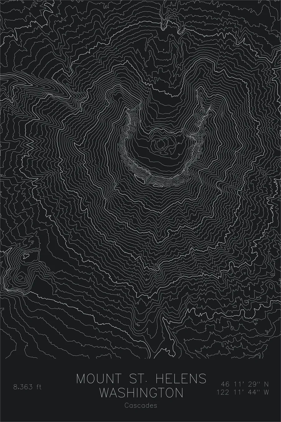
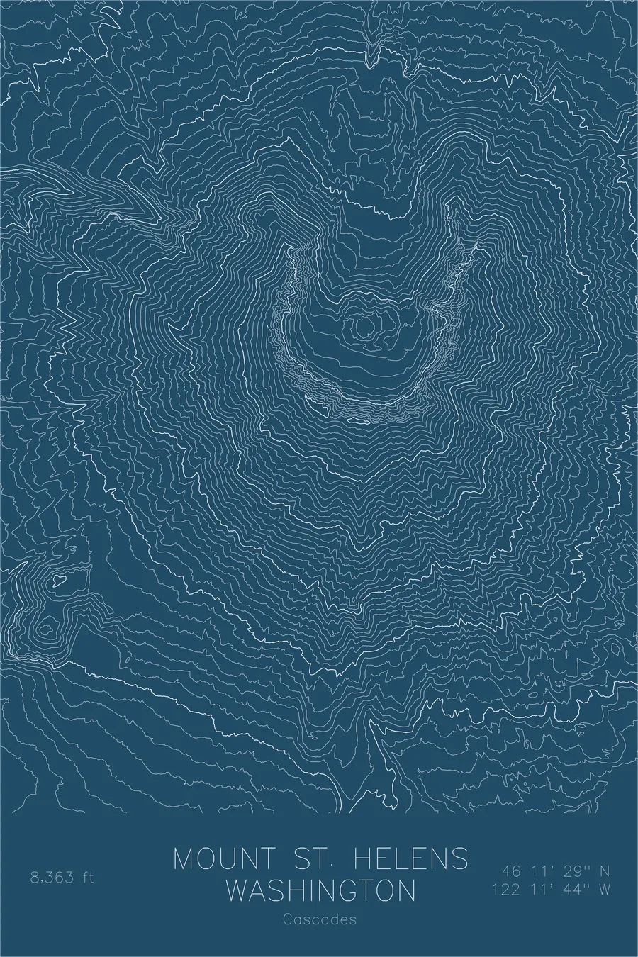
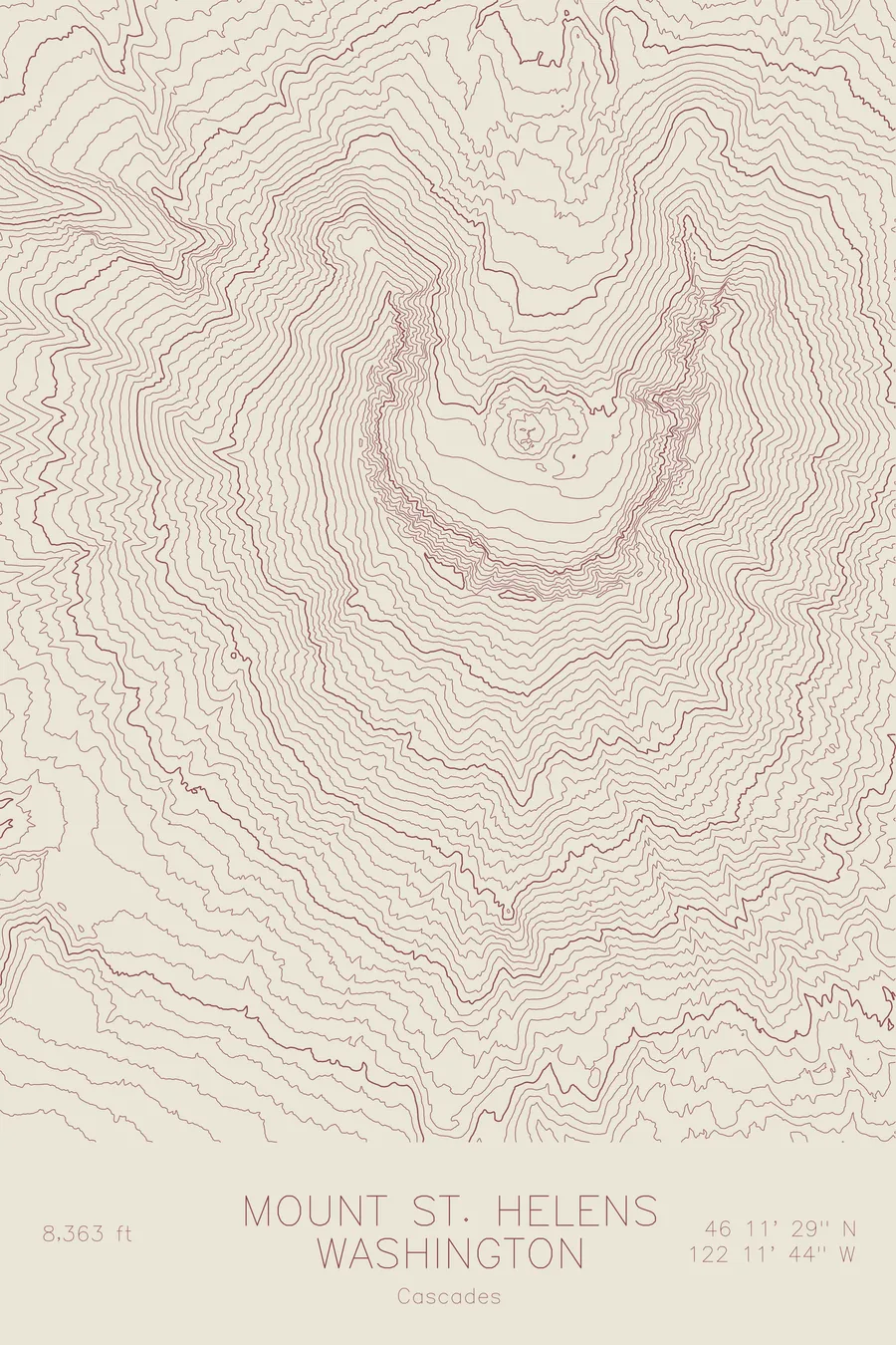
A pen-plotted topographic map of Mount St. Helens in the Cascades, Washington, drawn from real elevation contour data.
Site of the most destructive volcanic eruption in U.S. history. The 1980 blast removed 1,300 feet of summit.
$54
Ink & paper: Green
Size: 12×18"
+Personalize this map
+ Details
- 12 × 18 inches
- Drawn on 98 lb (160 gsm) archival cotton paper
- Precision technical pens and archival inks
- Signed and dated on the back
- Ships flat, protected, ready to frame
Each map begins with elevation data and is drawn by a pen plotter in our Vermont studio. Mechanical precision, plus the texture and small imperfections of real ink on paper.
Off the screen
In real rooms


+ About this map
Mount St. Helens stands at 8,363 feet in the southern Washington Cascades, over 1,300 feet shorter than it was before May 18, 1980. The lateral blast that morning obliterated the north face of the mountain, triggered the largest landslide in recorded history, and left a horseshoe-shaped crater a mile wide. The eruption reduced a symmetrical cone to a broken amphitheater, and the topography still tells that story with extraordinary clarity.
This map captures the mountain’s most distinctive feature: the massive breach in the crater rim that opens to the north. The contour lines form a near-complete circle on the south, east, and west, the remnant of the old cone, then abruptly vanish where the north face once stood. Inside the crater, the new lava dome appears as a tight cluster of concentric rings, a mountain slowly rebuilding itself within the shell of its predecessor.
+ Map details
- Mount St. Helens
- Washington
- United States
- Cascades
- Pacific Northwest
- 8,363 ft / 2,549 m
- 46.1914N 122.1956W
- Mountain topographic map
- Original pen plot, archival ink on cotton paper
- 8 × 12 in · 12 × 18 in · 18 × 24 in
- Site of the most destructive volcanic eruption in U.S. history. The 1980 blast removed 1,300 feet of summit
More maps