
Morocco
Mount Toubkal
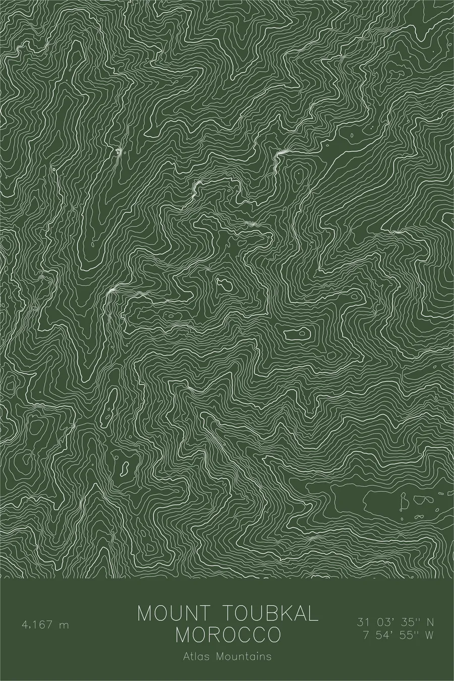
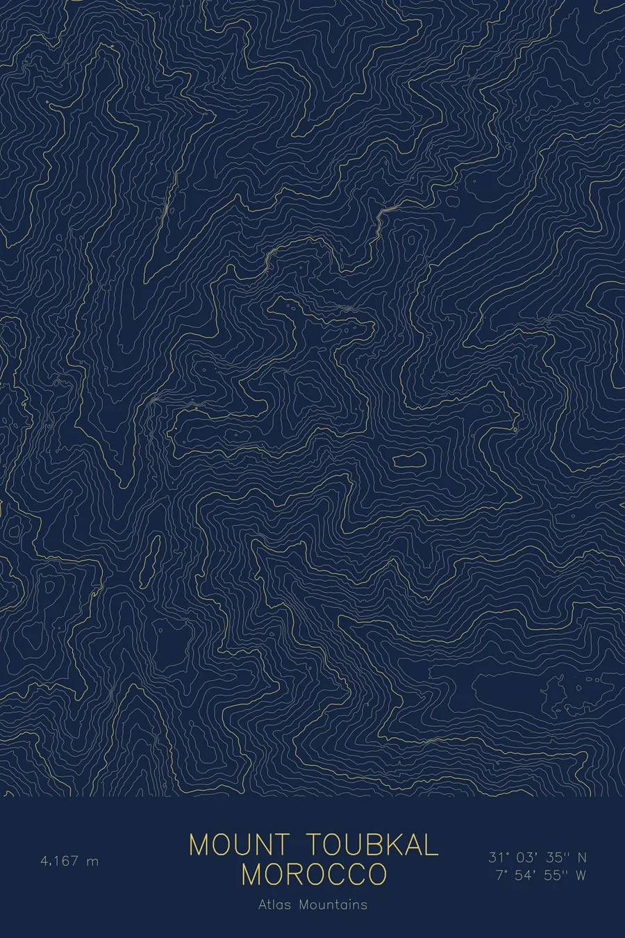
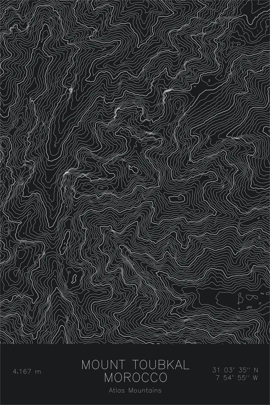
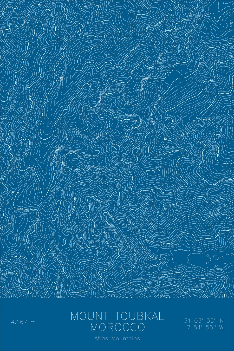
A pen-plotted topographic map of Mount Toubkal in the Atlas Mountains, Morocco, drawn from real elevation contour data.
Highest peak in North Africa. 13,671 feet above sea level.
$54
Ink & paper: Cream
Size: 12×18"
+Personalize this map
+ Details
- 12 × 18 inches
- Drawn on 98 lb (160 gsm) archival cotton paper
- Precision technical pens and archival inks
- Signed and dated on the back
- Ships flat, protected, ready to frame
Each map begins with elevation data and is drawn by a pen plotter in our Vermont studio. Mechanical precision, plus the texture and small imperfections of real ink on paper.
Off the screen
In real rooms


+ About this map
Mount Toubkal rises 13,671 feet in the High Atlas of Morocco, the highest peak in North Africa. It stands about forty miles south of Marrakesh, close enough that its snow-covered ridge is visible from the city in winter. The mountain anchors a national park of Berber villages, terraced fields, and high stone valleys, and the trek to its summit from the village of Imlil is one of the classic ascents of the continent.
This map shows the rugged heart of the High Atlas. The contour lines crowd along the steep valley walls that funnel toward Toubkal, tracing the deep drainages that carry meltwater down toward the plains. The summit sits within a knot of high ridges and neighboring peaks rather than standing alone, and the lines record the sharp, dry, deeply cut character of the range: a desert-edge mountain landscape shaped more by water and frost than by ice.
+ Map details
- Mount Toubkal
- Morocco
- Atlas Mountains
- Atlas Mountains
- 13,671 ft / 4,167 m
- 31.0597N 7.9153W
- Mountain topographic map
- Original pen plot, archival ink on cotton paper
- 8 × 12 in · 12 × 18 in · 18 × 24 in
- Highest peak in North Africa
More maps