New Hampshire
Mount Washington
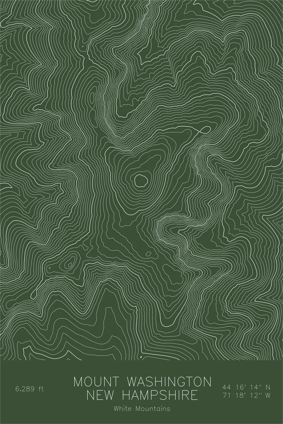
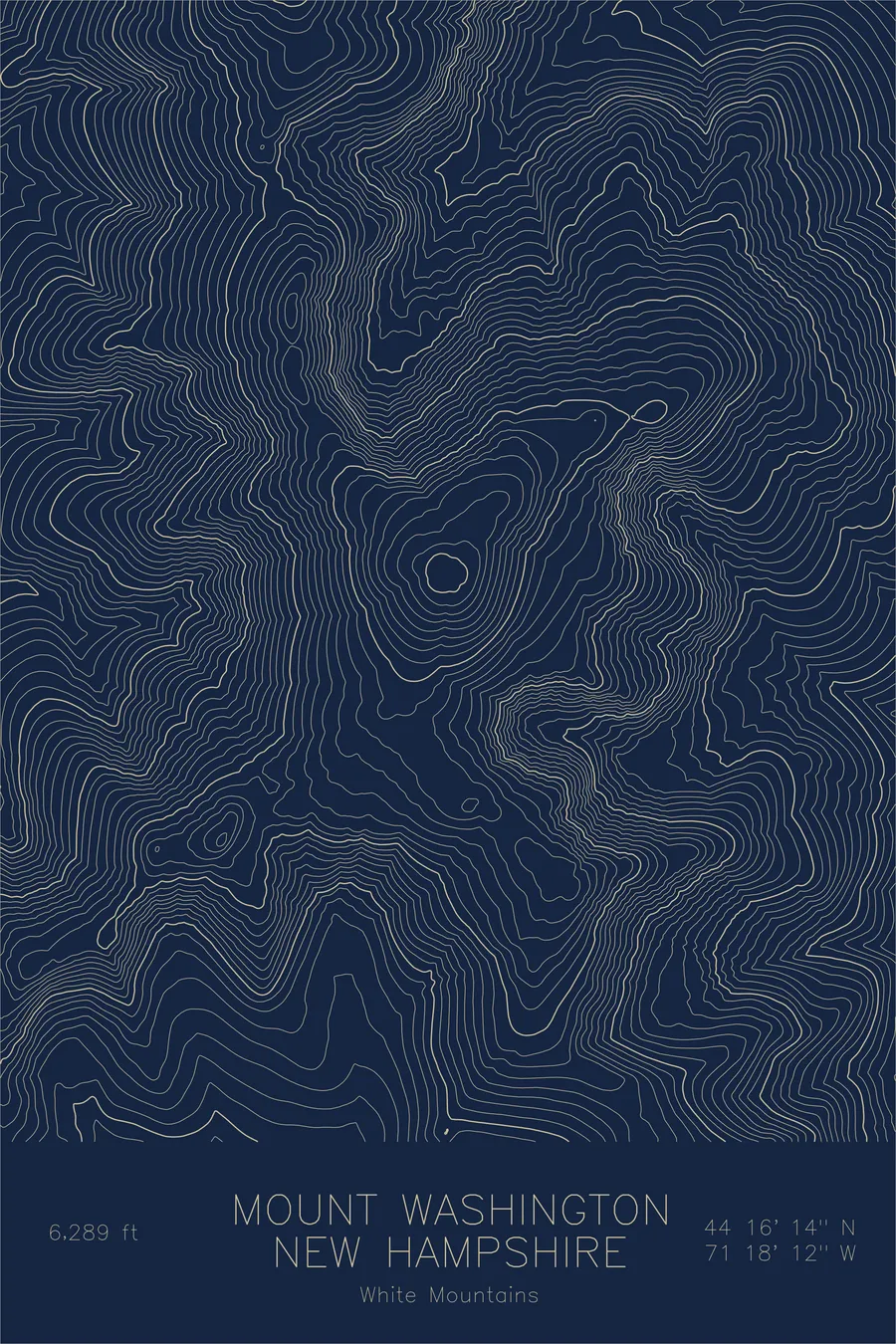
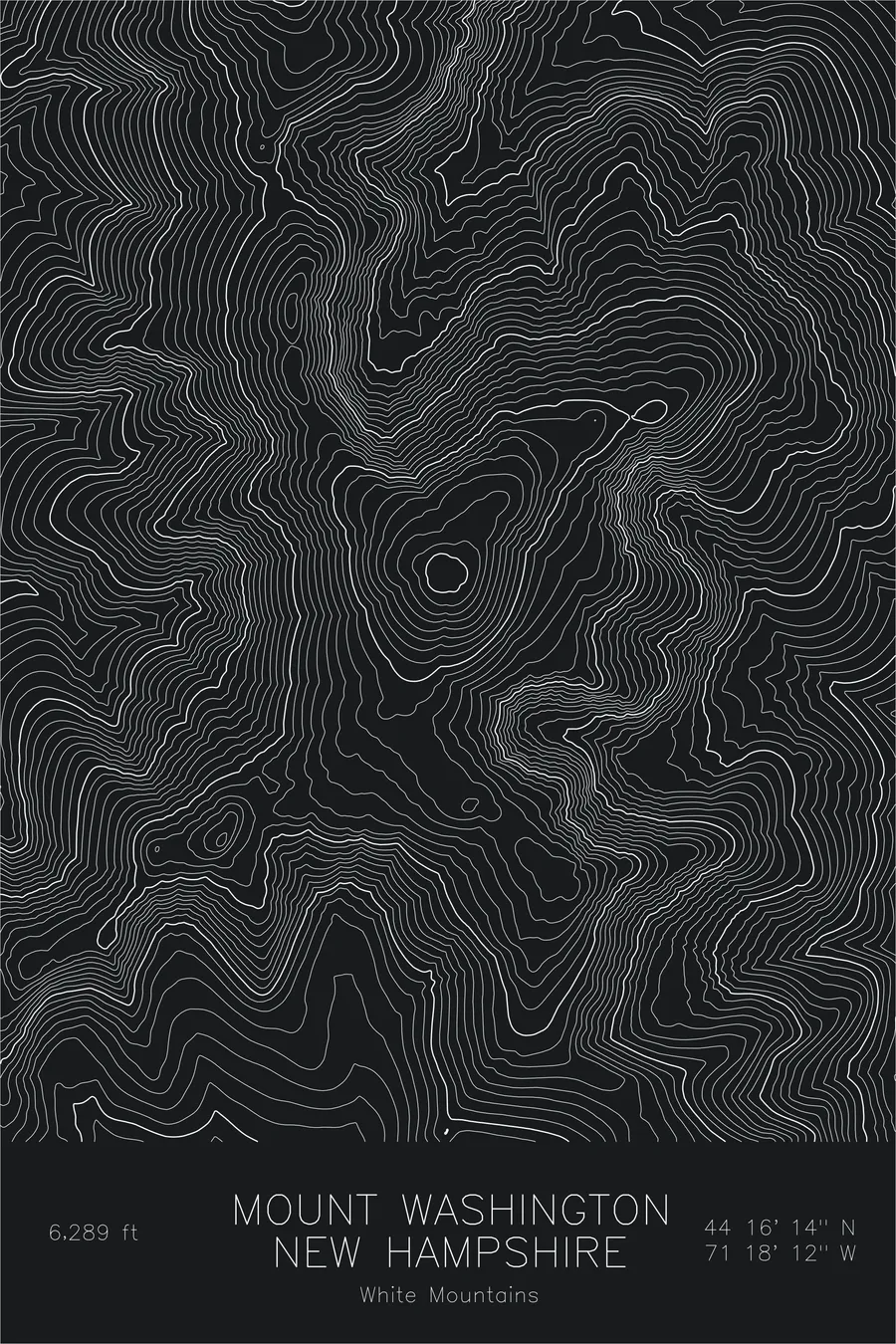
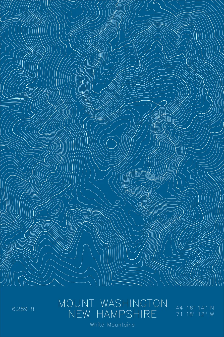
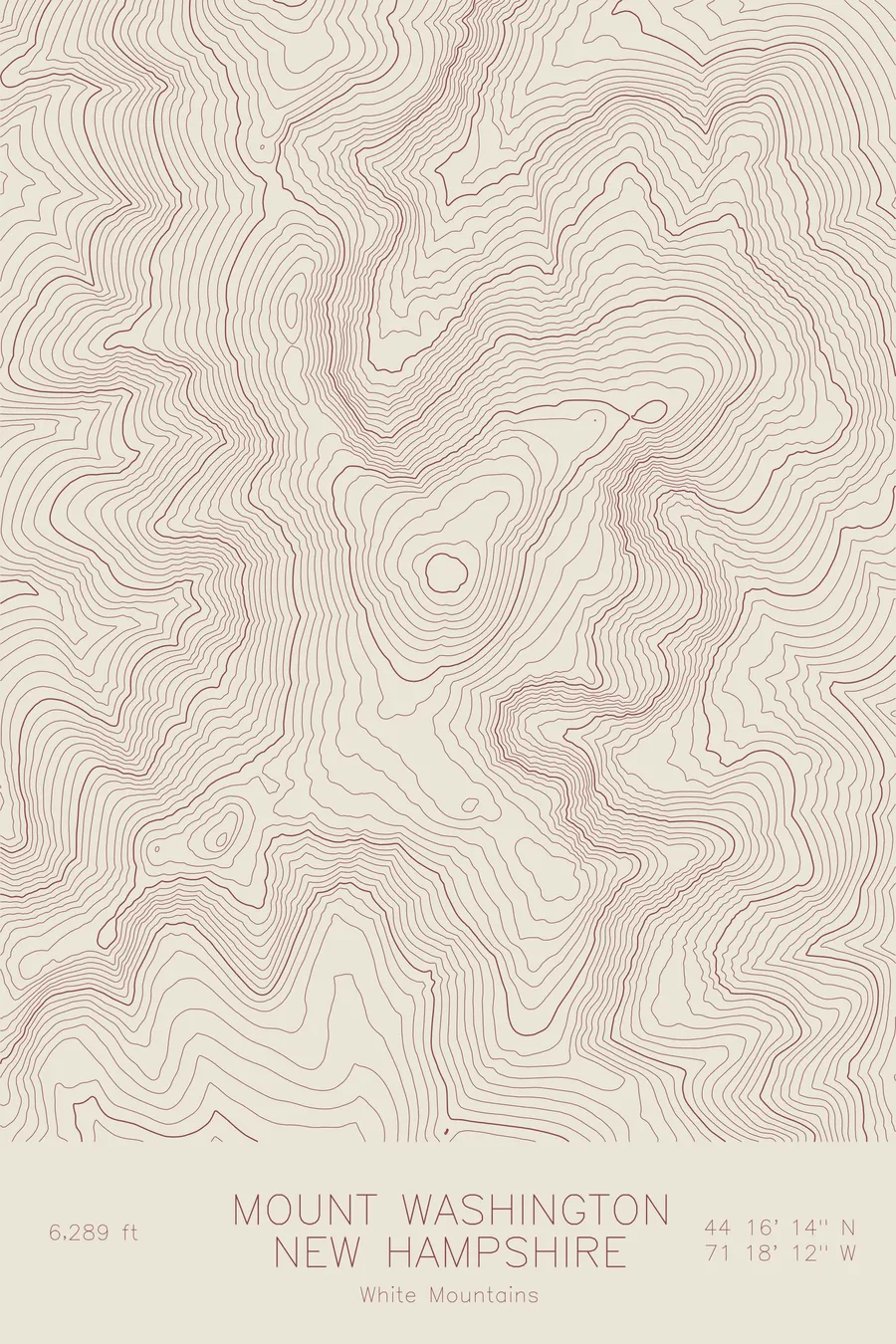
A pen-plotted topographic map of Mount Washington in the Presidential Range, New Hampshire, drawn from real elevation contour data.
Home of the 231 mph wind, and of an observatory chained to the summit for good reason.
$54
Ink & paper: Blue
Size: 12×18"
+Personalize this map
+ Details
- 12 × 18 inches
- Drawn on 98 lb (160 gsm) archival cotton paper
- Precision technical pens and archival inks
- Signed and dated on the back
- Ships flat, protected, ready to frame
Each map begins with elevation data and is drawn by a pen plotter in our Vermont studio. Mechanical precision, plus the texture and small imperfections of real ink on paper.
Off the screen
In real rooms


+ About this map
They chained the observatory to the mountain, which tells you most of what you need to know about Mount Washington. In 1934 the summit weather station measured a wind gust of 231 miles per hour, a world record that stood for sixty-two years and is still the fastest wind ever observed outside a tropical cyclone. The mountain itself is 6,288 feet tall, modest by western standards. But the Presidential Range funnels three storm tracks into one collision zone, and at some point somebody looked at this hill in New Hampshire and concluded, correctly, that the building should be bolted down.
This map reveals the mountain’s true topographic character: the steep headwalls of Tuckerman and Huntington Ravines, the long ridgelines connecting the Presidential peaks, and the network of glacial cirques carved into the eastern face. The Great Gulf, the largest of these cirques, opens to the north between Washington and the northern Presidentials. The contour lines tell a story of ice age forces that shaped one of the most dramatic alpine landscapes east of the Rockies.
+ Map details
- Mount Washington
- New Hampshire
- United States
- Presidential Range
- Northeast
- 6,288 ft / 1,917 m
- 44.2706N 71.3033W
- Mountain topographic map
- Original pen plot, archival ink on cotton paper
- 8 × 12 in · 12 × 18 in · 18 × 24 in
- Highest peak in the northeastern United States, home of the world's worst weather
More maps