Oregon
Mt. Bachelor
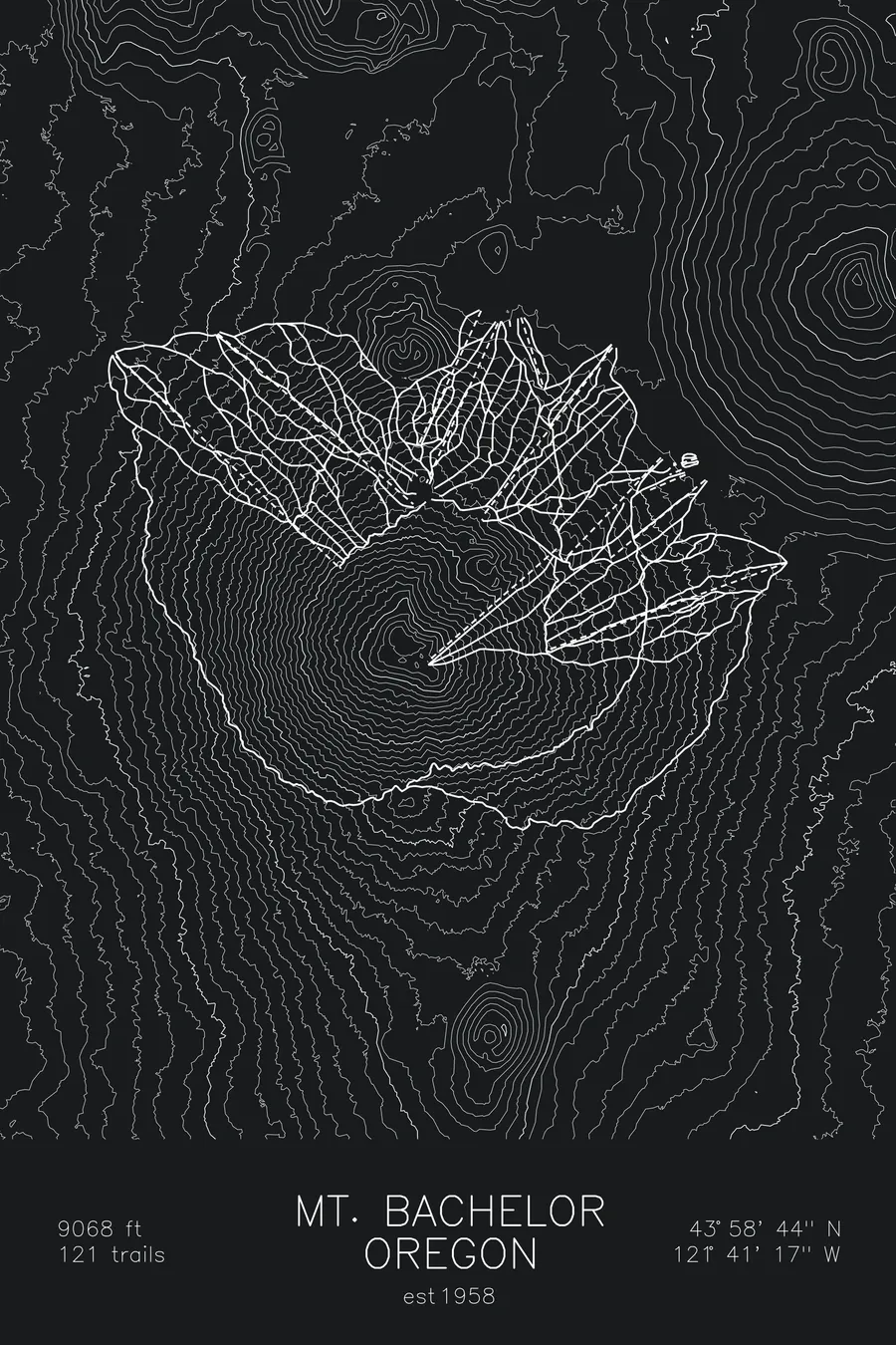
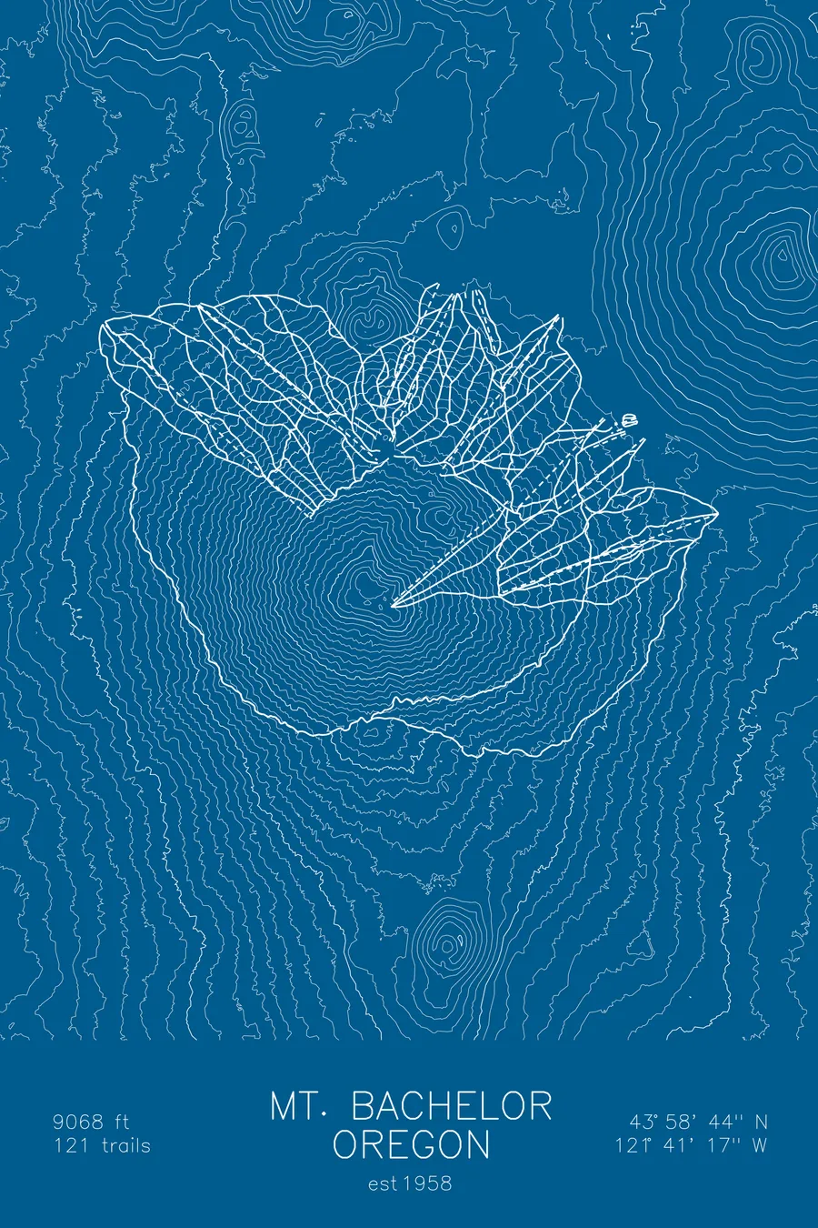
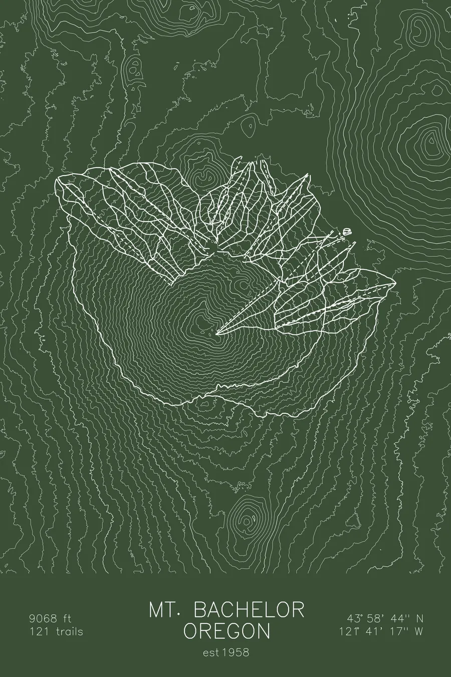
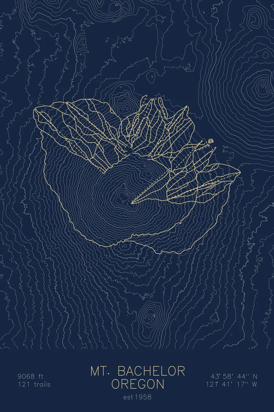
A topographic ski map of Mt. Bachelor, Oregon, with the resort's runs and lifts drawn over real terrain in a minimalist contour-line design.
Est. 1958. 121 trails. 9,068 feet above sea level.
$63
Ink & paper: Arctic White
Size: 12×18"
+Personalize this map
+ Details
- 12 × 18 inches
- Drawn on 98 lb (160 gsm) archival cotton paper
- Precision technical pens and archival inks
- Signed and dated on the back
- Ships flat, protected, ready to frame
Each map begins with elevation data and is drawn by a pen plotter in our Vermont studio. Mechanical precision, plus the texture and small imperfections of real ink on paper.
Off the screen
In real rooms


+ About this map
Mt. Bachelor is a lone volcanic cone in the Oregon Cascades outside Bend, and skiing here since 1958 has been defined by its shape. Lifts reach the 9,068-foot summit, and from the top skiers can descend in nearly any direction around the entire cone, a full circle of fall lines few resorts can match.
Its 121 trails run through open bowls, wind-sculpted alpine terrain, and gullies formed by old lava flows, all covered by dry Cascade snow on the range’s eastern edge. The season regularly stretches into late May, one of the longest in the country. On this map, the contours show the volcano’s near-perfect symmetry.
+ Map details
- Mt. Bachelor
- Oregon
- United States
- Pacific Northwest
- 9,068 ft / 2,764 m
- 43.9789N 121.6881W
- Ski resort trail map
- Original pen plot, archival ink on cotton paper
- 8 × 12 in · 12 × 18 in · 18 × 24 in
- Est. 1958. 121 trails
More maps