
Oregon
Post Canyon
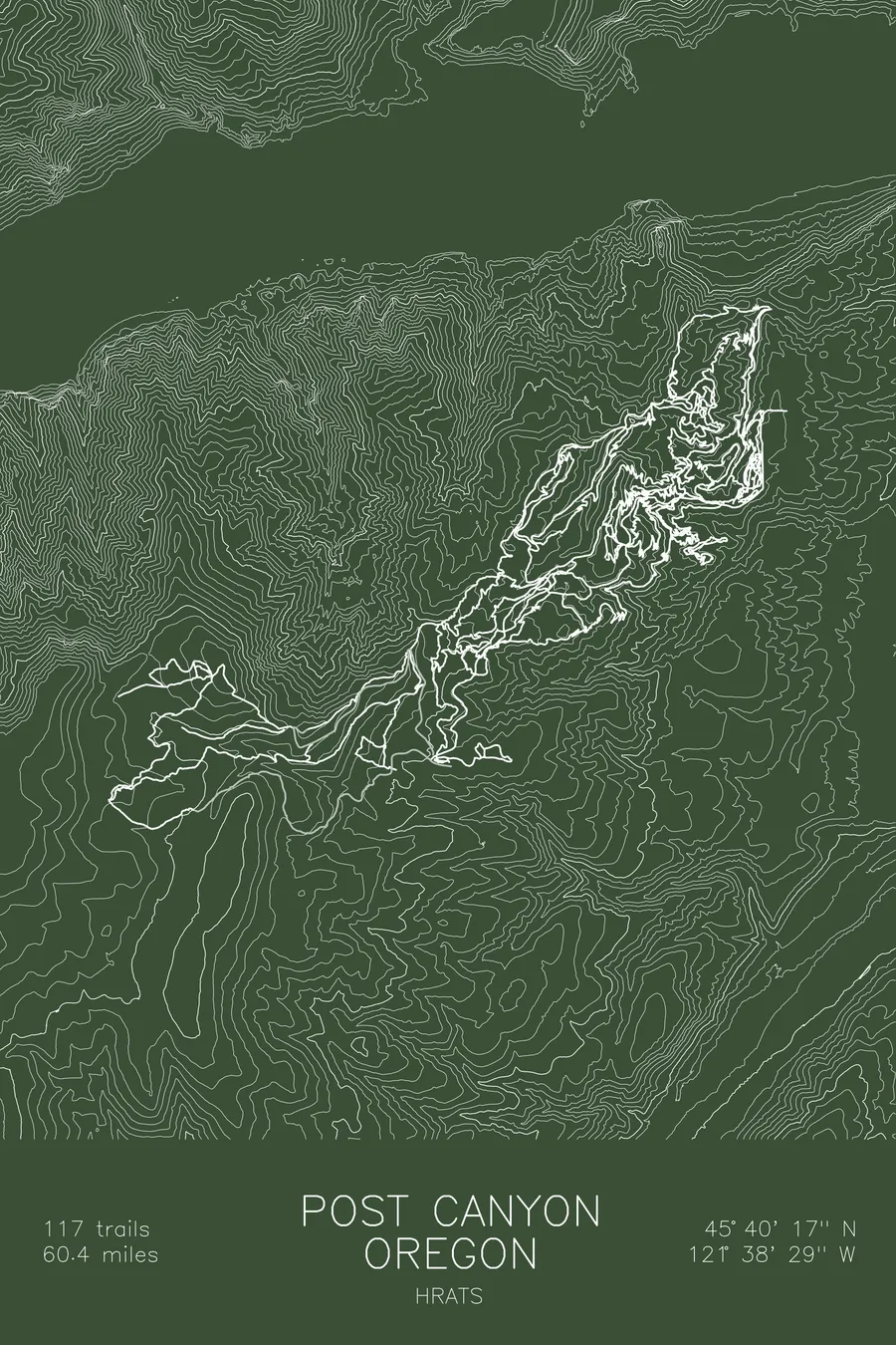
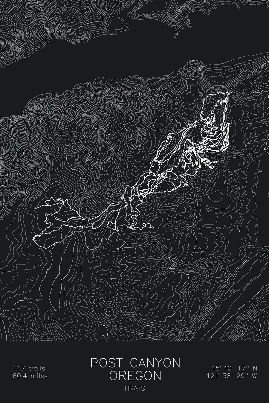
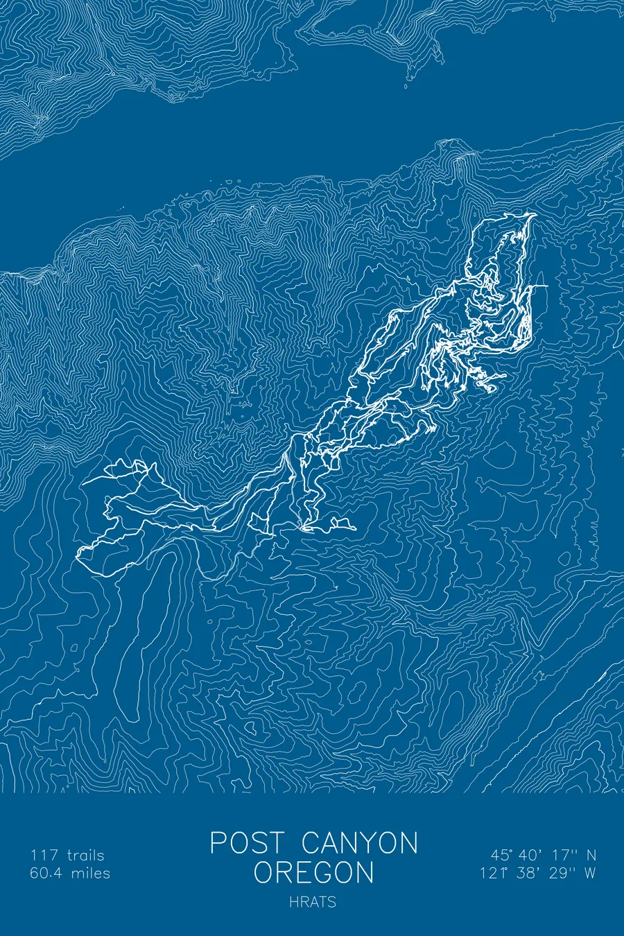
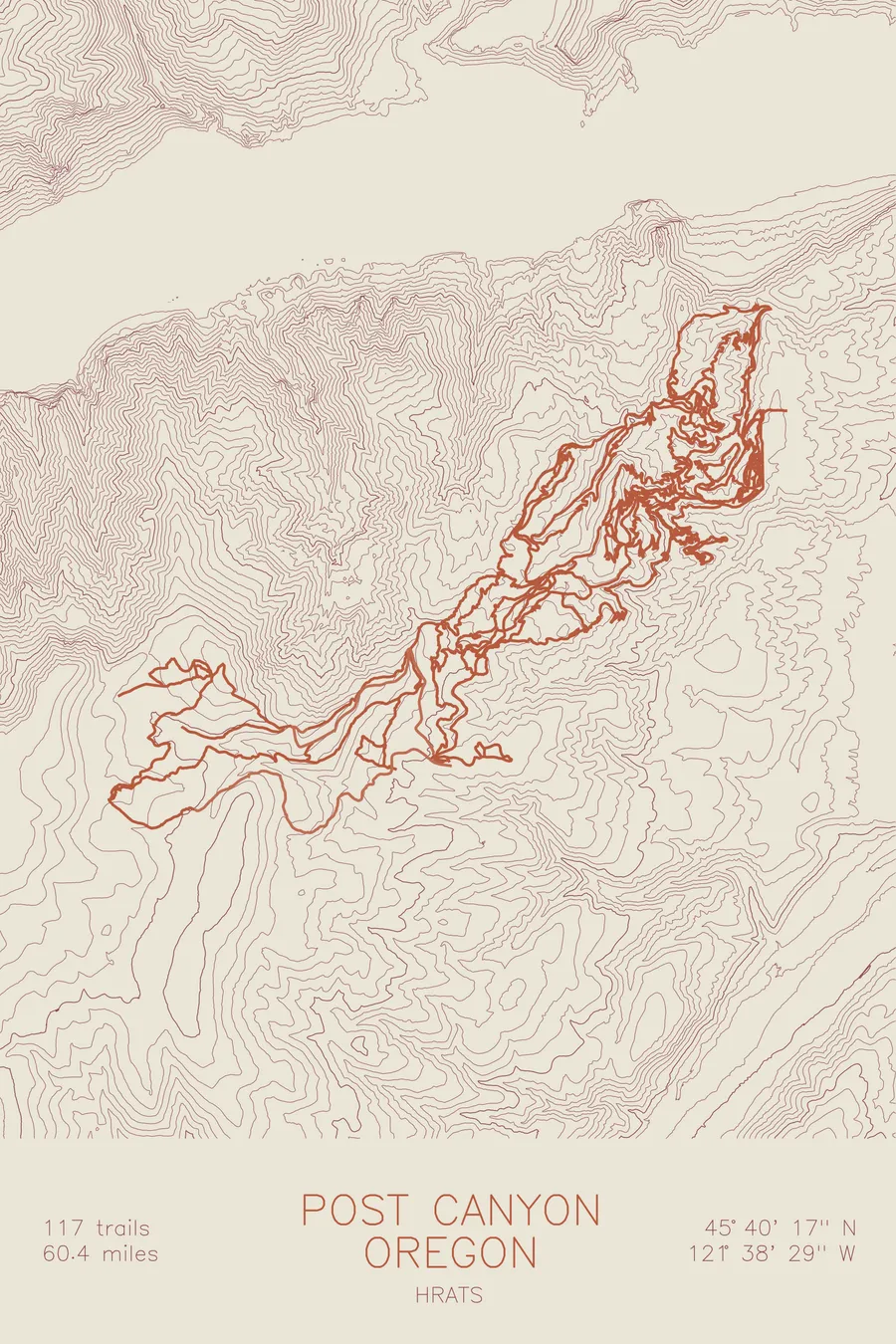
A mountain bike trail map of Post Canyon, Oregon, combining the trail network with the surrounding topography.
117 trails, 60.4 miles of singletrack.
$63
Ink & paper: Navy
Size: 12×18"
+Personalize this map
+ Details
- 12 × 18 inches
- Drawn on 98 lb (160 gsm) archival cotton paper
- Precision technical pens and archival inks
- Signed and dated on the back
- Ships flat, protected, ready to frame
Each map begins with elevation data and is drawn by a pen plotter in our Vermont studio. Mechanical precision, plus the texture and small imperfections of real ink on paper.
Off the screen
In real rooms


+ About this map
Post Canyon climbs into the hills west of Hood River, Oregon, where Columbia River Gorge forest meets one of the Northwest’s original freeride zones. From the Family Man staging area the network fans uphill into 117 trails and 60.4 miles of singletrack: wooden features, jump trails like Dirt Surfer, and long, loose descents dropping back toward town through fir and oak.
The map traces the network up the contours from the canyon mouth to the high ridges. The contour lines show the terrain that makes the place work: sustained grades that hold a descent for a couple thousand feet, creek drainages splitting the hillside into distinct ribs, and trail lines stacked on each one. You can read the road spine climbing the middle and the singletrack falling away from it on both sides.
+ Map details
- Post Canyon
- Oregon
- United States
- Pacific Northwest
- 3,870 ft / 1,180 m
- 45.6714N 121.6414W
- Mountain bike trail map
- Original pen plot, archival ink on cotton paper
- 8 × 12 in · 12 × 18 in · 18 × 24 in
- 117 trails, 60.4 miles of singletrack
More maps