Colorado
Quandary Peak
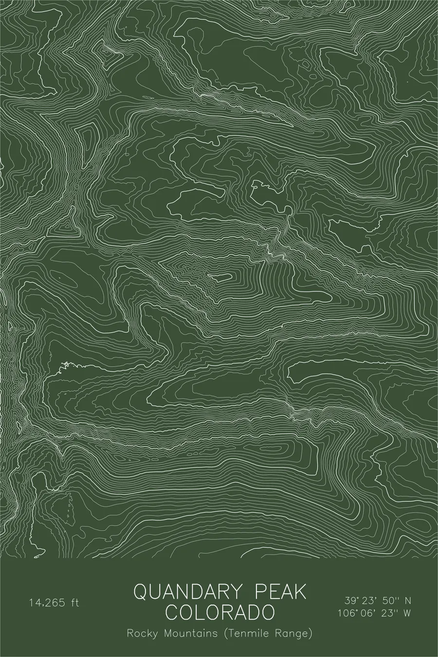
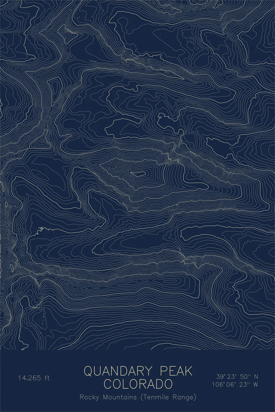
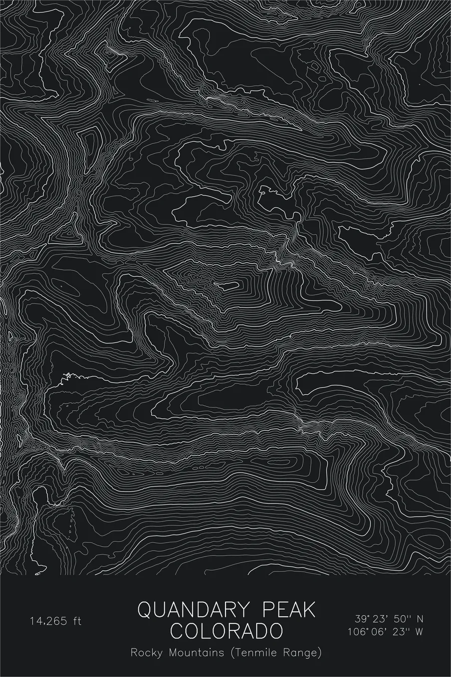
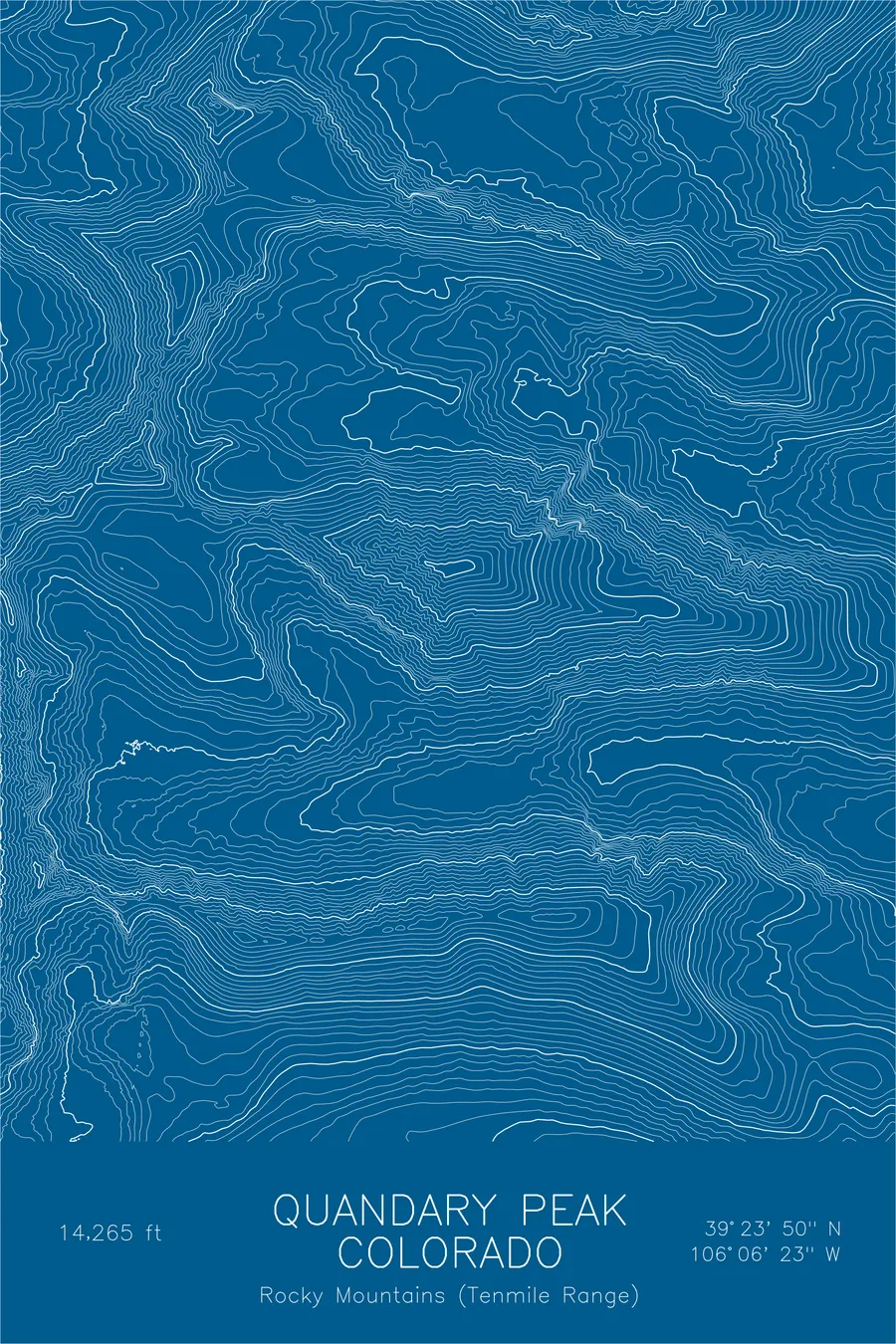
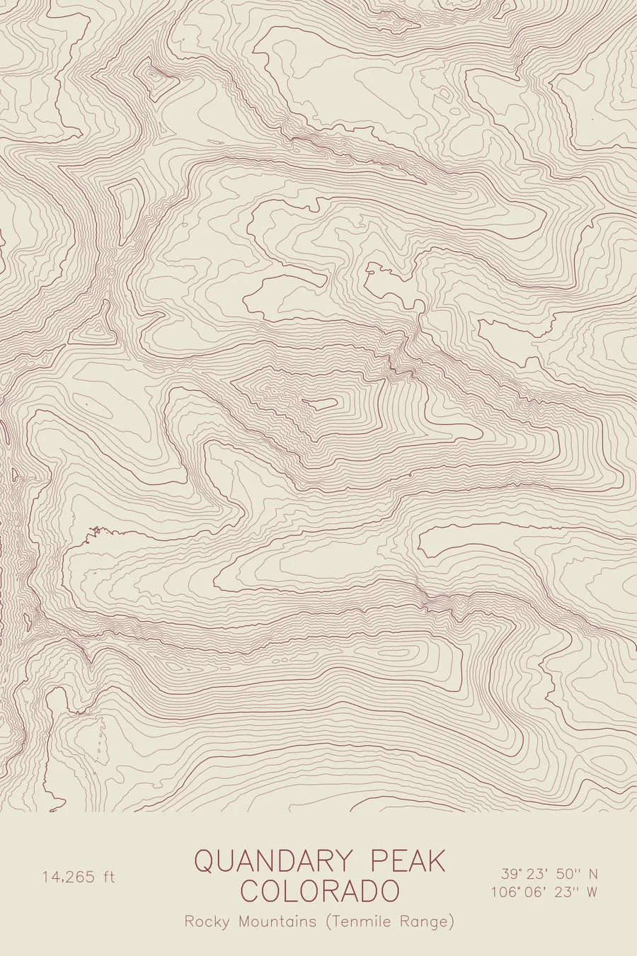
A pen-plotted topographic map of Quandary Peak in the Tenmile Range, Colorado, drawn from real elevation contour data.
Most climbed Colorado 14er, popular first fourteener. 14,265 feet above sea level.
$54
Ink & paper: Black
Size: 12×18"
+Personalize this map
+ Details
- 12 × 18 inches
- Drawn on 98 lb (160 gsm) archival cotton paper
- Precision technical pens and archival inks
- Signed and dated on the back
- Ships flat, protected, ready to frame
Each map begins with elevation data and is drawn by a pen plotter in our Vermont studio. Mechanical precision, plus the texture and small imperfections of real ink on paper.
Off the screen
In real rooms


+ About this map
Quandary Peak rises 14,265 feet in Colorado’s Tenmile Range, just south of Breckenridge. It is the most climbed fourteener in the state, and for many hikers it is the first: the east ridge offers a straightforward walk to a very high summit, with resident mountain goats often waiting near the top. The name reportedly comes from miners who were puzzled by an unfamiliar mineral found on its slopes.
This map shows why the mountain works as an introduction to Colorado’s high peaks. The contour lines along the east ridge stay evenly spaced, tracing the long, steady ramp of the standard route. The other aspects tell a different story. Lines compress on the north face above McCullough Gulch, where couloirs draw spring skiers and mountaineers, and the south side drops sharply toward Monte Cristo Creek and the Blue Lakes valley. One gentle ridge attached to an otherwise steep mountain, all of it legible in the spacing of the lines.
+ Map details
- Quandary Peak
- Colorado
- United States
- Rocky Mountains (Tenmile Range)
- Rocky Mountains
- 14,265 ft / 4,348 m
- 39.3972N 106.1064W
- Mountain topographic map
- Original pen plot, archival ink on cotton paper
- 8 × 12 in · 12 × 18 in · 18 × 24 in
- Most climbed Colorado 14er, popular first fourteener
More maps