Utah
Snowbird
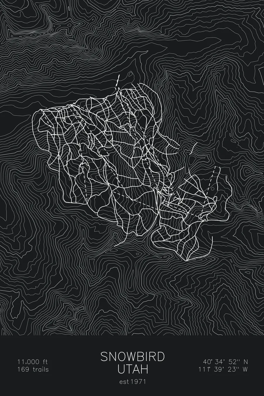
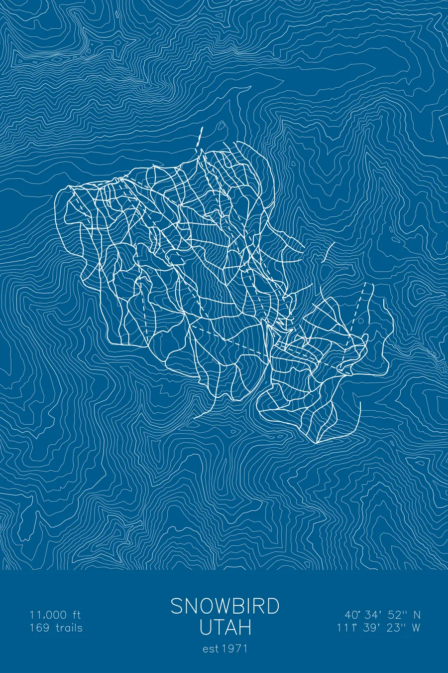
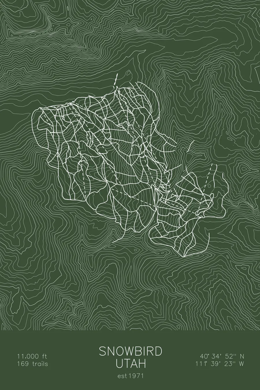
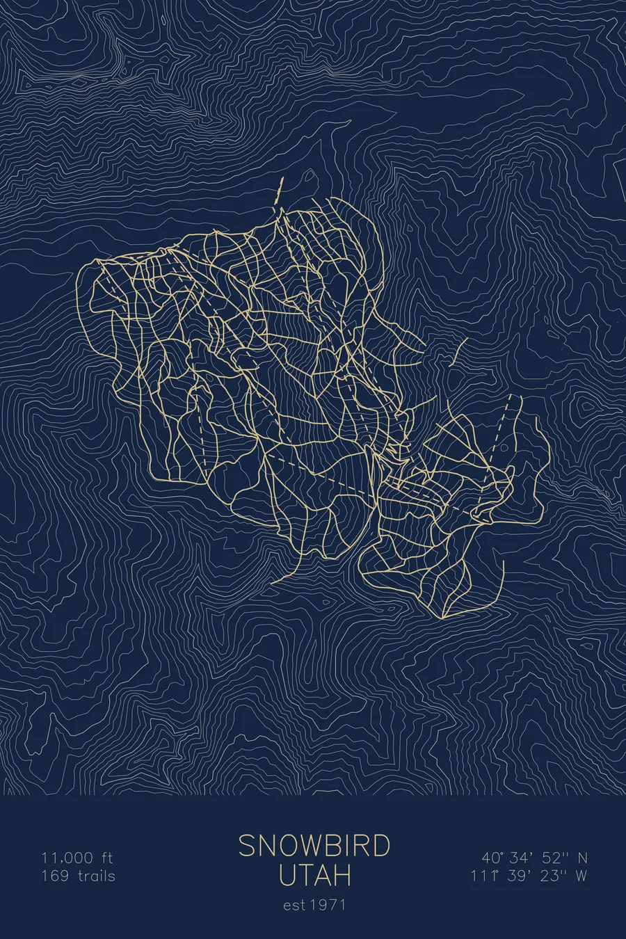
A topographic ski map of Snowbird, Utah, with the resort's runs and lifts drawn over real terrain in a minimalist contour-line design.
Est. 1971. 169 trails. 11,000 feet above sea level.
$63
Ink & paper: Arctic White
Size: 12×18"
+Personalize this map
+ Details
- 12 × 18 inches
- Drawn on 98 lb (160 gsm) archival cotton paper
- Precision technical pens and archival inks
- Signed and dated on the back
- Ships flat, protected, ready to frame
Each map begins with elevation data and is drawn by a pen plotter in our Vermont studio. Mechanical precision, plus the texture and small imperfections of real ink on paper.
Off the screen
In real rooms


+ About this map
Snowbird sits in Utah’s Little Cottonwood Canyon, sharing the same storm track that buries neighboring Alta in over 500 inches of light, dry snow each year. Its terrain is famously serious: the Cirque headwall drops a ring of chutes and cliff bands straight off the tram line, while Mineral Basin opens a broad, sunny bowl on the back side of Hidden Peak. With more than 3,000 feet of continuous vertical served by the aerial tram, it’s one of the premier expert ski areas in North America.
Opened in 1971, Snowbird pairs that terrain with a long season that often stretches deep into spring. The contour map shows the sheer granite walls of Little Cottonwood Canyon and the tight, folded terrain that makes the place what it is.
+ Map details
- Snowbird
- Utah
- United States
- Rocky Mountains
- 11,000 ft / 3,353 m
- 40.5811N 111.6564W
- Ski resort trail map
- Original pen plot, archival ink on cotton paper
- 8 × 12 in · 12 × 18 in · 18 × 24 in
- Est. 1971. 169 trails
More maps