

Colorado
Snowmass Mountain
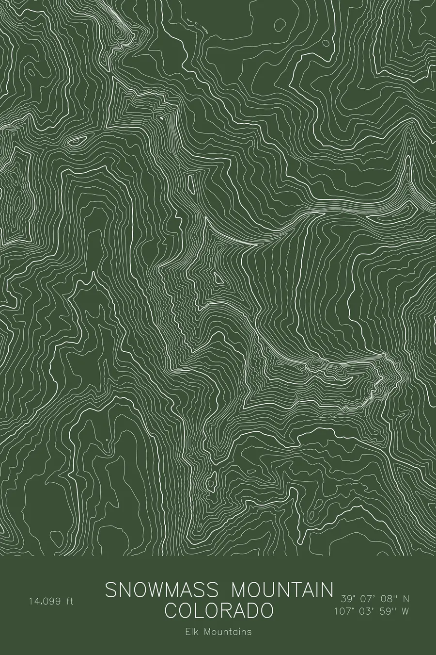
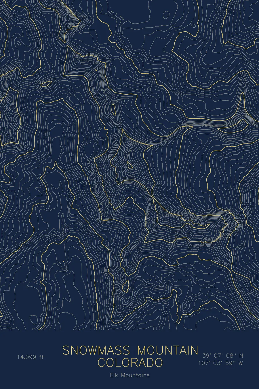
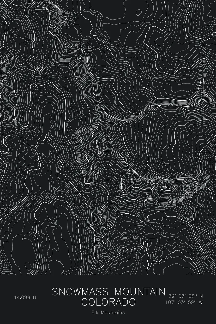
A pen-plotted topographic map of Snowmass Mountain in the Elk Mountains, Colorado, drawn from real elevation contour data.
Named for its great permanent snowfield above Snowmass Lake. 14,099 feet above sea level.
$54
Ink & paper: Blue
Size: 12×18"
+Personalize this map
+ Details
- 12 × 18 inches
- Drawn on 98 lb (160 gsm) archival cotton paper
- Precision technical pens and archival inks
- Signed and dated on the back
- Ships flat, protected, ready to frame
Each map begins with elevation data and is drawn by a pen plotter in our Vermont studio. Mechanical precision, plus the texture and small imperfections of real ink on paper.
Off the screen
In real rooms


+ About this map
Snowmass Mountain rises to 14,099 feet in the Elk Mountains of Colorado, at the head of Snowmass Creek in the Maroon Bells-Snowmass Wilderness. It takes its name from the great snowfield that lingers on its east face above Snowmass Lake through most of the summer, a large permanent snowfield and the reason the mountain is climbed on snow well into July. The ski resort of the same name lies several miles to the east and is a different mountain entirely.
This map traces the basin that holds Snowmass Lake and the wall above it. The contour lines are tight along the east face where the snowfield lies, and along the sharp connecting ridge to Hagerman Peak to the southeast. The west side of the mountain drops toward the Crystal River drainage in steep, broken slopes. Within this frame the terrain covers about 3,400 feet, from the lake basin to the narrow summit ridge.
+ Map details
- Snowmass Mountain
- Colorado
- United States
- Elk Mountains
- Elk Mountains
- 14,099 ft / 4,297 m
- 39.1188N 107.0665W
- Mountain topographic map
- Original pen plot, archival ink on cotton paper
- 8 × 12 in · 12 × 18 in · 18 × 24 in
- Named for its great permanent snowfield above Snowmass Lake
More maps