Utah
Solitude
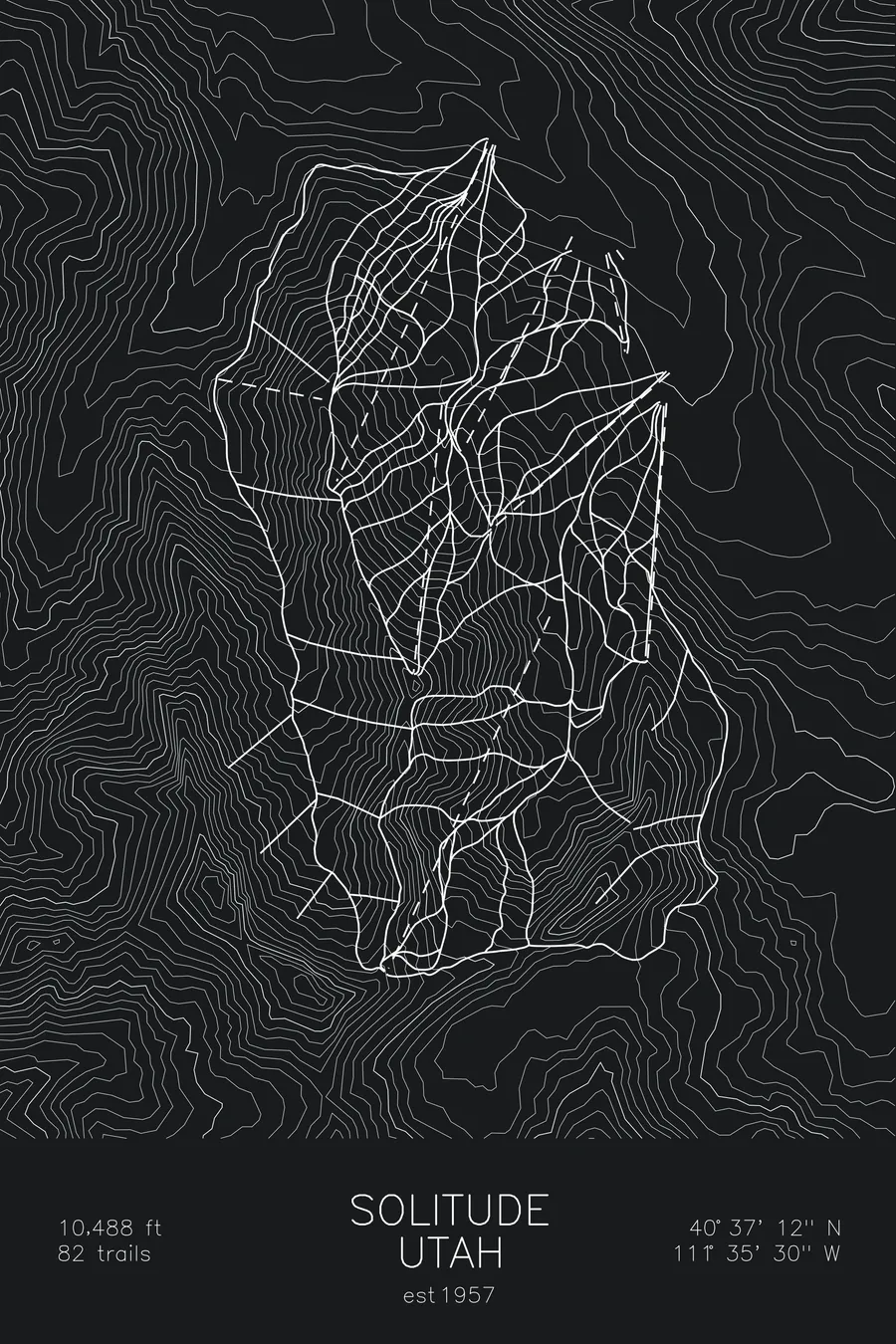
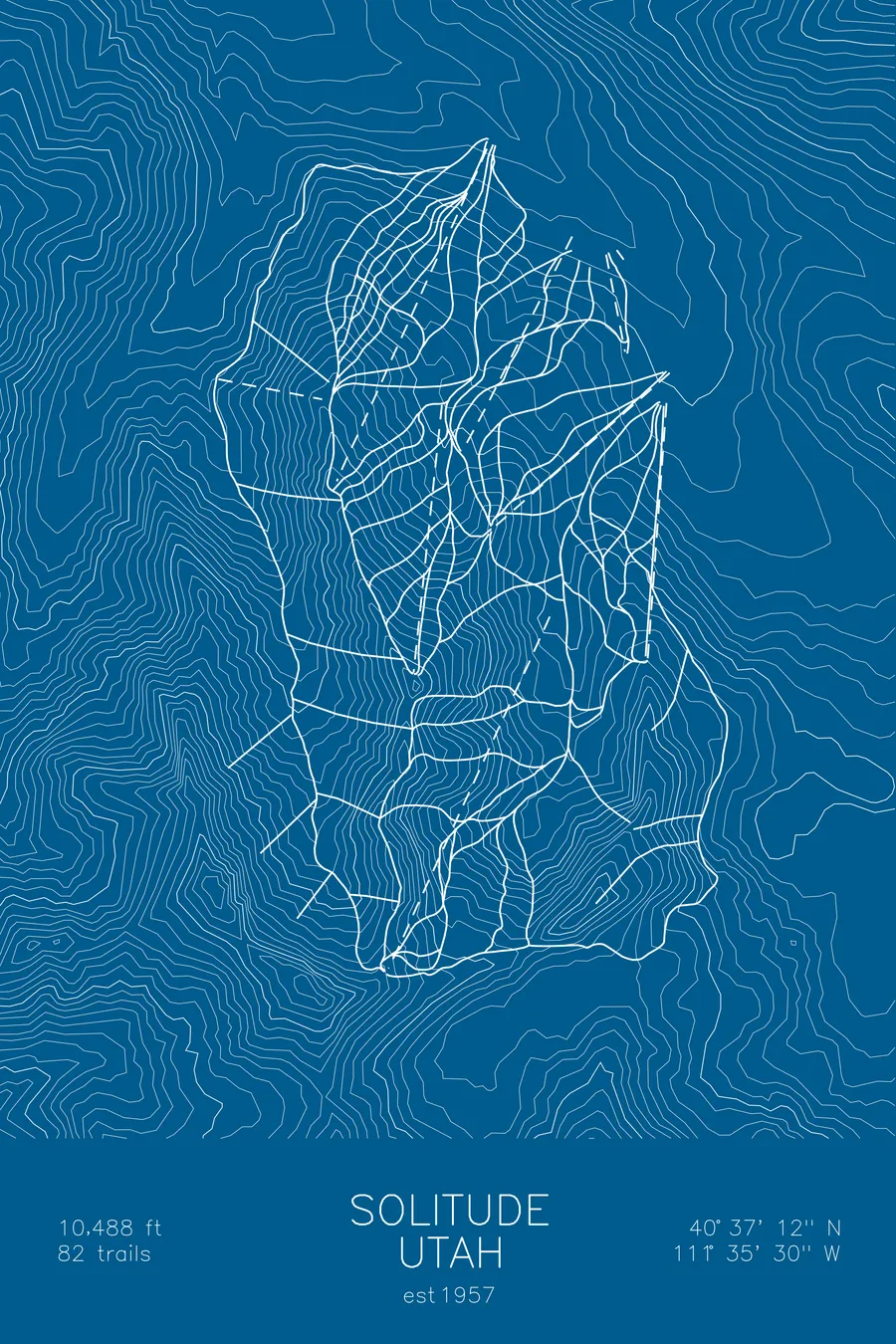
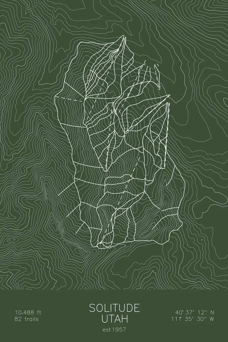
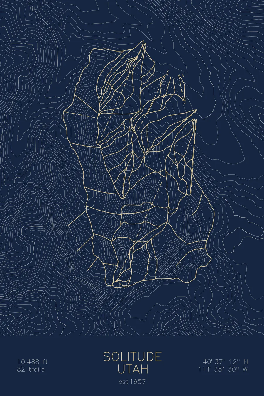
A topographic ski map of Solitude, Utah, with the resort's runs and lifts drawn over real terrain in a minimalist contour-line design.
Est. 1957. 82 trails. 10,488 feet above sea level.
$63
Ink & paper: Arctic White
Size: 12×18"
+Personalize this map
+ Details
- 12 × 18 inches
- Drawn on 98 lb (160 gsm) archival cotton paper
- Precision technical pens and archival inks
- Signed and dated on the back
- Ships flat, protected, ready to frame
Each map begins with elevation data and is drawn by a pen plotter in our Vermont studio. Mechanical precision, plus the texture and small imperfections of real ink on paper.
Off the screen
In real rooms


+ About this map
Solitude lives up to its name: a quiet resort in Utah’s Big Cottonwood Canyon that rarely draws crowds despite the same deep Wasatch snow that falls on its famous neighbors. Its 82 trails range from gentle groomers off the front side to the steep chutes, cliffs, and powder shots of Honeycomb Canyon, a long, wild drainage on the back side that skis more like sidecountry than a resort.
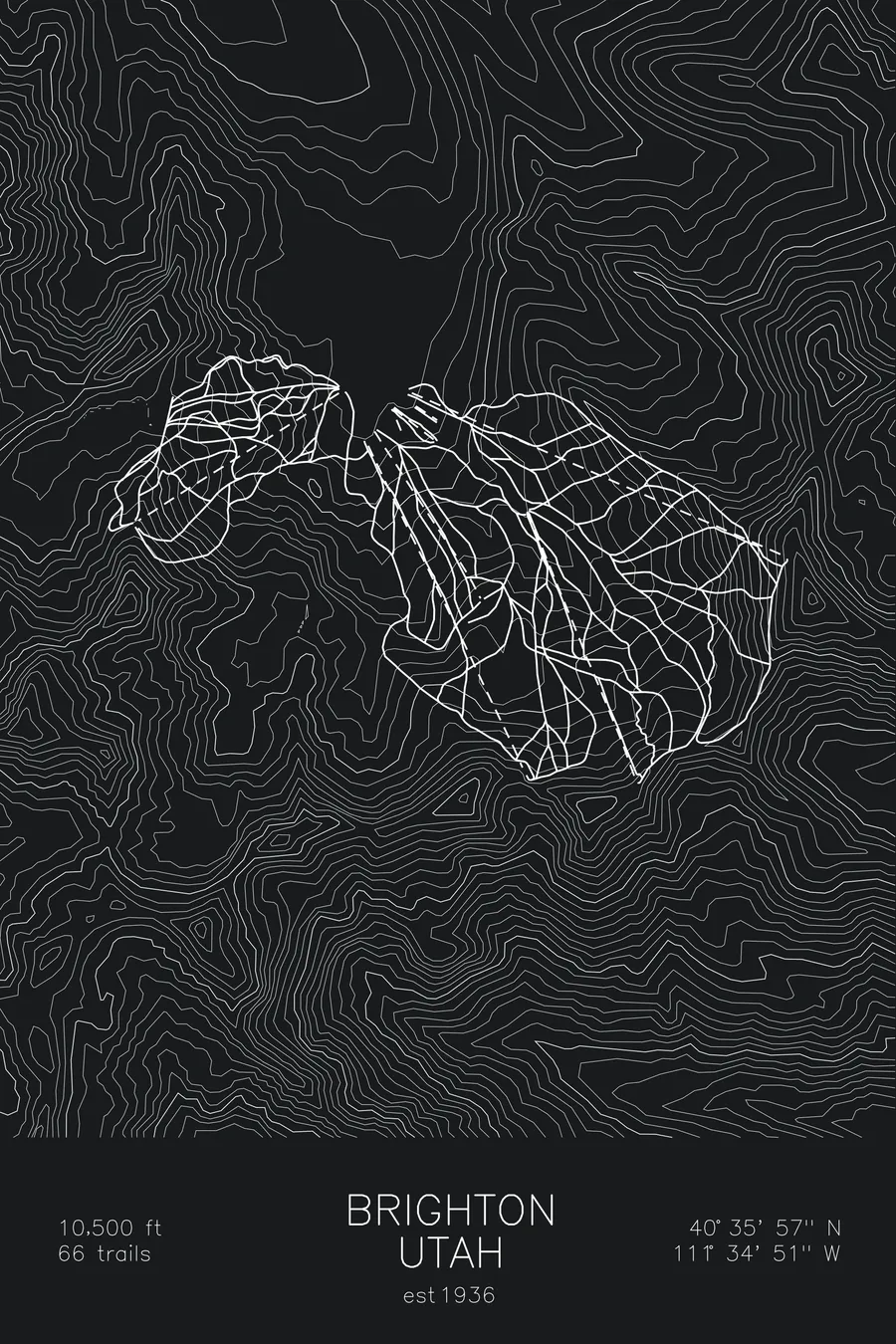
Solitude shares the head of Big Cottonwood Canyon with Brighton, its partner just up the road, and the two are connected by lift-served ridgelines. Founded in 1957, it remains one of the Wasatch’s best-kept secrets for powder days. The contour map traces the folds of Big Cottonwood Canyon and the ridges enclosing Honeycomb.
+ Map details
- Solitude
- Utah
- United States
- Rocky Mountains
- 10,488 ft / 3,197 m
- 40.6200N 111.5917W
- Ski resort trail map
- Original pen plot, archival ink on cotton paper
- 8 × 12 in · 12 × 18 in · 18 × 24 in
- Est. 1957. 82 trails
More maps