Colorado
Steamboat
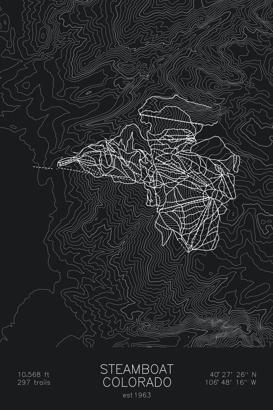
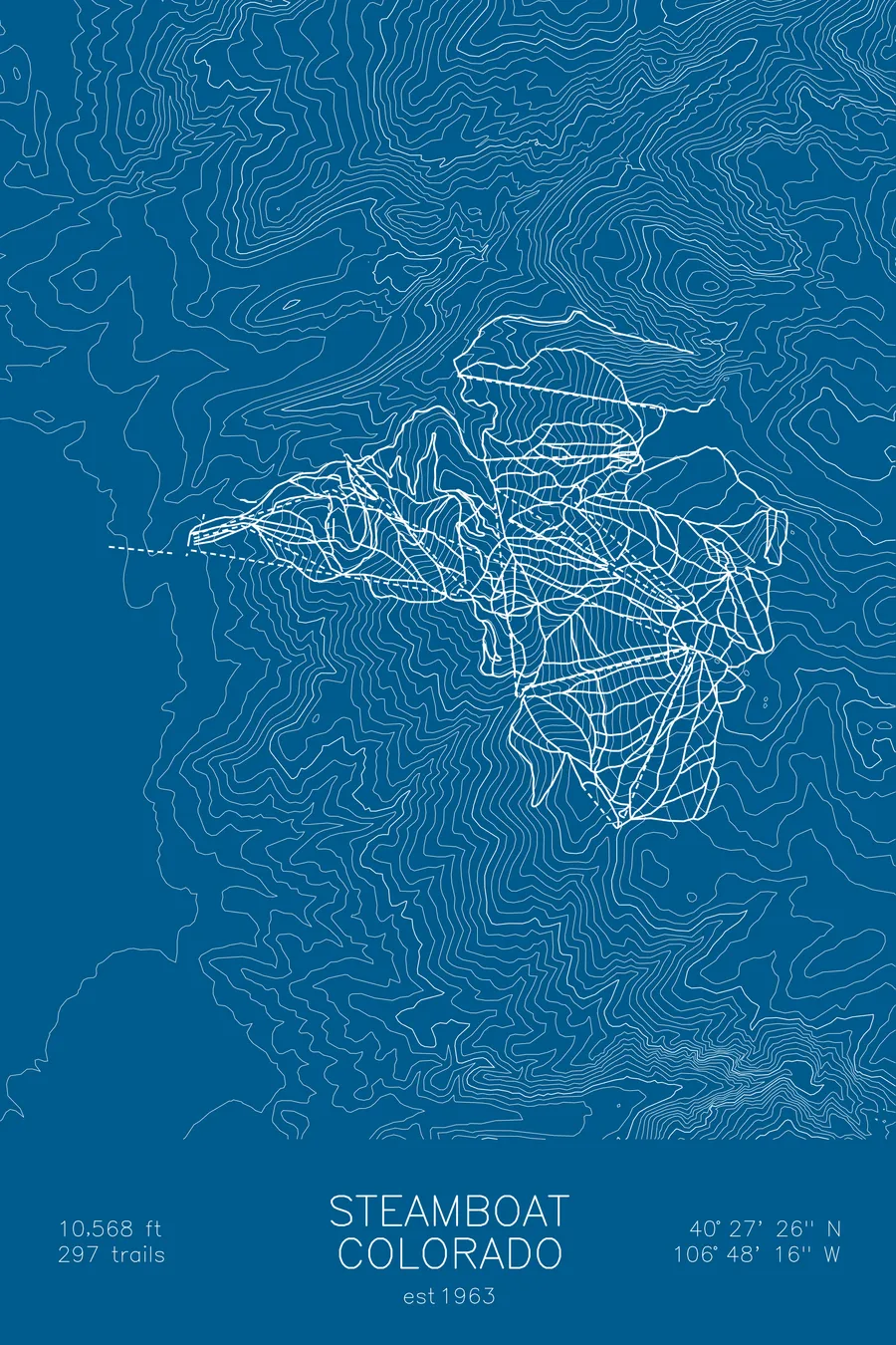
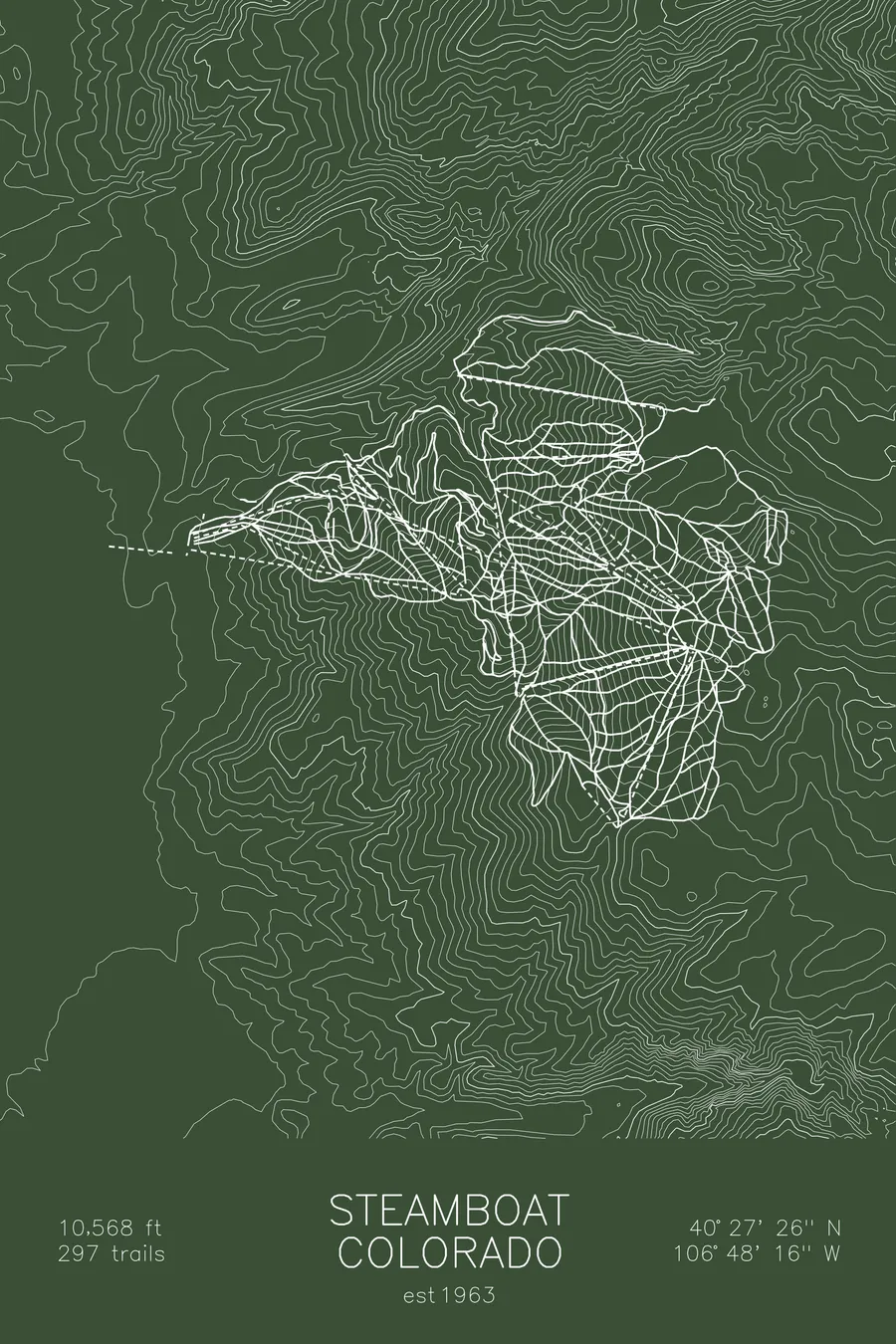
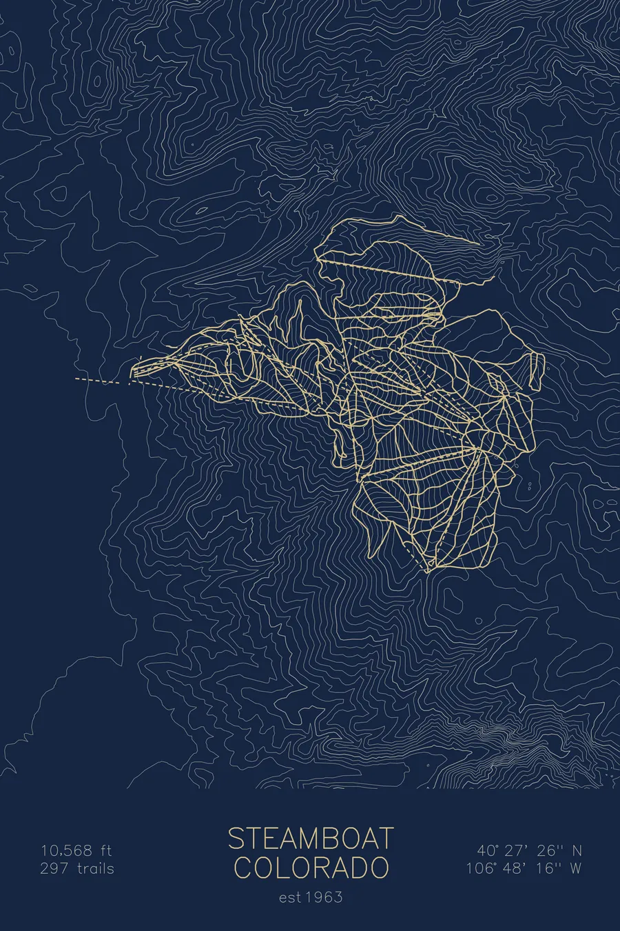
A topographic ski map of Steamboat, Colorado, with the resort's runs and lifts drawn over real terrain in a minimalist contour-line design.
Est. 1963. 182 trails. 10,568 feet above sea level.
$63
Ink & paper: Arctic White
Size: 12×18"
+Personalize this map
+ Details
- 12 × 18 inches
- Drawn on 98 lb (160 gsm) archival cotton paper
- Precision technical pens and archival inks
- Signed and dated on the back
- Ships flat, protected, ready to frame
Each map begins with elevation data and is drawn by a pen plotter in our Vermont studio. Mechanical precision, plus the texture and small imperfections of real ink on paper.
Off the screen
In real rooms


+ About this map
Steamboat is the Colorado resort that trademarked “Champagne Powder,” the exceptionally light, dry snow that piles up on Mount Werner above the Yampa Valley. The mountain’s signature is skiing that snow through the aspens: wide-open glade runs like Shadows and Closet thread white-barked trees for thousands of vertical feet, and Steamboat’s tree skiing is considered among the best anywhere.
The terrain spreads across multiple peaks with long cruisers, bumps, and nearly 3,700 feet of vertical, but the town below shapes the experience as much as the hill. Steamboat Springs is a working ranching town that has sent more athletes to the Winter Olympics than any other town in America, and its Western character sets it apart from Colorado’s glitzier resorts. The contour map shows Mount Werner rising from the broad Yampa Valley floor.
+ Map details
- Steamboat
- Colorado
- United States
- Rocky Mountains
- 10,568 ft / 3,221 m
- 40.4572N 106.8044W
- Ski resort trail map
- Original pen plot, archival ink on cotton paper
- 8 × 12 in · 12 × 18 in · 18 × 24 in
- Est. 1963. 182 trails
More maps