Utah
Sundance
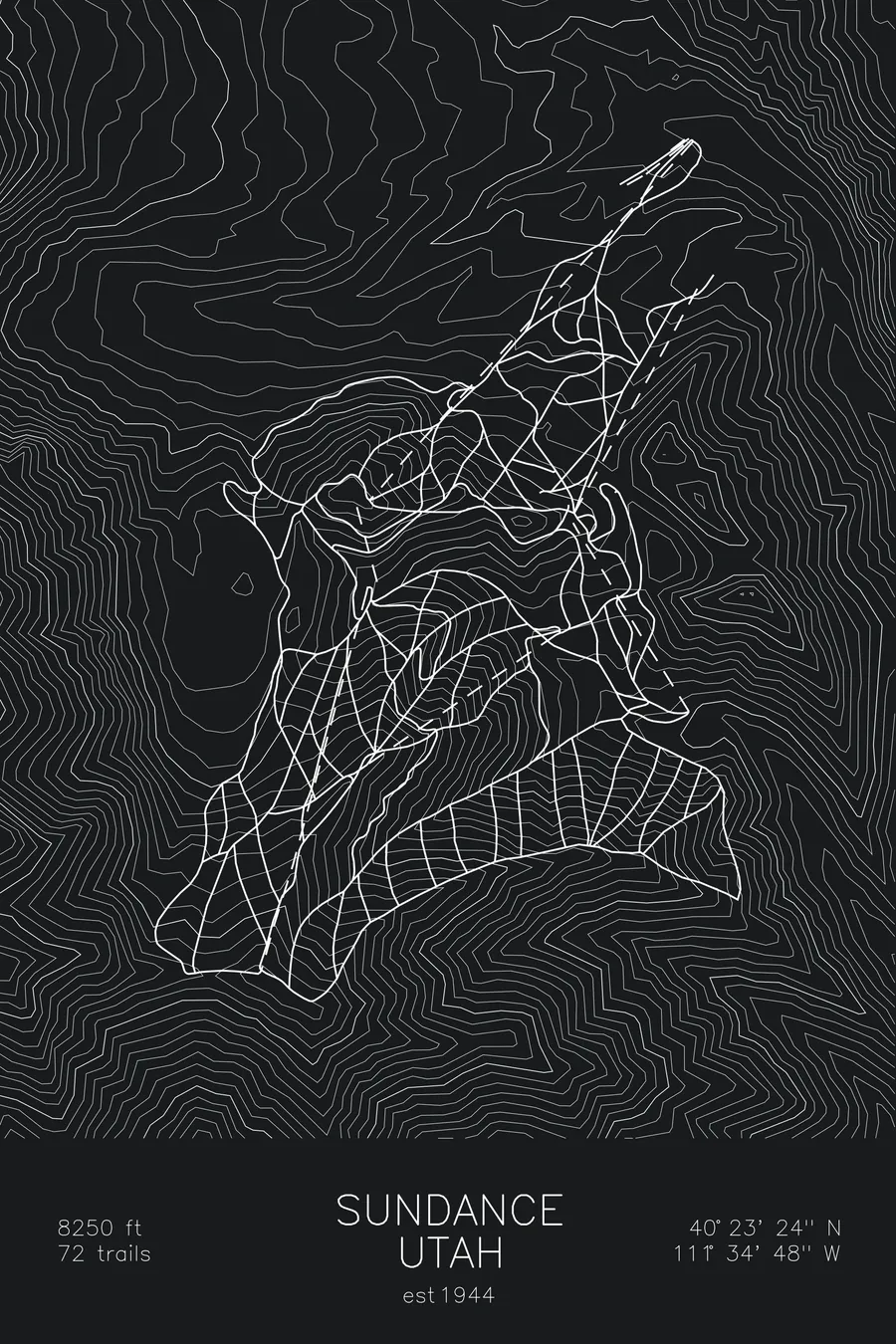
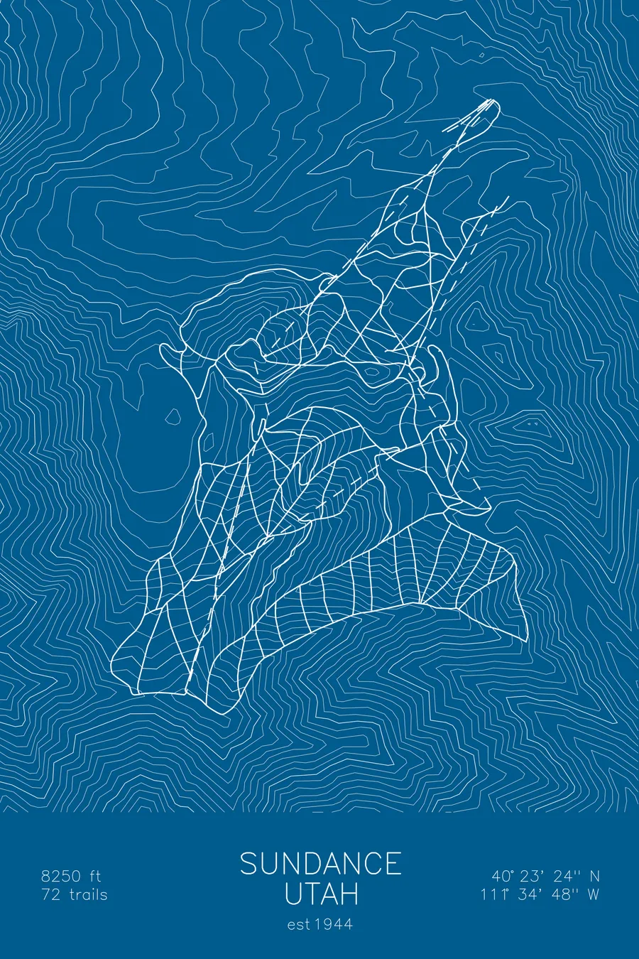
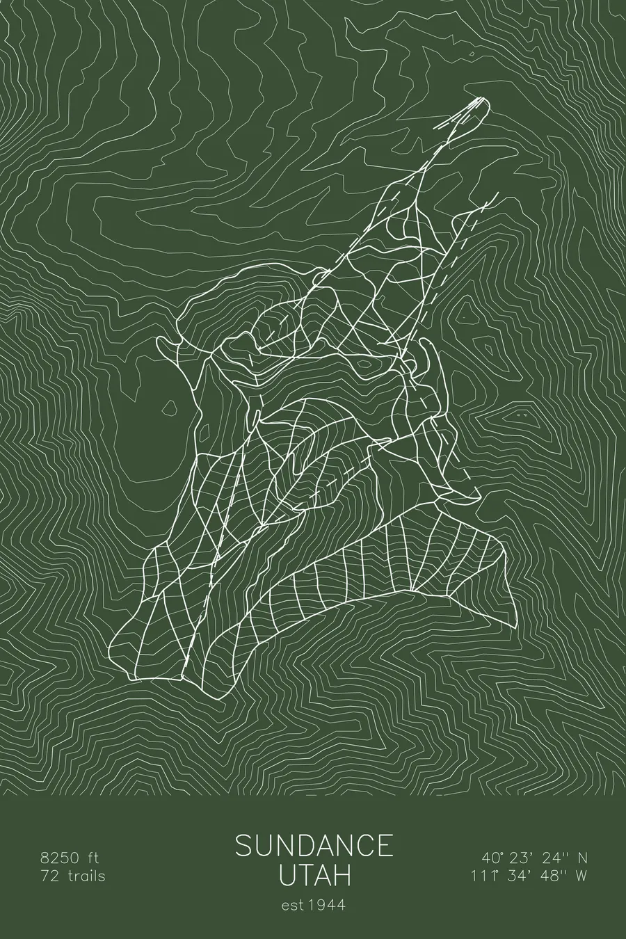
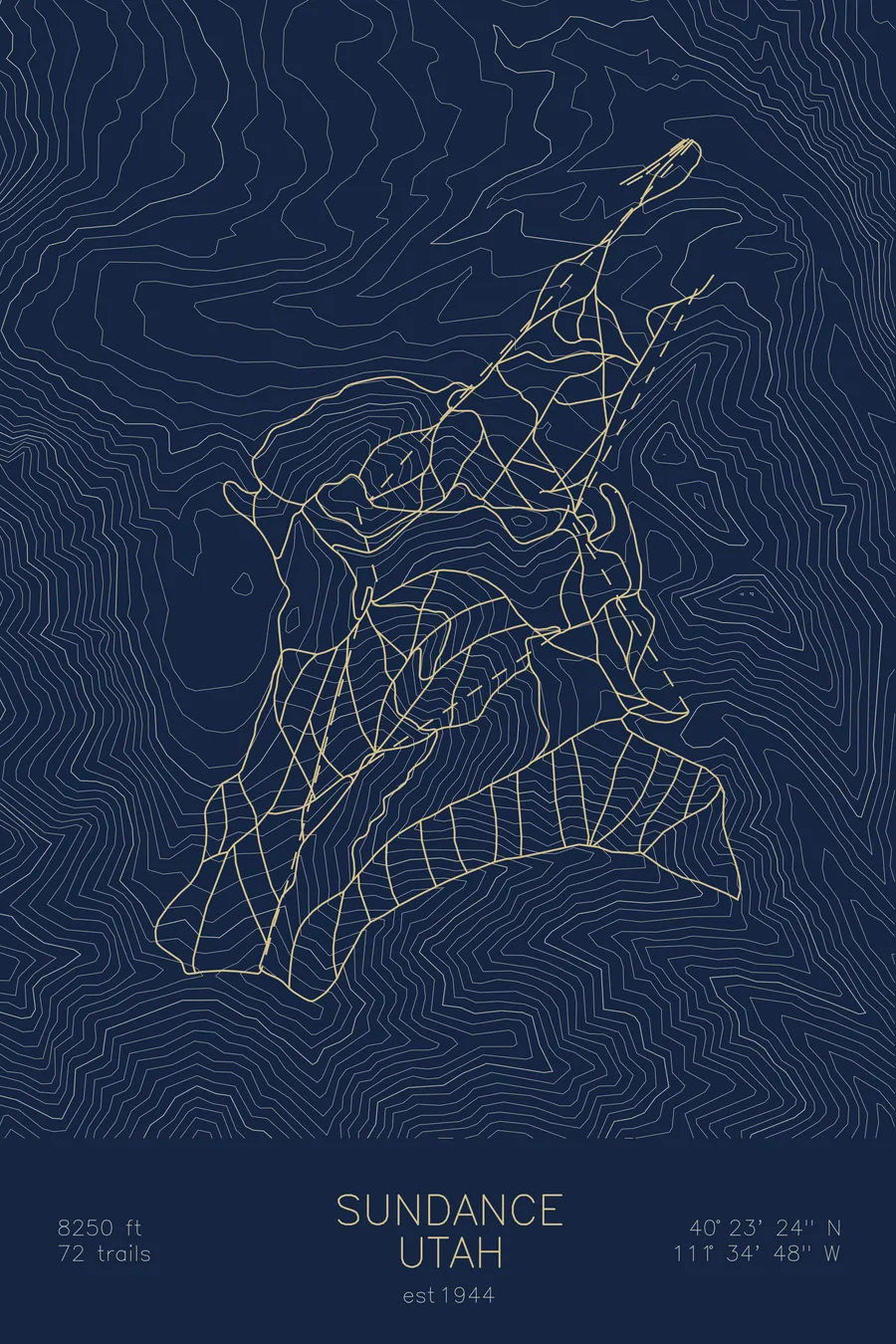
A topographic ski map of Sundance, Utah, with the resort's runs and lifts drawn over real terrain in a minimalist contour-line design.
Est. 1944. 72 trails. 8,250 feet above sea level.
$63
Ink & paper: Arctic White
Size: 12×18"
+Personalize this map
+ Details
- 12 × 18 inches
- Drawn on 98 lb (160 gsm) archival cotton paper
- Precision technical pens and archival inks
- Signed and dated on the back
- Ships flat, protected, ready to frame
Each map begins with elevation data and is drawn by a pen plotter in our Vermont studio. Mechanical precision, plus the texture and small imperfections of real ink on paper.
Off the screen
In real rooms


+ About this map
Sundance sits in a narrow canyon on the northeast slopes of 11,750-foot Mount Timpanogos, one of the most imposing peaks in Utah’s Wasatch Range. Skiing began here in 1944, and the resort took its modern identity in 1969 when Robert Redford bought the canyon and named it for his most famous role. Its 72 trails climb to 8,250 feet, and the resort has stayed intentionally small and quiet, as much an arts community as a ski area.
The contour map sets the modest ski terrain against the massive wall of Timpanogos above it, the backdrop that defines every run on the mountain.
+ Map details
- Sundance
- Utah
- United States
- Rocky Mountains
- 8,250 ft / 2,515 m
- 40.3900N 111.5800W
- Ski resort trail map
- Original pen plot, archival ink on cotton paper
- 8 × 12 in · 12 × 18 in · 18 × 24 in
- Est. 1944. 72 trails
More maps