Colorado
Telluride
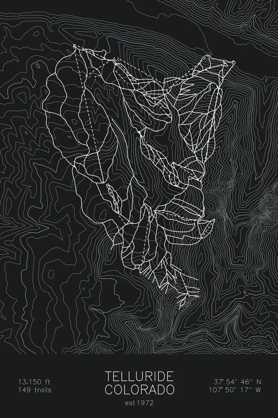
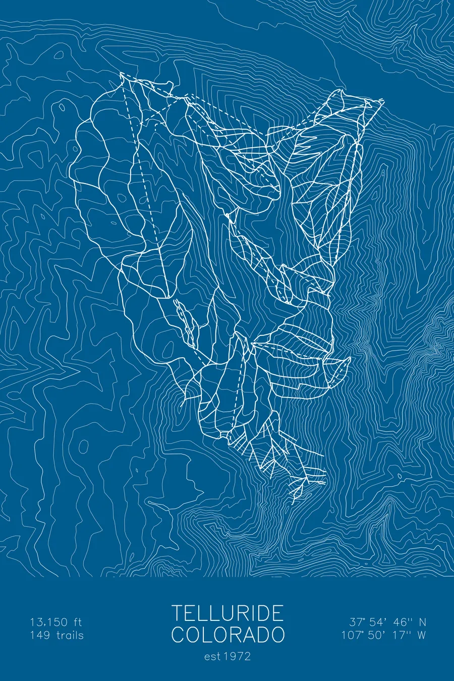
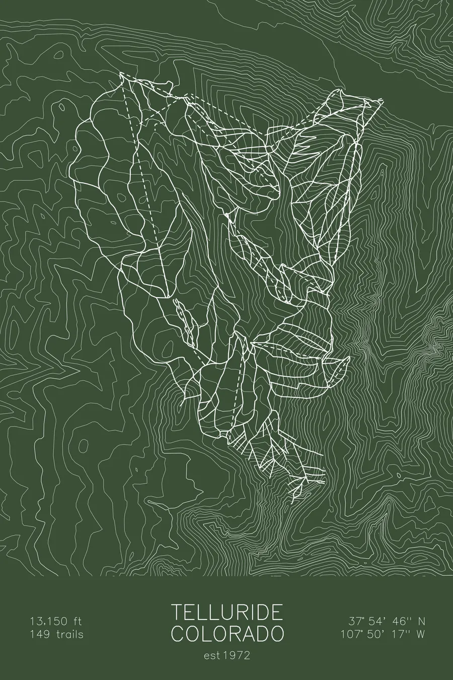
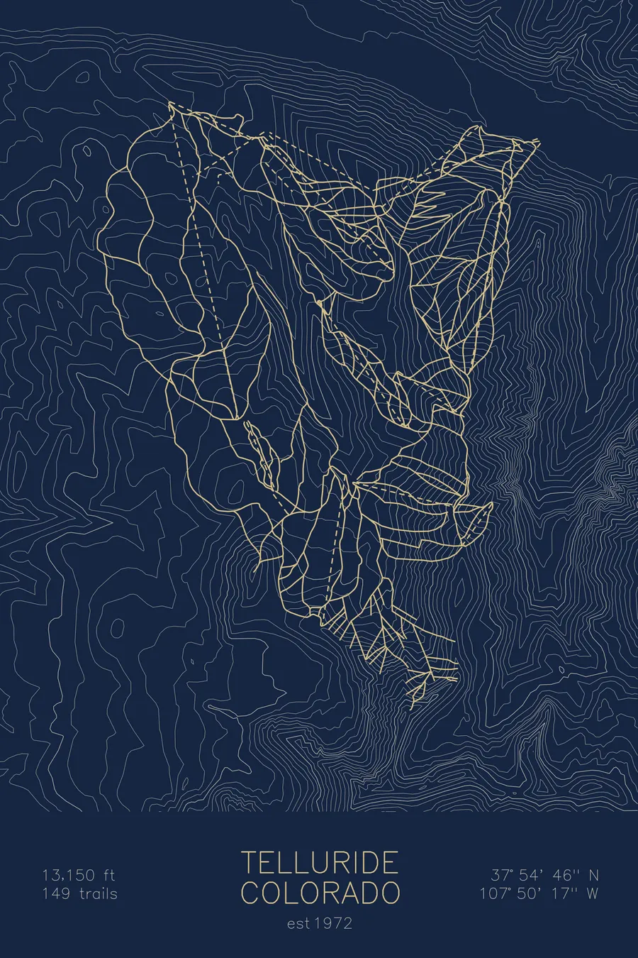
A topographic ski map of Telluride, Colorado, with the resort's runs and lifts drawn over real terrain in a minimalist contour-line design.
Est. 1972. 149 trails. 13,150 feet above sea level.
$63
Ink & paper: Arctic White
Size: 12×18"
+Personalize this map
+ Details
- 12 × 18 inches
- Drawn on 98 lb (160 gsm) archival cotton paper
- Precision technical pens and archival inks
- Signed and dated on the back
- Ships flat, protected, ready to frame
Each map begins with elevation data and is drawn by a pen plotter in our Vermont studio. Mechanical precision, plus the texture and small imperfections of real ink on paper.
Off the screen
In real rooms


+ About this map
Telluride occupies one of the most dramatic settings in North American skiing, a box canyon deep in Colorado’s San Juan Mountains ringed by 13,000-foot peaks. The resort opened in 1972 above a Victorian mining town, and a free gondola now links the historic streets to Mountain Village on the other side of the ridge. Its 149 trails top out at 13,150 feet on hike-to Palmyra Peak, where steep chutes and open faces drop toward long groomers and glades below.
The contour map captures the canyon walls closing around town and the high ridgelines that make Telluride’s skyline unmistakable.
+ Map details
- Telluride
- Colorado
- United States
- Rocky Mountains
- 13,150 ft / 4,008 m
- 37.9128N 107.8381W
- Ski resort trail map
- Original pen plot, archival ink on cotton paper
- 8 × 12 in · 12 × 18 in · 18 × 24 in
- Est. 1972. 149 trails
More maps