

Colorado
Wetterhorn Peak
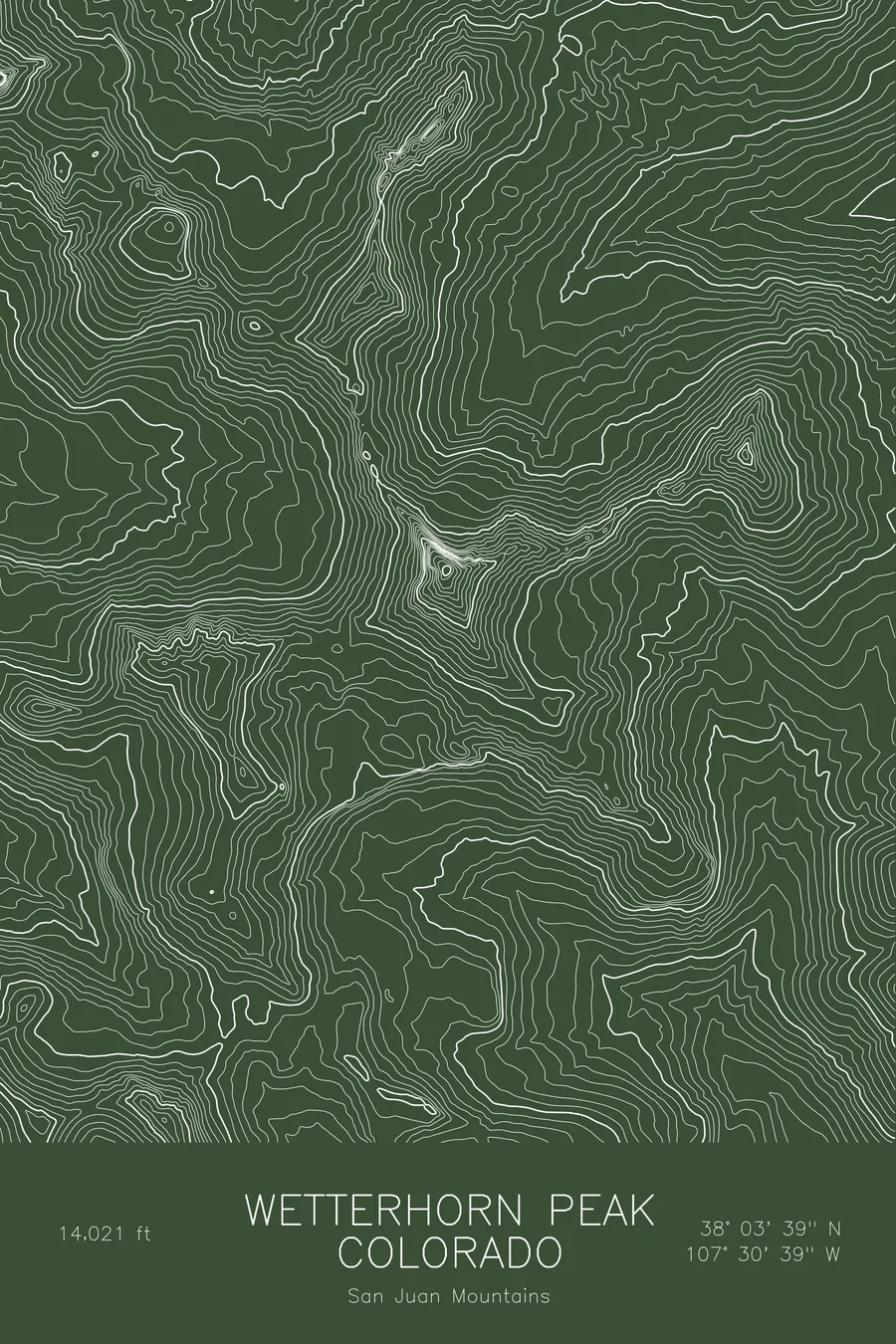
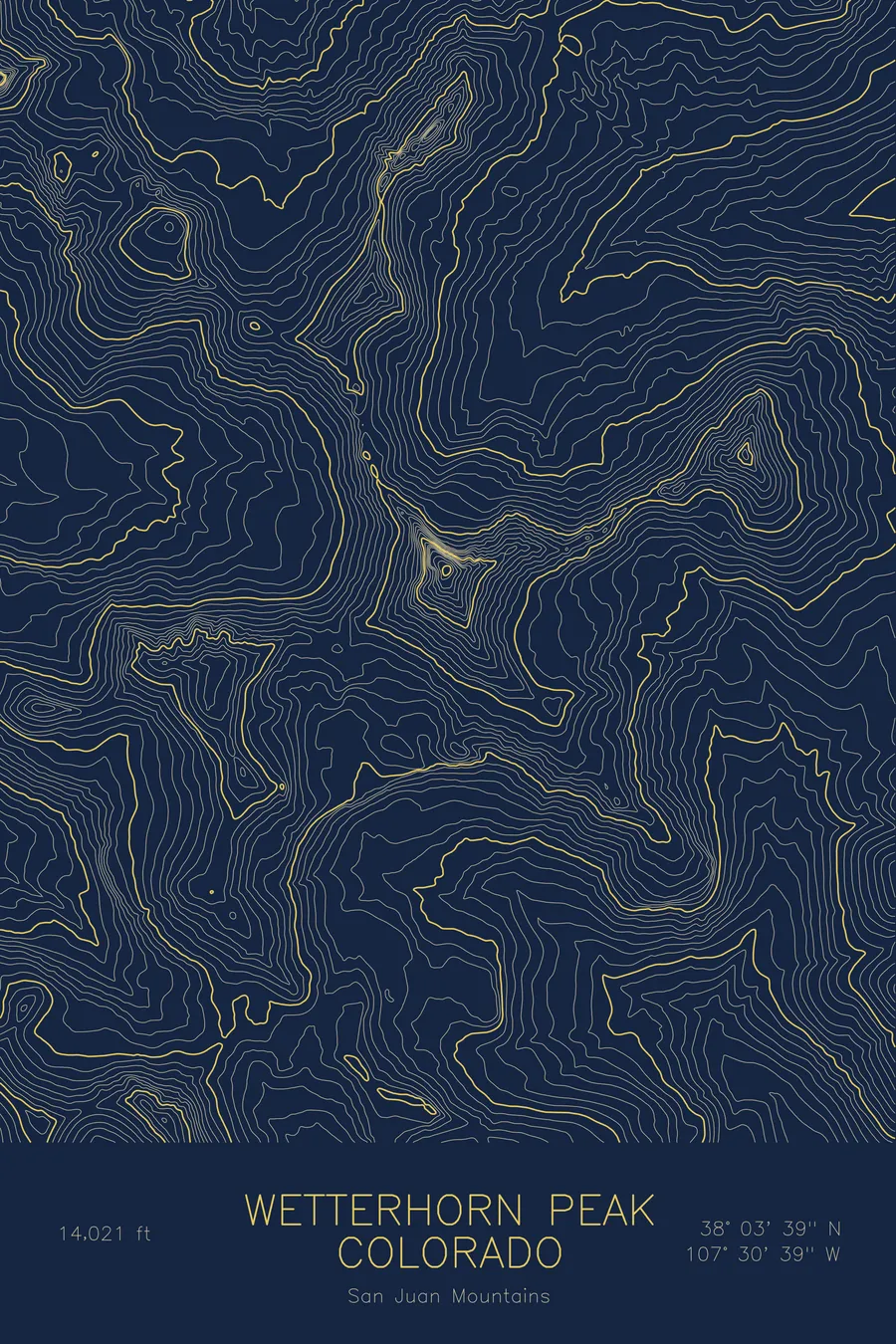
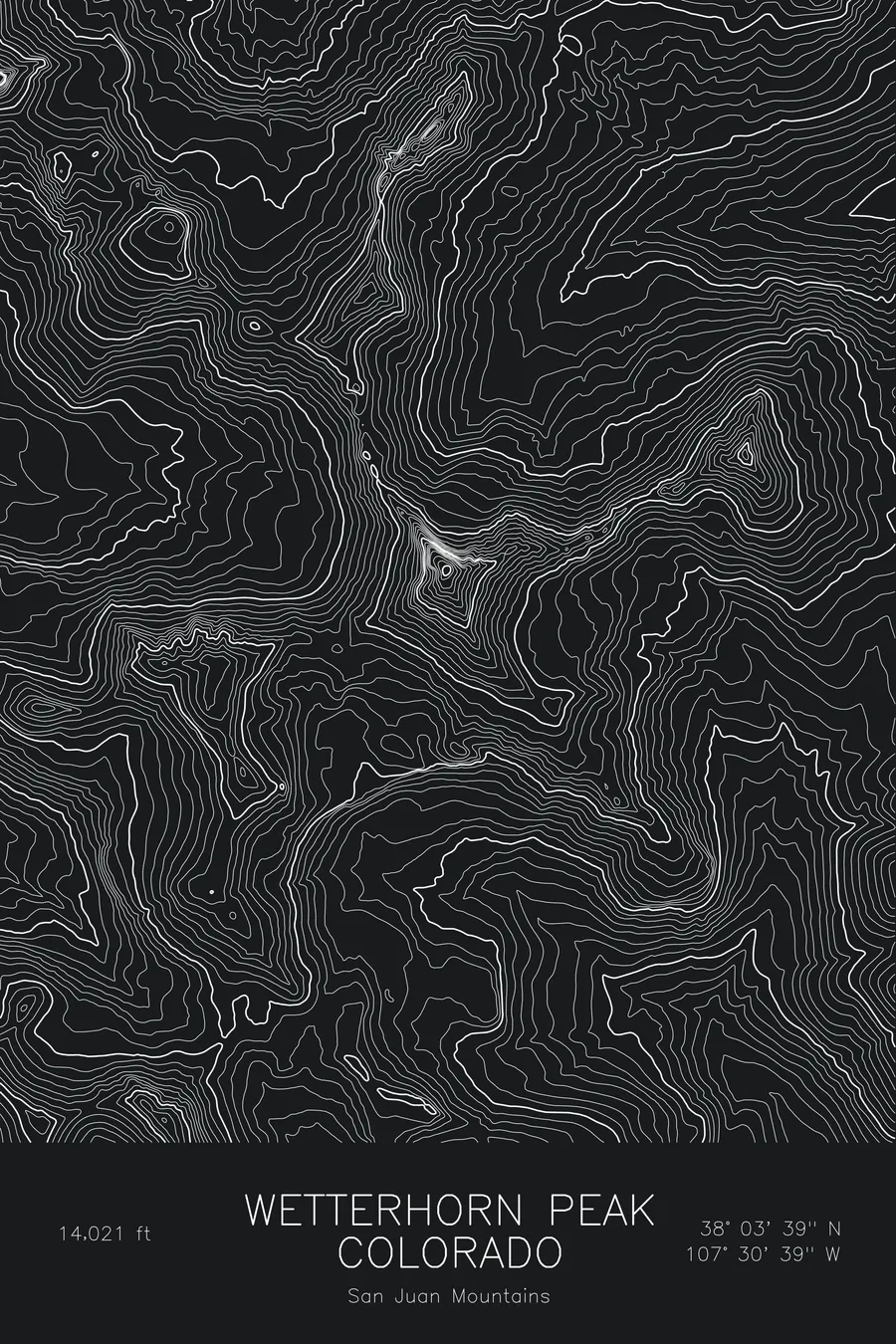
A pen-plotted topographic map of Wetterhorn Peak in the San Juan Mountains, Colorado, drawn from real elevation contour data.
Matterhorn-like San Juan spire named after the Swiss Wetterhorn. 14,021 feet above sea level.
$54
Ink & paper: Blue
Size: 12×18"
+Personalize this map
+ Details
- 12 × 18 inches
- Drawn on 98 lb (160 gsm) archival cotton paper
- Precision technical pens and archival inks
- Signed and dated on the back
- Ships flat, protected, ready to frame
Each map begins with elevation data and is drawn by a pen plotter in our Vermont studio. Mechanical precision, plus the texture and small imperfections of real ink on paper.
Off the screen
In real rooms


+ About this map
Wetterhorn Peak rises to 14,021 feet in the San Juan Mountains of southwest Colorado, a sharp horn of volcanic rock named after the Wetterhorn in the Swiss Alps. It stands a few miles west of Uncompahgre Peak, the highest summit in the range, and although it is one of the lower fourteeners it has one of the more memorable finishes: a short pitch of steep rock just below the summit that turns a hike into a scramble.
This map traces the horn and the broad basins around it. The contour lines converge sharply on the summit from all sides, with the steepest faces on the north and east, then open out into the high, rolling tundra that characterizes this part of the San Juans, where the valley floors themselves sit above 11,000 feet. Within this frame the terrain covers about 2,900 feet, a modest range that reflects how high the whole plateau sits rather than any gentleness in the peak itself.
+ Map details
- Wetterhorn Peak
- Colorado
- United States
- San Juan Mountains
- San Juan Mountains
- 14,021 ft / 4,274 m
- 38.0607N 107.5109W
- Mountain topographic map
- Original pen plot, archival ink on cotton paper
- 8 × 12 in · 12 × 18 in · 18 × 24 in
- Matterhorn-like San Juan spire named after the Swiss Wetterhorn
More maps