

New York
Whiteface Mountain
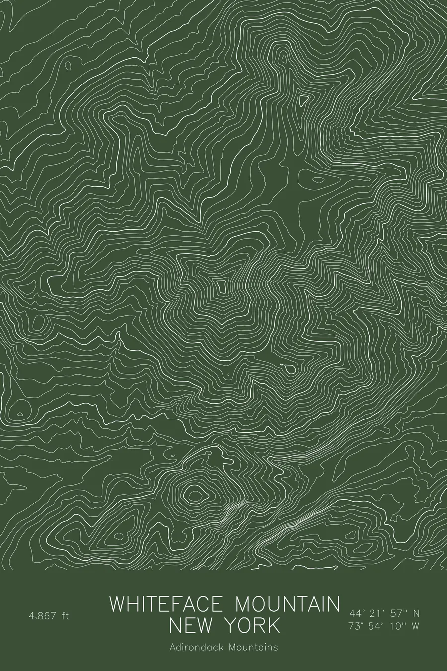
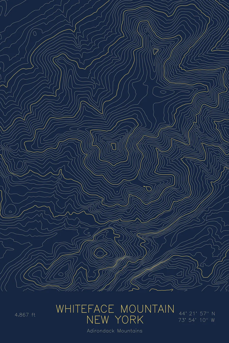
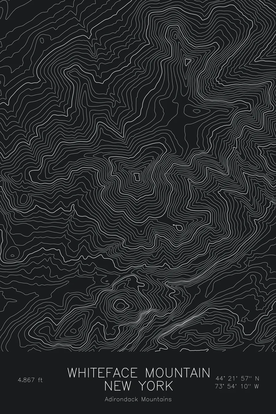
A pen-plotted topographic map of Whiteface Mountain in the Adirondacks, New York, drawn from real elevation contour data.
Olympic ski mountain, fifth highest Adirondack peak. 4,867 feet above sea level.
$54
Ink & paper: Blue
Size: 12×18"
+Personalize this map
+ Details
- 12 × 18 inches
- Drawn on 98 lb (160 gsm) archival cotton paper
- Precision technical pens and archival inks
- Signed and dated on the back
- Ships flat, protected, ready to frame
Each map begins with elevation data and is drawn by a pen plotter in our Vermont studio. Mechanical precision, plus the texture and small imperfections of real ink on paper.
Off the screen
In real rooms


+ About this map
Whiteface Mountain rises to 4,867 feet in the Adirondacks of New York, the fifth-highest peak in the range and the one that stands apart from the main cluster of High Peaks, a few miles north of Lake Placid. It is the Olympic ski mountain, host of the alpine events of the 1980 Winter Games, and its summit is reached by both hiking trails and the Veterans Memorial Highway, a toll road built in the 1930s that climbs to a stone castle just below the top.
This map traces a mountain of unusual relief for the eastern United States. Because Whiteface stands alone, the terrain drops away on every side, and within this frame it covers about 3,600 feet from the valley of the West Branch of the Ausable River to the summit. The contour lines are tightest on the east face, where the ski trails run, and on the slide-scarred slopes to the south and west that give the mountain its name. Esther Mountain, the sub-peak to the northeast, shows as a secondary set of rings on the long north ridge.
+ Map details
- Whiteface Mountain
- New York
- United States
- Adirondacks
- Adirondacks
- 4,867 ft / 1,483 m
- 44.3658N 73.9028W
- Mountain topographic map
- Original pen plot, archival ink on cotton paper
- 8 × 12 in · 12 × 18 in · 18 × 24 in
- Olympic ski mountain, fifth highest Adirondack peak
More maps