


Colorado
Windom Peak
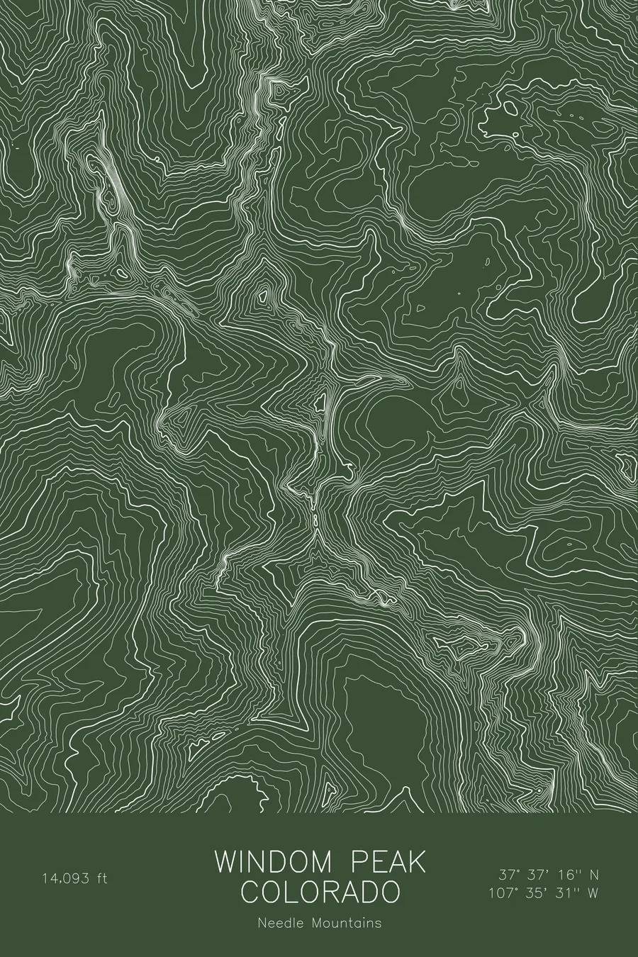
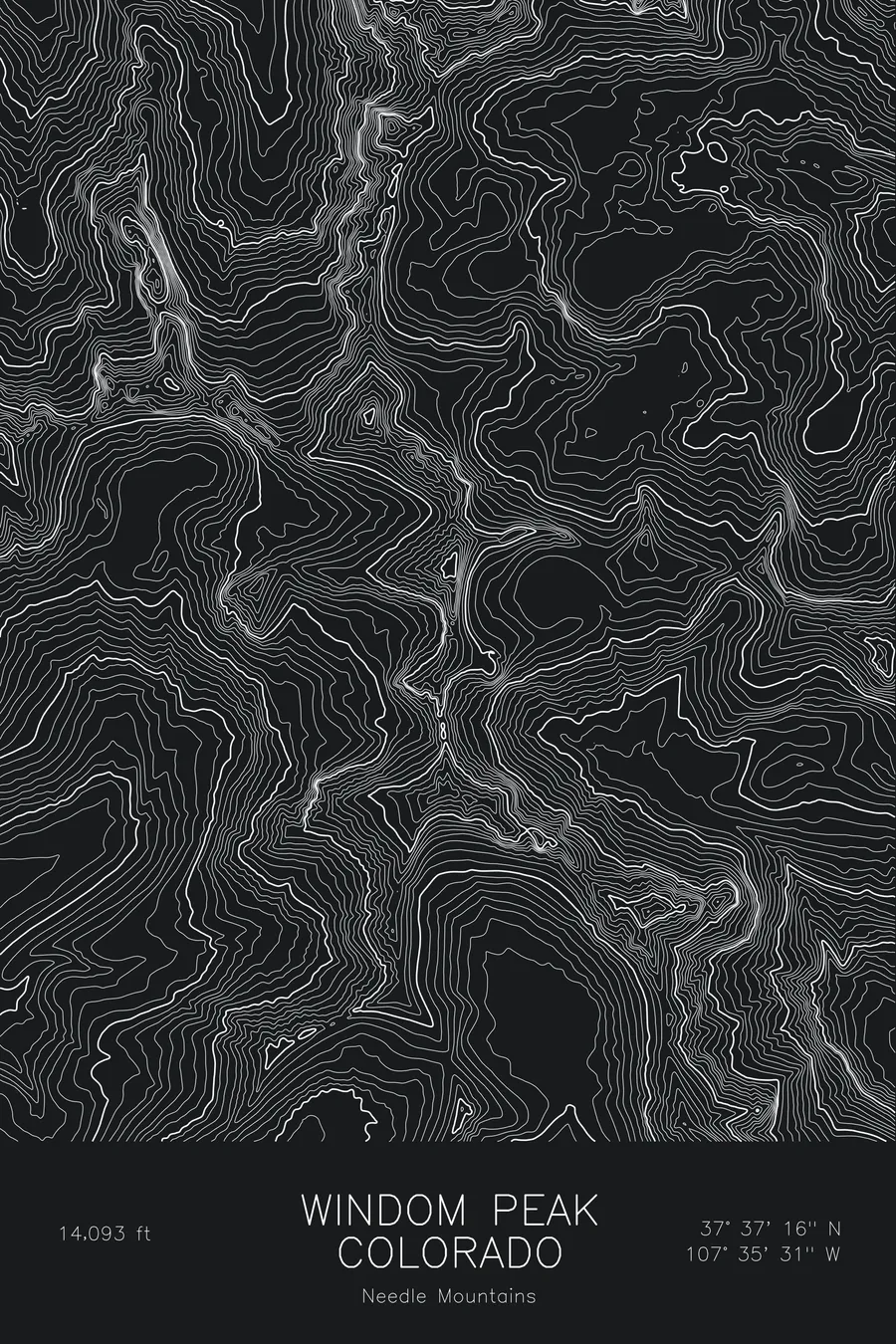
A pen-plotted topographic map of Windom Peak in the Needle Mountains, Colorado, drawn from real elevation contour data.
Highest of the Chicago Basin trio, reached via the Durango & Silverton railroad. 14,093 feet above sea level.
$54
Ink & paper: Blue
Size: 12×18"
+Personalize this map
+ Details
- 12 × 18 inches
- Drawn on 98 lb (160 gsm) archival cotton paper
- Precision technical pens and archival inks
- Signed and dated on the back
- Ships flat, protected, ready to frame
Each map begins with elevation data and is drawn by a pen plotter in our Vermont studio. Mechanical precision, plus the texture and small imperfections of real ink on paper.
Off the screen
In real rooms


+ About this map
Windom Peak rises to 14,093 feet in the Needle Mountains of southwest Colorado, the highest of the three fourteeners that ring Chicago Basin in the Weminuche Wilderness. Like its neighbors Eolus and Sunlight, it is reached by riding the Durango and Silverton narrow gauge railroad to Needleton and walking up into the basin, a two-day approach that keeps the crowds thin. The summit is a pile of huge granite blocks with a view across the whole range.
This map traces the head of Chicago Basin and the peaks that enclose it. The contour lines are tight on Windom’s north face above the Twin Lakes and along the ridge to Sunlight Peak, and open slightly on the west ridge that carries the standard route. The south side drops toward the Johnson Creek drainage in a series of steep gullies. Within this frame the terrain covers about 3,300 feet, most of it rock and steep alpine ground with little of the gentle tundra that characterizes the peaks farther north.
+ Map details
- Windom Peak
- Colorado
- United States
- Needle Mountains
- Needle Mountains
- 14,093 ft / 4,296 m
- 37.6212N 107.5919W
- Mountain topographic map
- Original pen plot, archival ink on cotton paper
- 8 × 12 in · 12 × 18 in · 18 × 24 in
- Highest of the Chicago Basin trio, reached via the Durango & Silverton railroad
More maps