

Utah
Bryce Canyon National Park
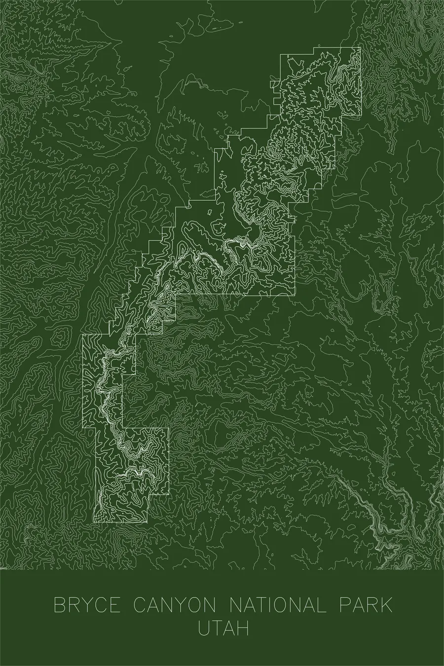
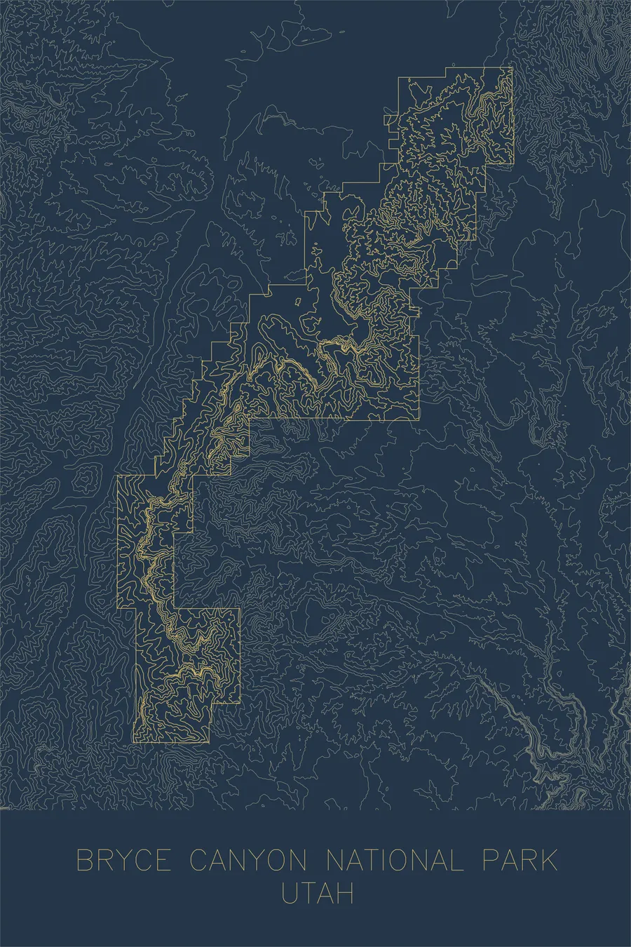
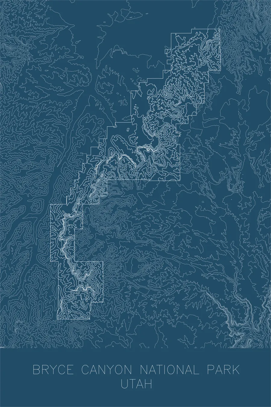
A pen-plotted topographic map of Bryce Canyon National Park, Utah, drawn from real elevation contour data.
Home to the largest concentration of hoodoos on Earth. 9,115 feet above sea level.
$54
Ink & paper: Black
+Personalize this map
+ Details
- 12 × 18 inches
- Drawn on 98 lb (160 gsm) archival cotton paper
- Precision technical pens and archival inks
- Signed and dated on the back
- Ships flat, protected, ready to frame
Each map begins with elevation data and is drawn by a pen plotter in our Vermont studio. Mechanical precision, plus the texture and small imperfections of real ink on paper.
Off the screen
In real rooms


+ About this map
Bryce Canyon is not a canyon at all but a series of natural amphitheaters eroded into the eastern edge of the Paunsaugunt Plateau. At elevations between 8,000 and 9,000 feet, frost wedging and rainwater have carved the soft limestone into thousands of hoodoos: tall, thin spires of rock that stand in densely packed rows like the ruins of an impossible city.
This map traces the plateau’s rim and the labyrinth of fins, walls, and gullies below it. The contour lines compress dramatically at the amphitheater edges where the terrain drops hundreds of feet over short distances, then spread wide across the gentle plateau above. The result is a portrait of a landscape defined by its edge, a place where a flat, forested highland suddenly breaks apart into one of the most intricate erosional landscapes on the planet.
+ Map details
- Bryce Canyon National Park
- Utah
- United States
- Rocky Mountains
- 9,115 ft / 2,778 m
- 37.5930N 112.1871W
- National park topographic map
- Original pen plot, archival ink on cotton paper
- 12 × 18 in
- Home to the largest concentration of hoodoos on Earth
More maps