Any peak
Custom mountain map
Any mountain on Earth, drawn line by line from its real elevation data.
$70
Ink & paper: Green
Size: 12×18"
Please tell me which place to map first.
+ Details
- 12 × 18 inches
- Drawn on 98 lb (160 gsm) archival cotton paper
- Precision technical pens and archival inks
- Signed and dated on the back
- Ships flat, protected, ready to frame
Your map is built from real elevation data for the place you name, laid out in the same house style as the rest of the shop, and sent to you as a digital proof first. Once you approve it, a pen plotter draws it in our Vermont studio: mechanical precision, plus the texture and small imperfections of real ink on paper.
Off the screen
In real rooms


+ About this map
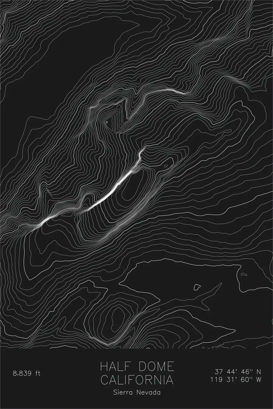
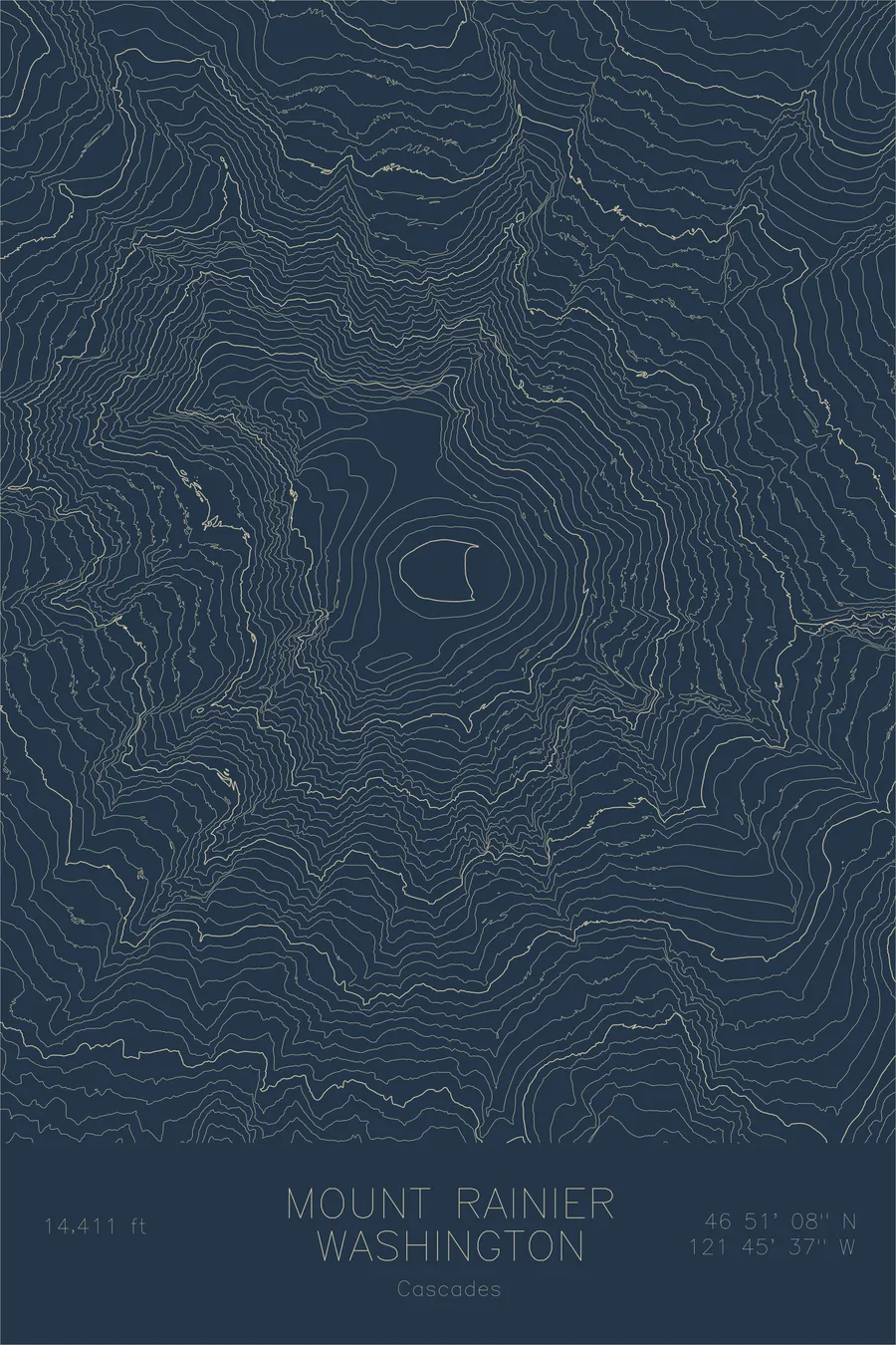
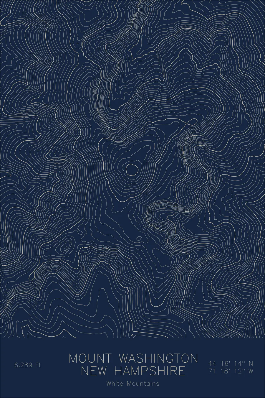
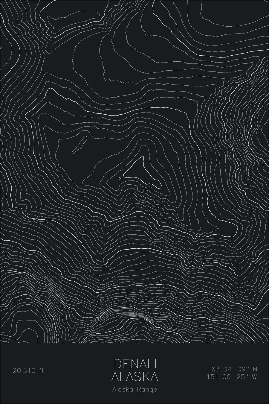
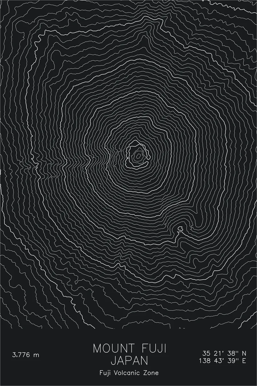
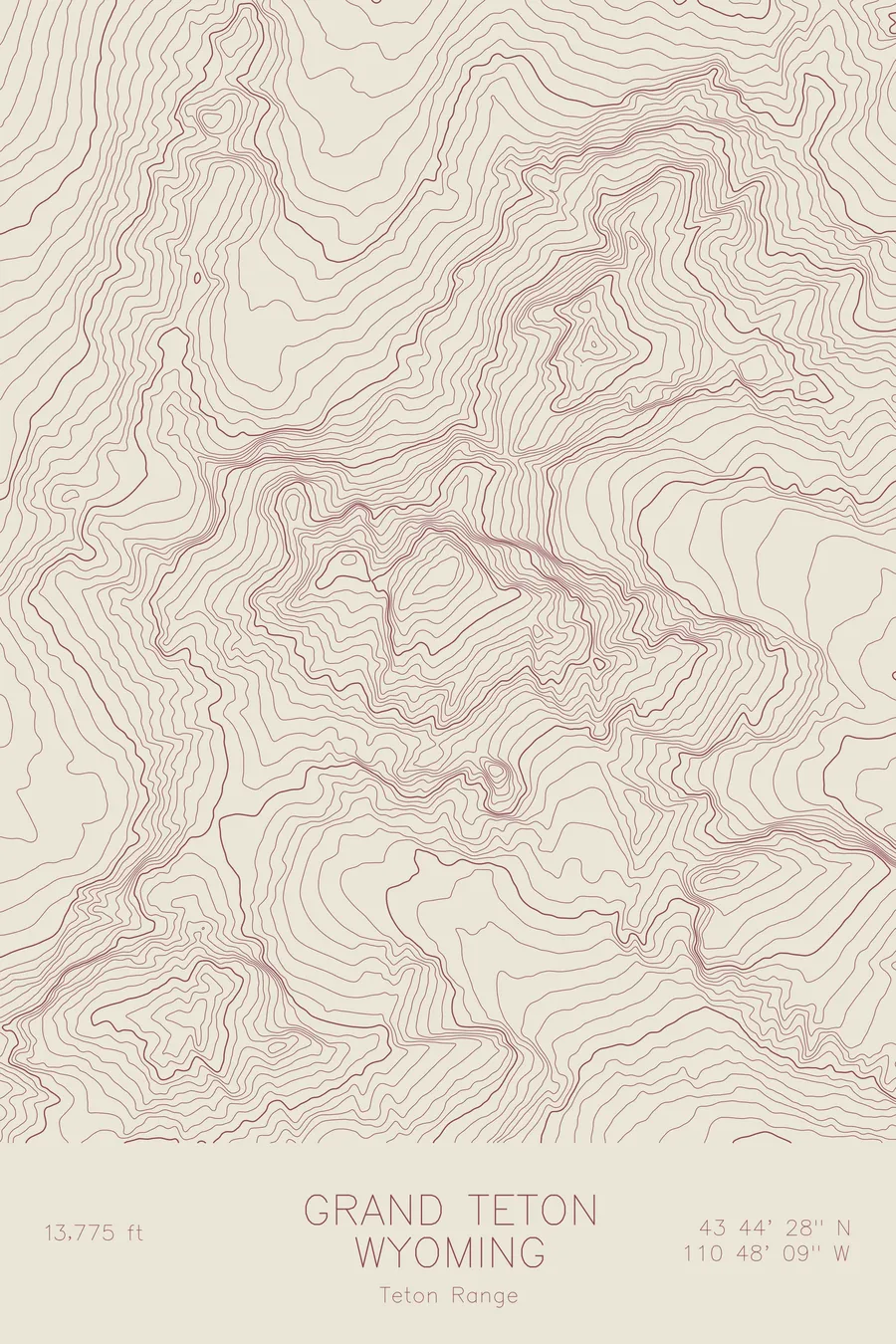
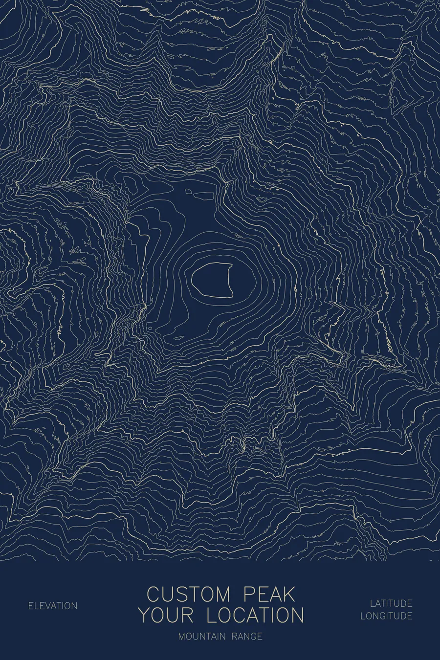
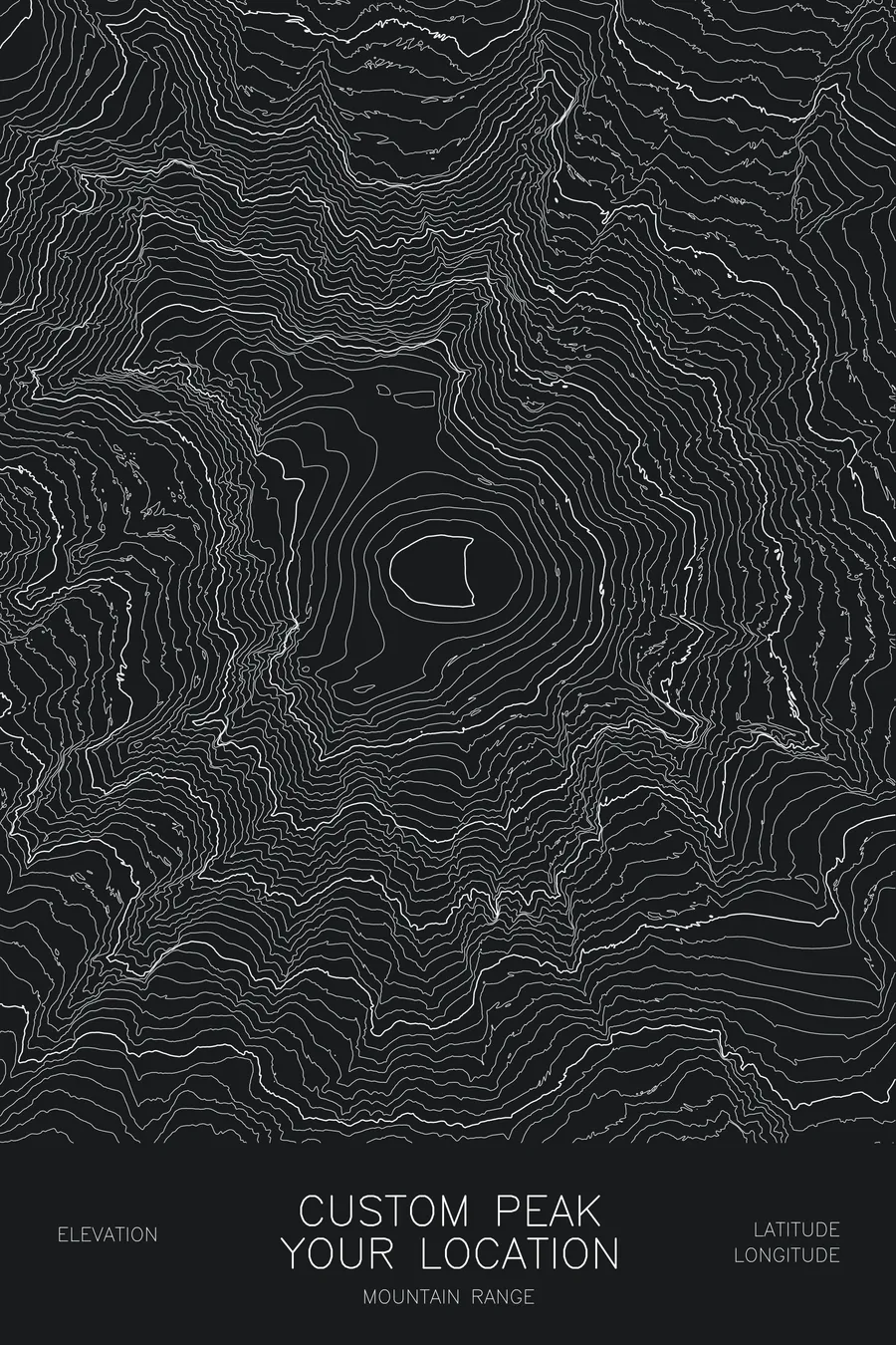
Looking for a mountain that isn’t in the shop yet? This is the listing for every other peak. Tell me the mountain and I’ll build its map from real elevation data, in the same style as the ready-made peaks: the summit, its ridges, and the valleys around it, drawn contour by contour.
How it works. Choose a size and colorway, then name your mountain in the box above. A peak name and region is all I need; specific coordinates and text customizations are welcome. The standard label shows the peak name, region, elevation, and coordinates, but it can carry a summit date, a name, or a short dedication instead. Within 2 business days you’ll get a digital mockup of your map, with as many revisions as needed to get it right. Once you approve it, your map is plotted, signed, and shipped within 3 to 5 business days.
What you’ll receive. An original pen-plotted topographic map of your mountain on heavy archival, acid-free paper, drawn with pigment ink that is archival and fade resistant. Signed on the back, unframed, sized to fit standard frames.
Perfect for commemorating a summit day, a fourteener finish, or a first big climb; proposals and weddings that happened up high (I can add a discreet marker); and climbers, hikers, and anyone who keeps looking up at the same mountain.
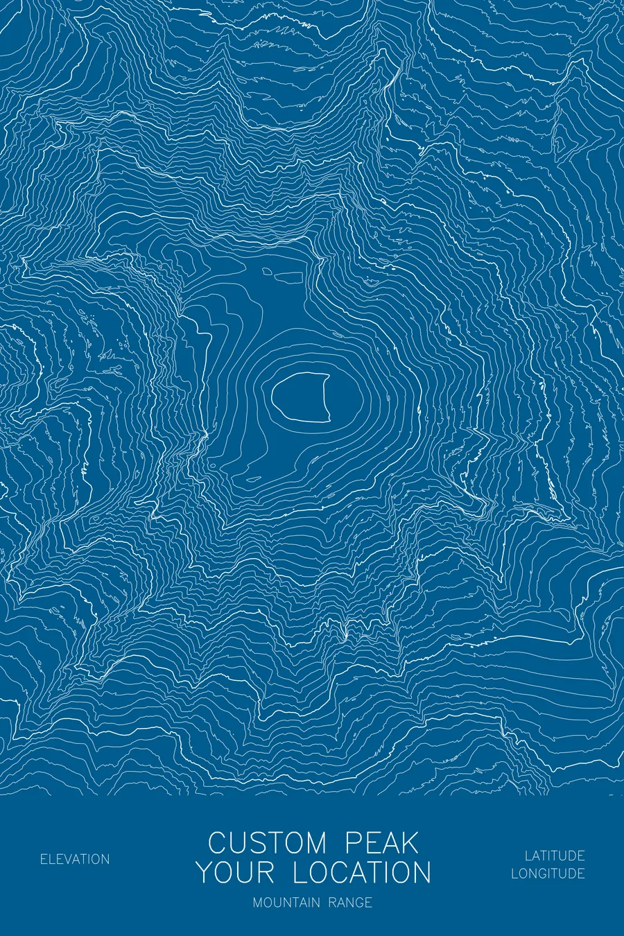
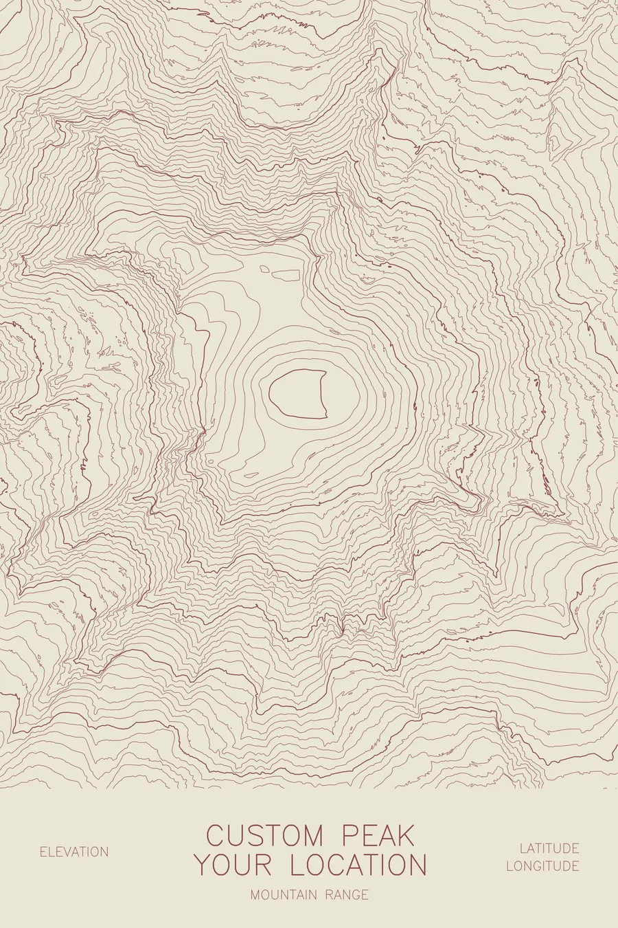
The example images show the layout (the terrain is Mount Rainier); your map is built for your peak. Looking for Rainier, the Tetons, or Half Dome? Those are ready-made in the shop.
More maps