
California
El Capitan
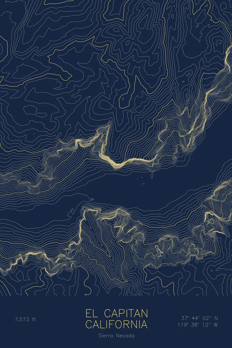
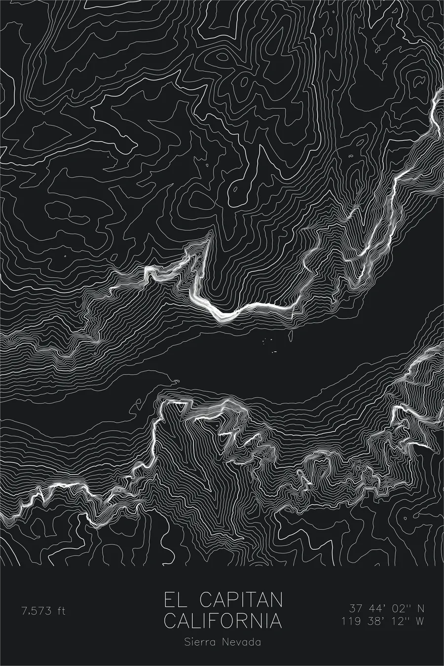
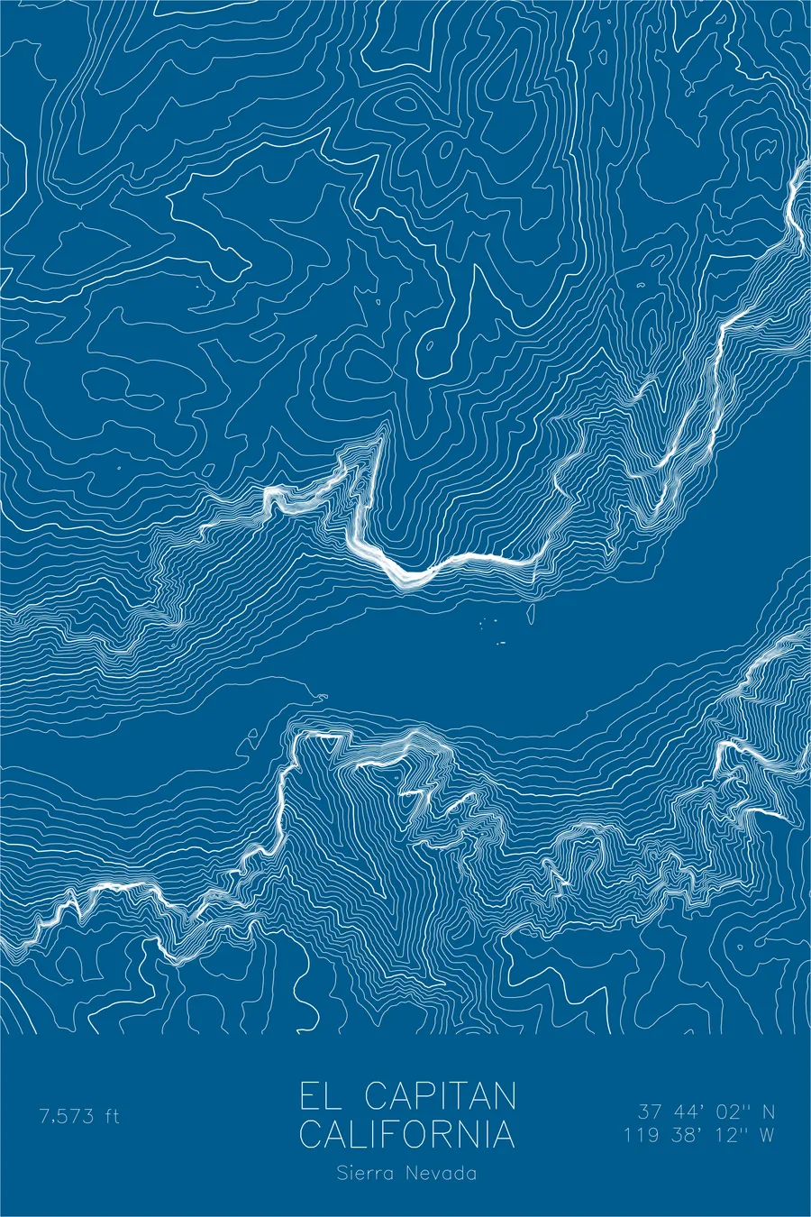
A pen-plotted topographic map of El Capitan in the Sierra Nevada, California, drawn from real elevation contour data.
The Nose: 47 days in 1958, 1 hour 58 minutes in 2018.
$54
Ink & paper: Green
Size: 12×18"
+Personalize this map
+ Details
- 12 × 18 inches
- Drawn on 98 lb (160 gsm) archival cotton paper
- Precision technical pens and archival inks
- Signed and dated on the back
- Ships flat, protected, ready to frame
Each map begins with elevation data and is drawn by a pen plotter in our Vermont studio. Mechanical precision, plus the texture and small imperfections of real ink on paper.
Off the screen
In real rooms


+ About this map
The first ascent of the Nose took 47 days. Warren Harding, Wayne Merry, and George Whitmore topped out on November 12, 1958, after roughly 18 months of siege-style effort, Harding spending the final 15 hours hand-drilling 28 expansion bolts up an overhanging headwall through the night to finish at 6 a.m. In June 2018 Alex Honnold and Tommy Caldwell climbed the same route in 1 hour 58 minutes, comfortably before lunch. The wall itself has not changed: El Capitan still rises to 7,573 feet on the north side of Yosemite Valley, a single unbroken monolith of granite climbing roughly 3,000 vertical feet from the valley floor.
A contour map of El Capitan looks like no ordinary mountain. Along the wall the lines fuse into a single dense band, thousands of feet of elevation compressed into almost no horizontal distance. Behind the rim they open abruptly onto the gentle forested slopes of the summit plateau, and below, the flat floor of Yosemite Valley reads as near-empty space threaded by the meanders of the Merced River.
+ Map details
- El Capitan
- California
- United States
- Sierra Nevada
- Sierra Nevada
- 7,573 ft / 2,308 m
- 37.7340N 119.6368W
- Mountain topographic map
- Original pen plot, archival ink on cotton paper
- 8 × 12 in · 12 × 18 in · 18 × 24 in
- World's most famous big wall, Yosemite icon
More maps