

California
Mount Baldy
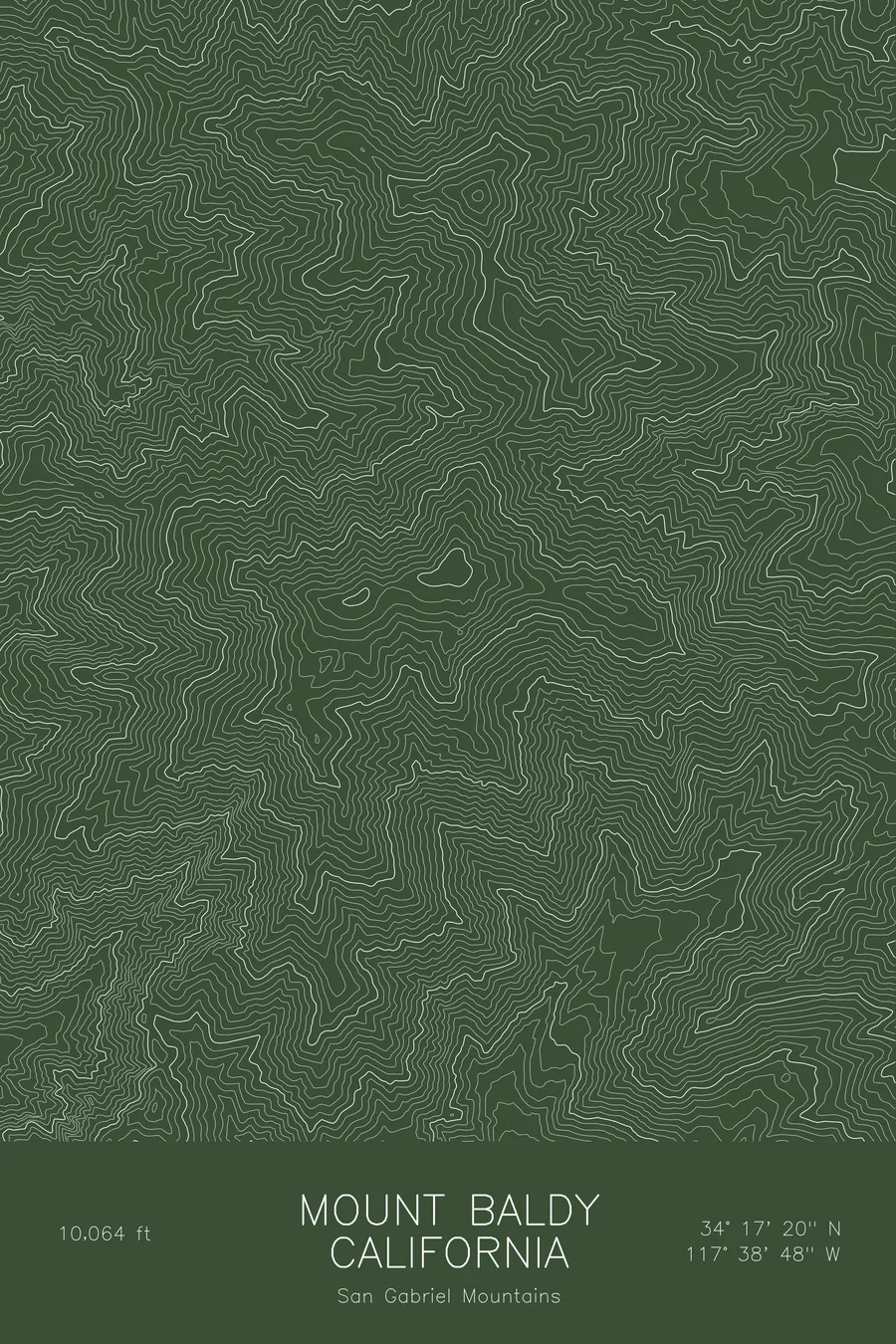
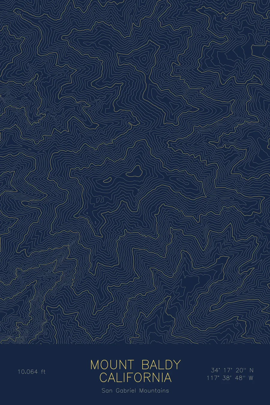
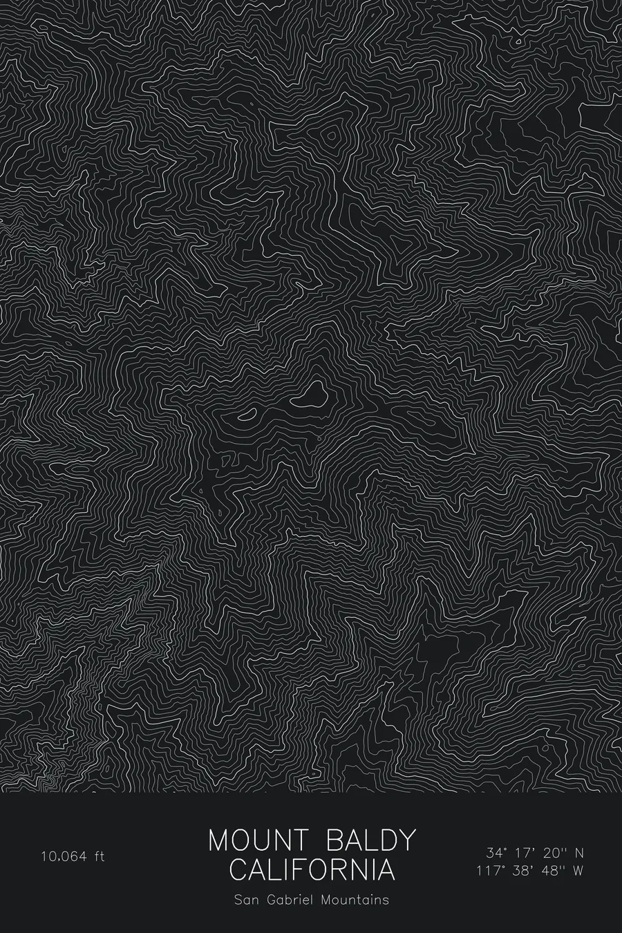
A pen-plotted topographic map of Mount Baldy in the San Gabriel Mountains, California, drawn from real elevation contour data.
Mount San Antonio, highest peak of the San Gabriel Mountains and Los Angeles County. 10,064 feet above sea level.
$54
Ink & paper: Blue
Size: 12×18"
+Personalize this map
+ Details
- 12 × 18 inches
- Drawn on 98 lb (160 gsm) archival cotton paper
- Precision technical pens and archival inks
- Signed and dated on the back
- Ships flat, protected, ready to frame
Each map begins with elevation data and is drawn by a pen plotter in our Vermont studio. Mechanical precision, plus the texture and small imperfections of real ink on paper.
Off the screen
In real rooms


+ About this map
Mount Baldy, officially Mount San Antonio, rises to 10,064 feet in California’s San Gabriel Mountains, the highest point in the range and in Los Angeles County. It stands over the Los Angeles basin, visible from much of the city on clear winter days with snow on its bare summit, and it is one of the most climbed peaks in Southern California. The Devil’s Backbone ridge and the Baldy Bowl carry the two most popular routes to the top.
This map traces a mountain of steep, deeply cut canyons. The contour lines climb from San Antonio Canyon in tight, closely spaced bands, with the Baldy Bowl showing as a scooped hollow below the summit and the Devil’s Backbone as a narrow crest running east. The elevation on this sheet runs from about 4,750 feet to the summit, more than 5,300 feet of relief between canyon floor and summit.
+ Map details
- Mount Baldy
- California
- United States
- San Gabriel Mountains
- San Gabriel Mountains
- 10,064 ft / 3,068 m
- 34.2889N 117.6467W
- Mountain topographic map
- Original pen plot, archival ink on cotton paper
- 8 × 12 in · 12 × 18 in · 18 × 24 in
- Mount San Antonio, highest peak of the San Gabriel Mountains and Los Angeles County
More maps