
Japan
Mount Fuji
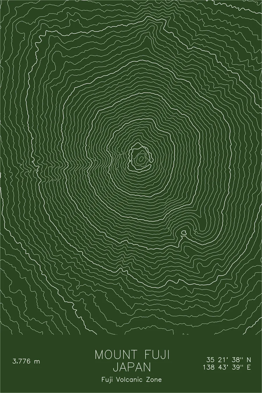
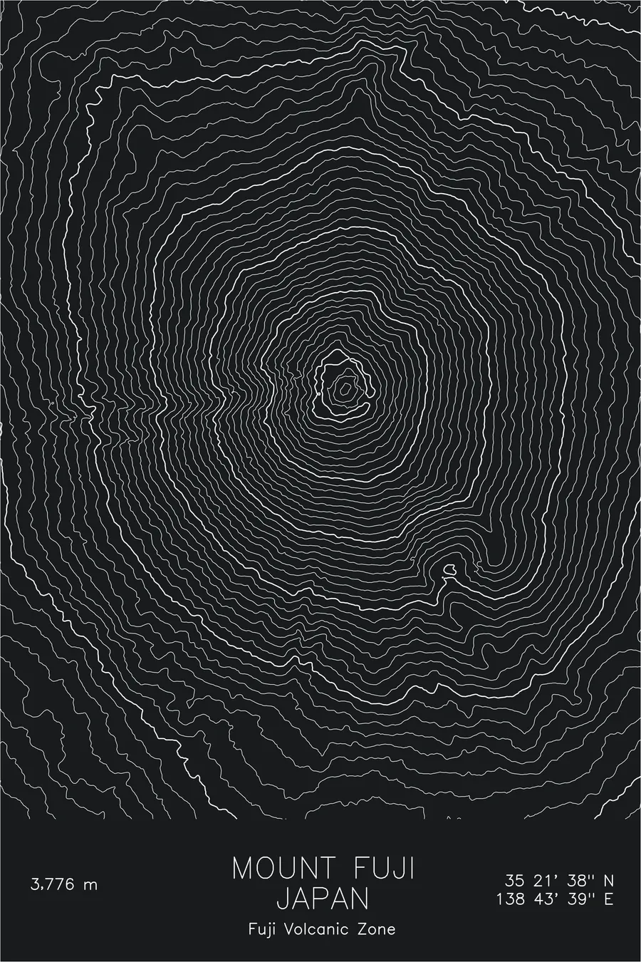
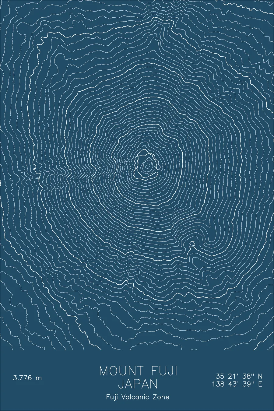
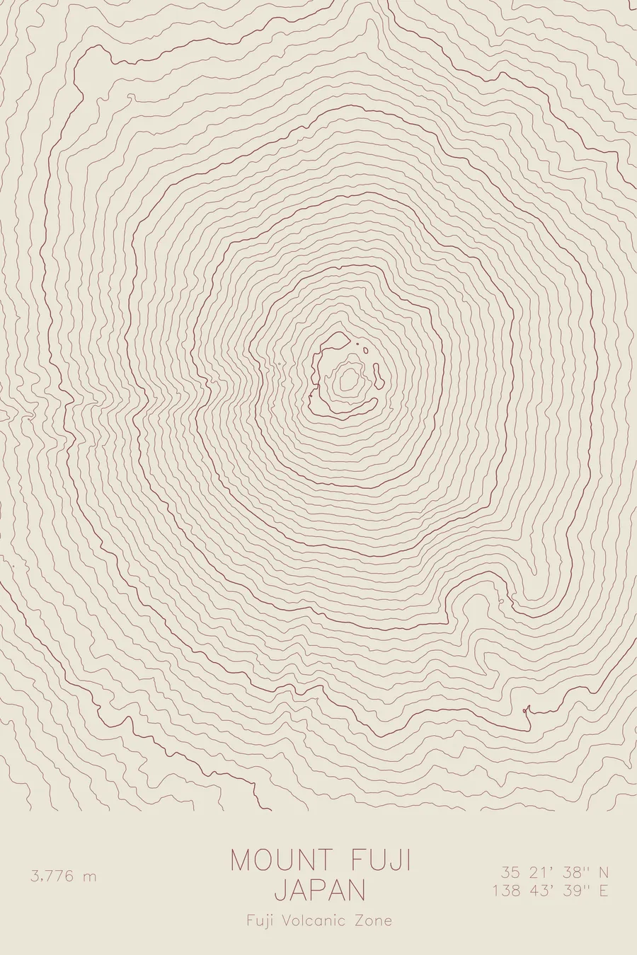
A pen-plotted topographic map of Mount Fuji in the Fuji Volcanic Zone, Japan, drawn from real elevation contour data.
Japan's highest peak and most iconic natural landmark: a near-perfect volcanic cone. 12,389 feet above sea level.
$54
Ink & paper: Navy
Size: 12×18"
+Personalize this map
+ Details
- 12 × 18 inches
- Drawn on 98 lb (160 gsm) archival cotton paper
- Precision technical pens and archival inks
- Signed and dated on the back
- Ships flat, protected, ready to frame
Each map begins with elevation data and is drawn by a pen plotter in our Vermont studio. Mechanical precision, plus the texture and small imperfections of real ink on paper.
Off the screen
In real rooms


+ About this map
Mount Fuji stands alone. Rising 12,389 feet from the coastal plains southwest of Tokyo, its near-perfect symmetrical cone has defined the Japanese landscape, literally and culturally, for centuries. It is the country’s highest peak, climbed by hundreds of thousands of people each summer, and arguably the most recognizable volcano on Earth.
This map reveals what makes Fuji’s form so striking in topographic terms: the remarkably even spacing of contour lines radiating from the summit crater, interrupted only by the Osawa Kuzure, the huge erosion gully that scars the western face. The symmetry is real, but imperfect. The imperfections are where the mountain’s geological story lives.
+ Map details
- Mount Fuji
- Japan
- Fuji Volcanic Zone
- Japan
- 12,389 ft / 3,776 m
- 35.3606N 138.7274E
- Mountain topographic map
- Original pen plot, archival ink on cotton paper
- 8 × 12 in · 12 × 18 in · 18 × 24 in
- Japan's highest peak and most iconic natural landmark: a near-perfect volcanic cone
More maps