
California
Mount Whitney
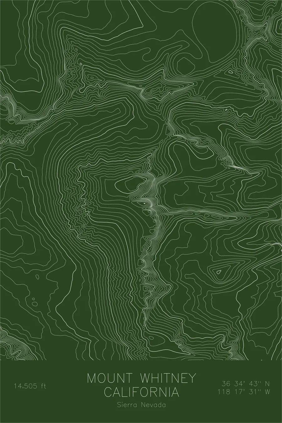
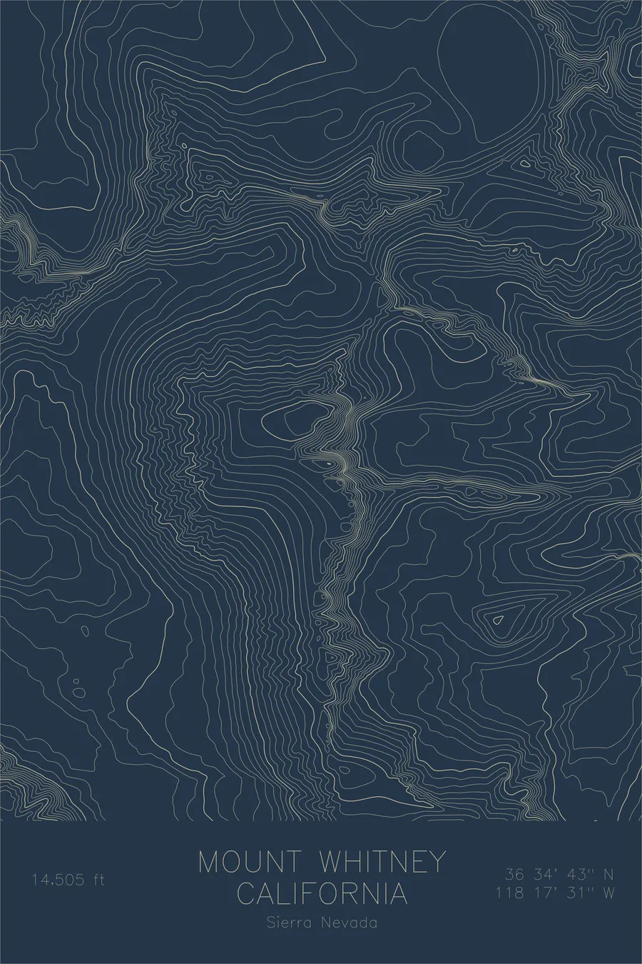
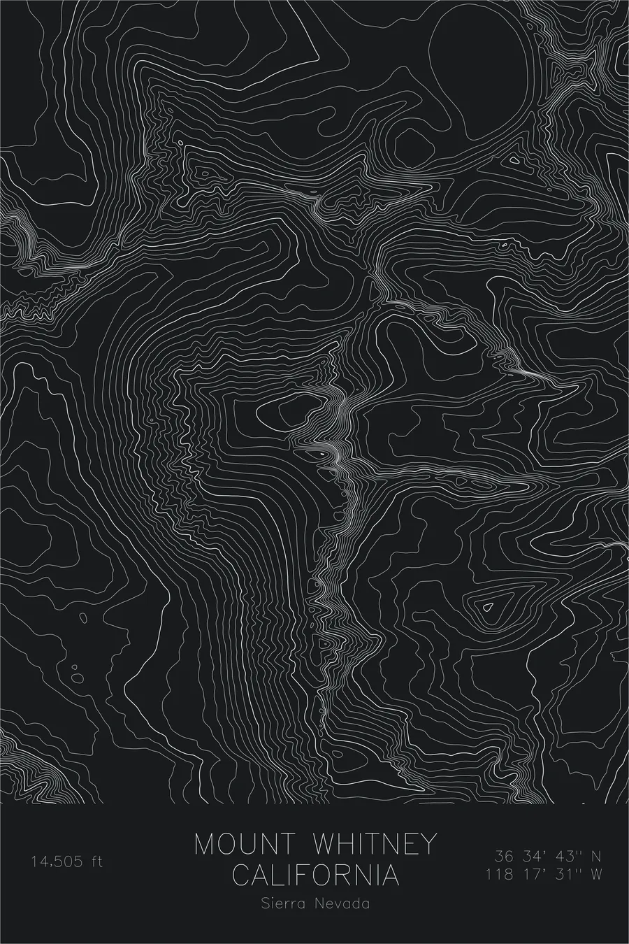
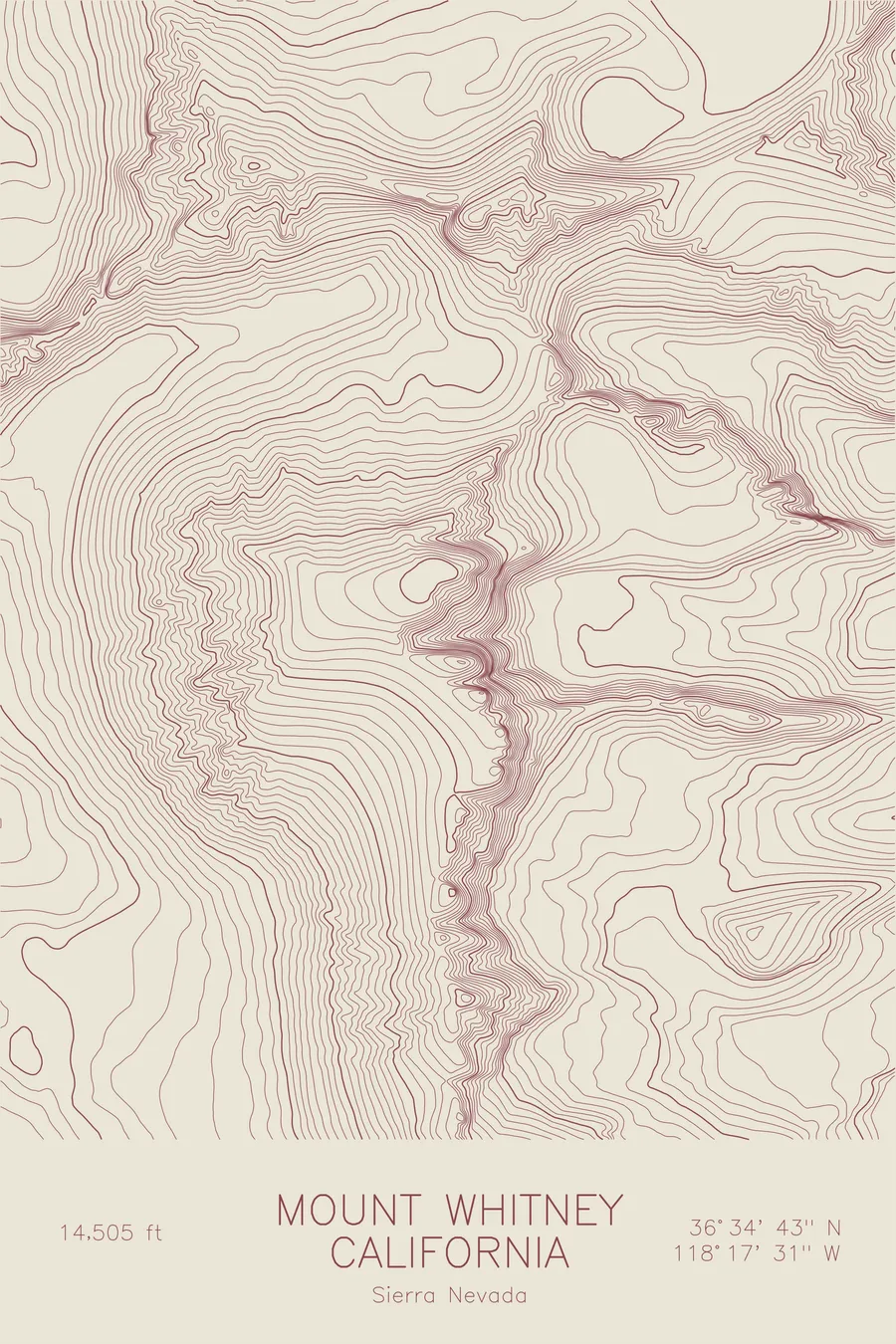
A pen-plotted topographic map of Mount Whitney in the Sierra Nevada, California, drawn from real elevation contour data.
Highest peak in the contiguous United States. 14,505 feet above sea level.
$54
Ink & paper: Blue
Size: 12×18"
+Personalize this map
+ Details
- 12 × 18 inches
- Drawn on 98 lb (160 gsm) archival cotton paper
- Precision technical pens and archival inks
- Signed and dated on the back
- Ships flat, protected, ready to frame
Each map begins with elevation data and is drawn by a pen plotter in our Vermont studio. Mechanical precision, plus the texture and small imperfections of real ink on paper.
Off the screen
In real rooms


+ About this map
Mount Whitney reaches 14,505 feet at the crest of the Sierra Nevada, the highest summit in the contiguous United States. It sits at the eastern edge of the range, where the Sierra escarpment drops over 10,000 feet in fewer than fifteen miles to the floor of the Owens Valley, one of the greatest elevation gradients in North America. The peak is the terminus of the John Muir Trail and the endpoint of a 211-mile traverse from Yosemite Valley.
This map traces the dramatic asymmetry of the Sierra crest. The western slopes descend gradually through high alpine basins and lake-studded granite plateaus, the contour lines spreading wide. The eastern face is a different mountain entirely. The lines compress to near-vertical density, revealing the sheer granite needles and deep couloirs that define the Whitney massif. The contrast between the two sides captures the fundamental tectonic story of the Sierra: a gentle westward tilt and a precipitous eastern fault scarp.
+ Map details
- Mount Whitney
- California
- United States
- Sierra Nevada
- Sierra Nevada
- 14,505 ft / 4,421 m
- 36.5786N 118.2920W
- Mountain topographic map
- Original pen plot, archival ink on cotton paper
- 8 × 12 in · 12 × 18 in · 18 × 24 in
- Highest peak in the contiguous United States
More maps