

California
Mount Williamson
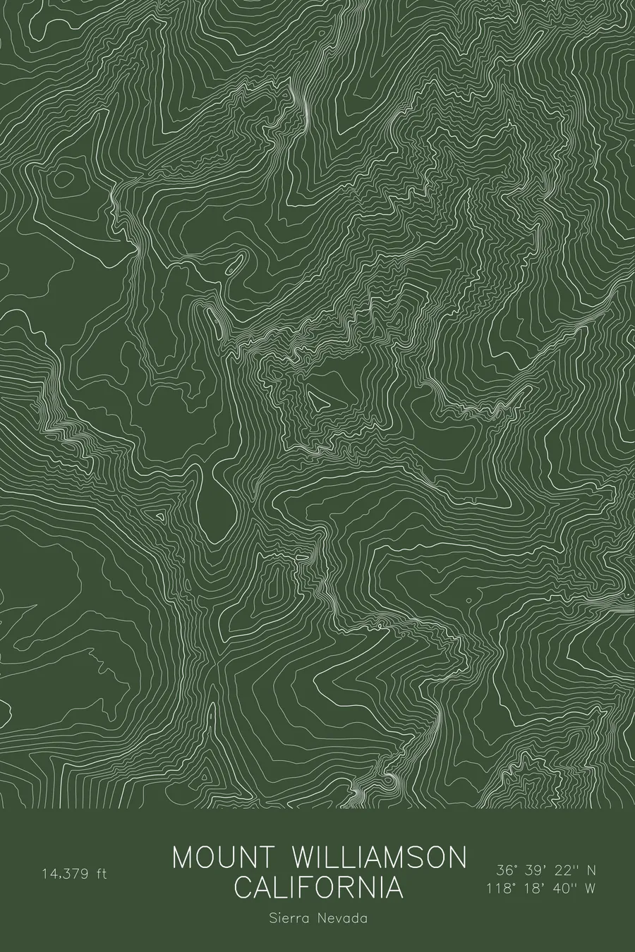
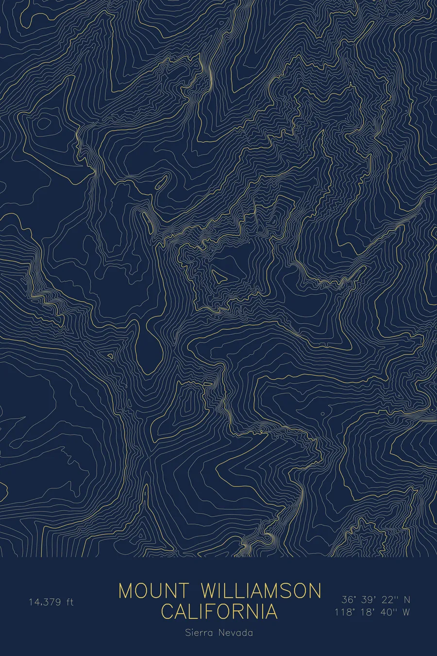
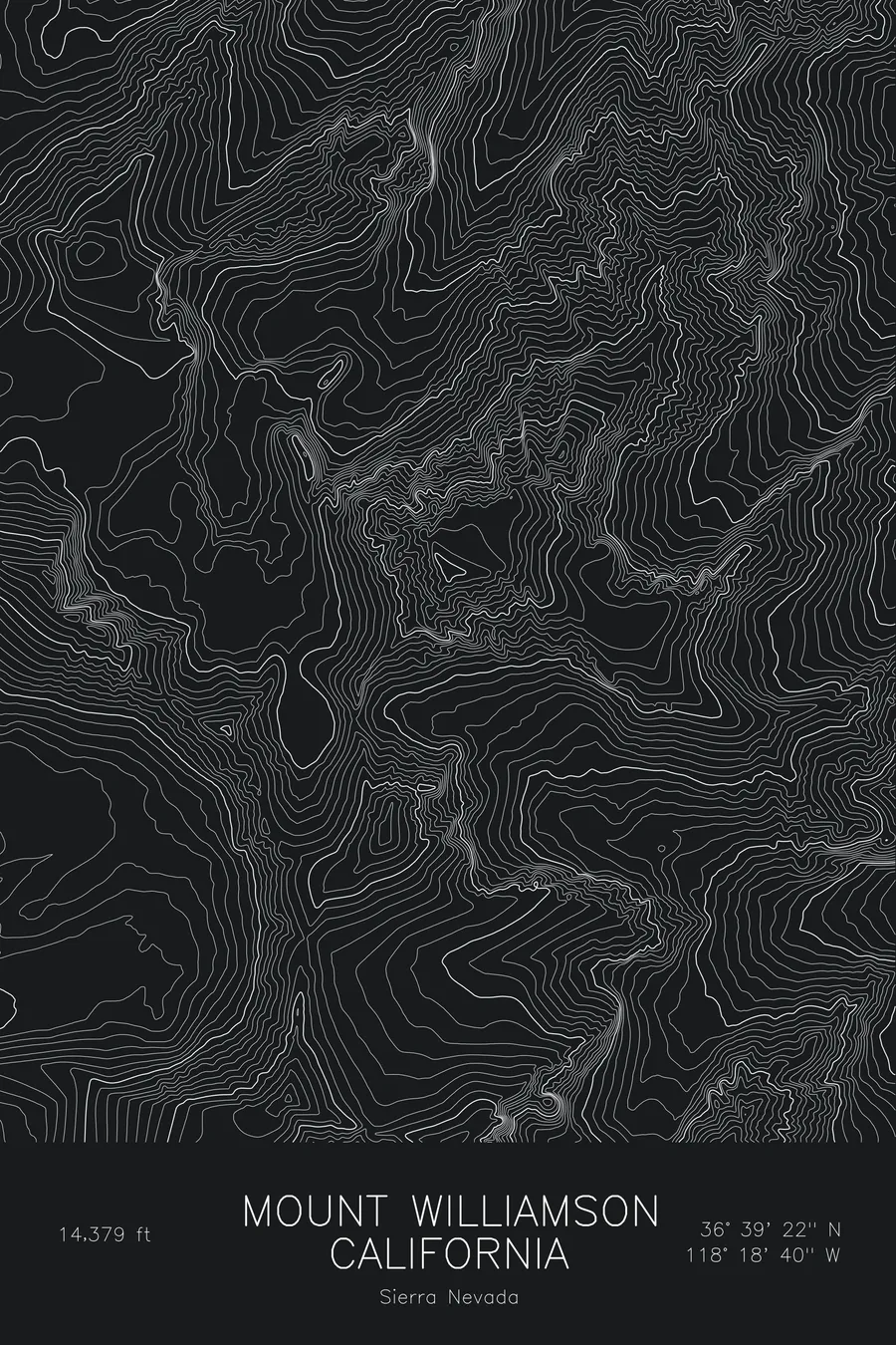
A pen-plotted topographic map of Mount Williamson in the Sierra Nevada, California, drawn from real elevation contour data.
Second-highest peak in California and the Sierra Nevada. 14,379 feet above sea level.
$54
Ink & paper: Blue
Size: 12×18"
+Personalize this map
+ Details
- 12 × 18 inches
- Drawn on 98 lb (160 gsm) archival cotton paper
- Precision technical pens and archival inks
- Signed and dated on the back
- Ships flat, protected, ready to frame
Each map begins with elevation data and is drawn by a pen plotter in our Vermont studio. Mechanical precision, plus the texture and small imperfections of real ink on paper.
Off the screen
In real rooms


+ About this map
Mount Williamson rises to 14,379 feet in California’s Sierra Nevada, the second-highest peak in the state and in the range, a few miles north of Mount Whitney. Unlike Whitney it sits east of the main crest on its own massif, so from the Owens Valley it looks bigger than anything around it, a broad wall of granite rising almost two vertical miles above the desert floor near Manzanar. The standard approach crosses Shepherd Pass and drops into the Williamson Bowl, a high basin of lakes on the mountain’s west side.
This map traces the sheer eastern escarpment. The contour lines on the east face are compressed into near-solid bands where the mountain falls toward the valley, and even within this frame, which does not reach the valley floor, the terrain covers more than 5,200 feet. The west side is gentler, with the Williamson Bowl drawn as a rough basin of lakes and talus below the summit, and the long north ridge tapering toward the canyons that drain to the Owens Valley.
+ Map details
- Mount Williamson
- California
- United States
- Sierra Nevada
- Sierra Nevada
- 14,379 ft / 4,383 m
- 36.6560N 118.3112W
- Mountain topographic map
- Original pen plot, archival ink on cotton paper
- 8 × 12 in · 12 × 18 in · 18 × 24 in
- Second-highest peak in California and the Sierra Nevada
More maps