

Indonesia
Puncak Jaya
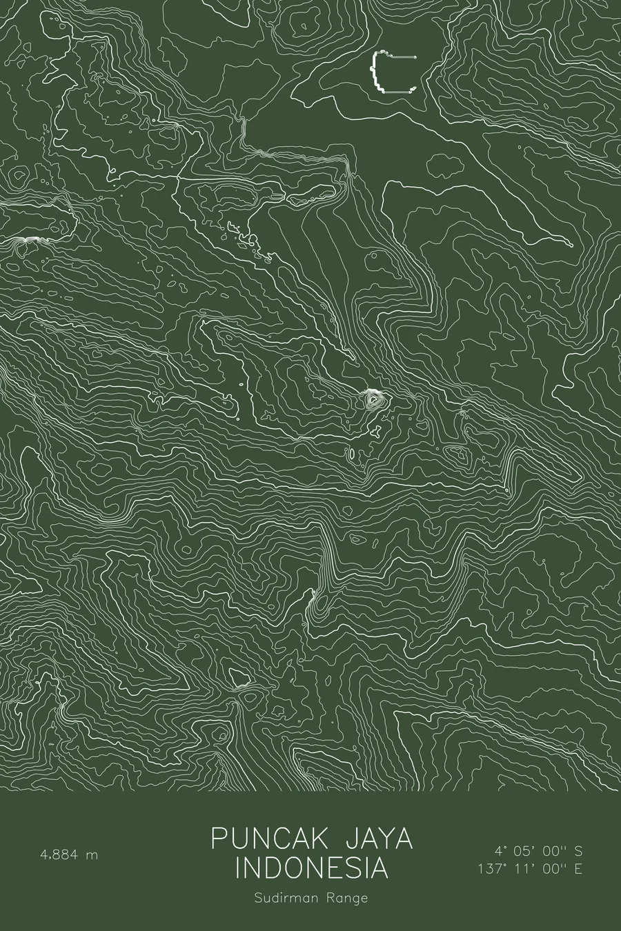
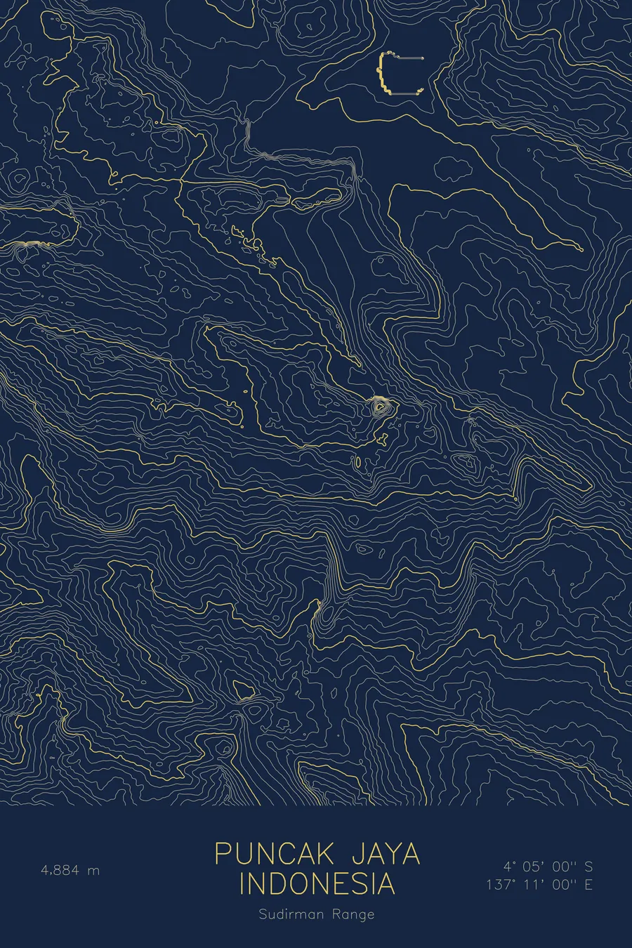
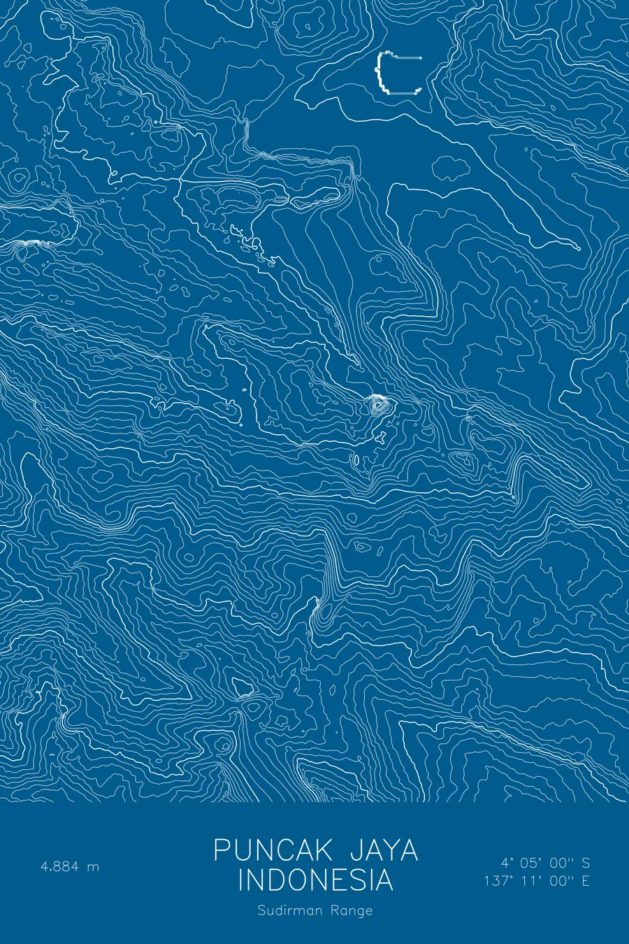
A pen-plotted topographic map of Puncak Jaya in the Sudirman Range, Indonesia, drawn from real elevation contour data.
Highest peak in Oceania, Seven Summits. 16,024 feet above sea level.
$54
Ink & paper: Black
Size: 12×18"
+Personalize this map
+ Details
- 12 × 18 inches
- Drawn on 98 lb (160 gsm) archival cotton paper
- Precision technical pens and archival inks
- Signed and dated on the back
- Ships flat, protected, ready to frame
Each map begins with elevation data and is drawn by a pen plotter in our Vermont studio. Mechanical precision, plus the texture and small imperfections of real ink on paper.
Off the screen
In real rooms


+ About this map
Puncak Jaya rises 16,024 feet in the Sudirman Range of Indonesian New Guinea, the highest peak in Oceania and the highest island summit on Earth. Also known as Carstensz Pyramid, it is the outlier among the Seven Summits: where the others are walked or cramponed, this one demands real rock climbing on steep equatorial limestone. Just four degrees south of the equator, the surrounding peaks once held tropical glaciers, ice that has now almost entirely disappeared.
This map shows terrain unlike any other in the collection. The contour lines trace knife-edge limestone ridges and abrupt walls, the product of an uplifted seabed carved by ice and tropical rain. Tight bands mark the sheer north face that gives the standard route its climbing, while the surrounding crests of the Sudirman Range ripple across the print in sharp, parallel arêtes. It is a portrait of alpine rock rising improbably above rainforest.
+ Map details
- Puncak Jaya
- Indonesia
- Sudirman Range
- Sudirman Range
- 16,024 ft / 4,884 m
- 4.0833S 137.1833E
- Mountain topographic map
- Original pen plot, archival ink on cotton paper
- 8 × 12 in · 12 × 18 in · 18 × 24 in
- Highest peak in Oceania, Seven Summits
More maps